
Description
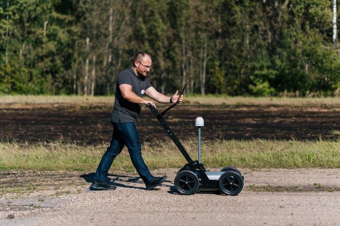
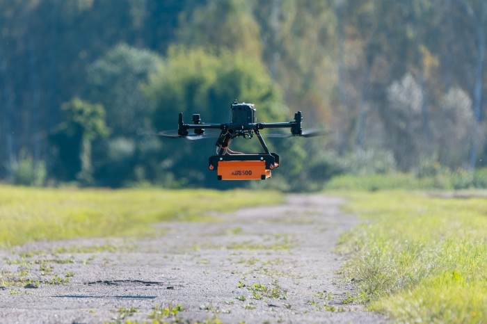
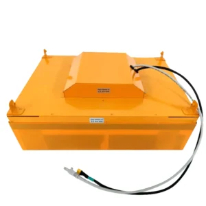
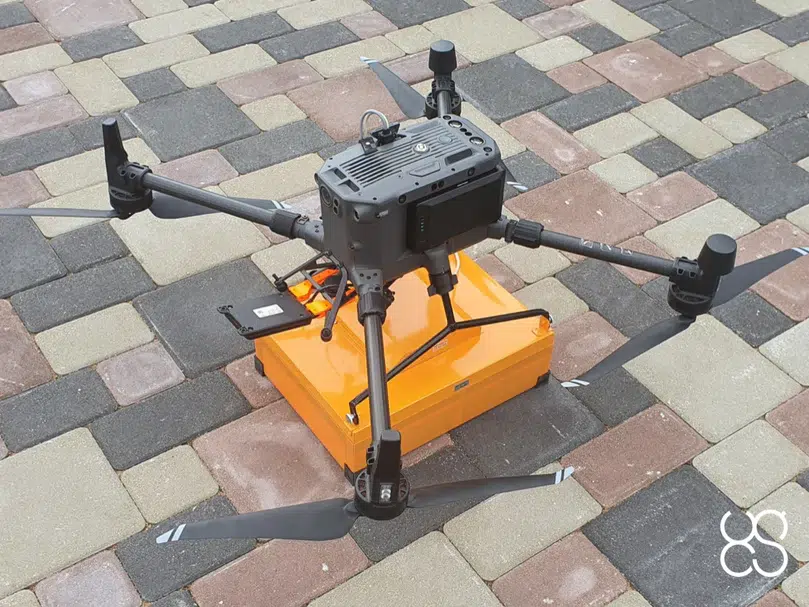
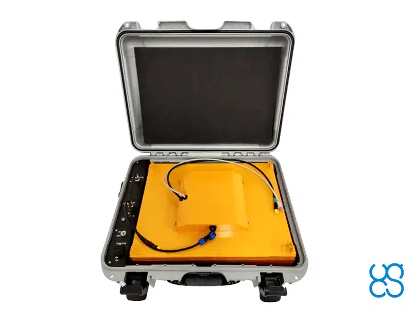
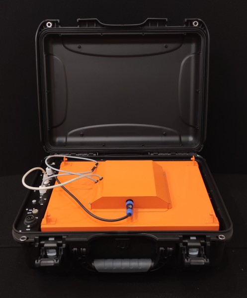
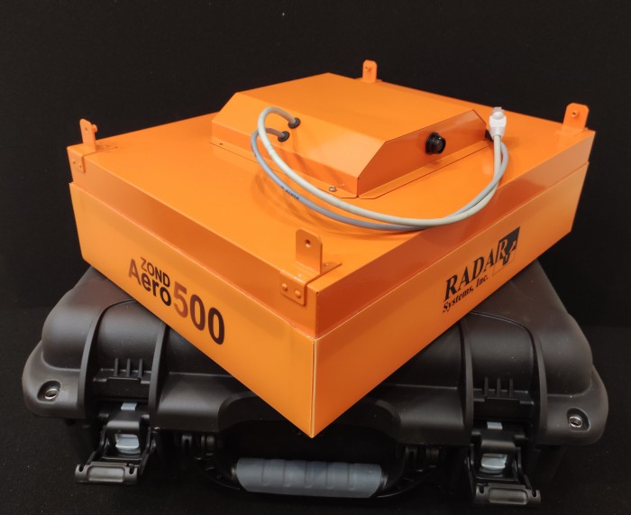
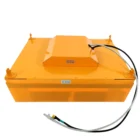
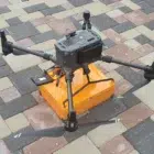
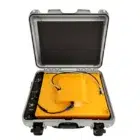
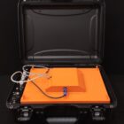
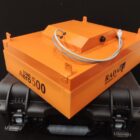
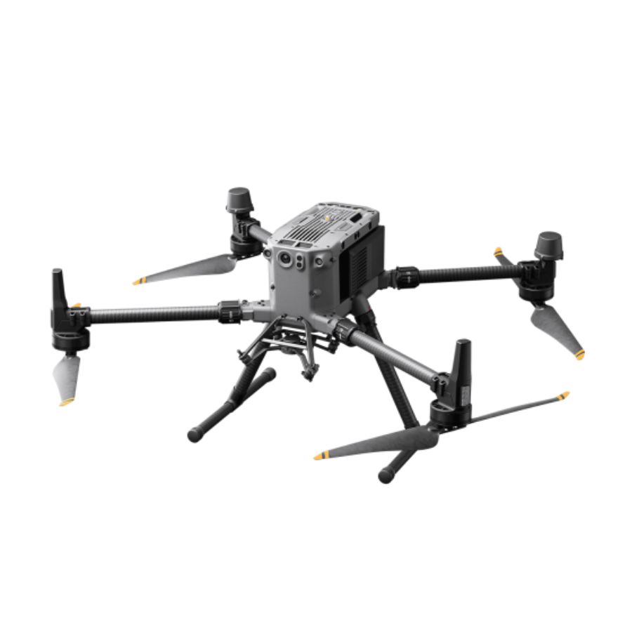
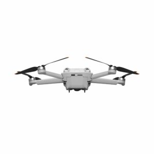
Elevate your drone surveying with the Radar Systems Zond Aero 500, a lightweight GPR system, suitable for medium-sized drones like DJI M300 RTK. Includes a transportation box and mountings for the DJI M300 RTK or DJI M600 Pro drone.
Specification
| Feature | Description |
|---|---|
| Technology | Medium-frequency Ground Penetrating Radar (GPR) |
| Operating Frequency | 500 MHz for a balance between depth penetration and resolution |
| Maximum Depth Penetration | Suitable for detecting buried objects, utilities, and subsurface anomalies |
| UAV Compatibility | Designed for medium-sized drones like DJI M300/M350 RTK |
| Weight & Design | Ultra-lightweight and aerodynamic for optimized flight performance |
| Data Acquisition | Wireless real-time data transmission for instant analysis |
| Resolution | High-resolution imaging for detailed subsurface mapping |
| Power Supply | Lightweight, energy-efficient battery system |
| Weather Resistance | Durable and field-ready for various environmental conditions |
| Applications | Utility mapping, archaeology, geophysical exploration, UXO detection, infrastructure assessment |
FAQs
1. What makes the Zond Aero 500 different from other GPR systems?
The Zond Aero 500 operates at 500 MHz, offering a balanced combination of penetration depth and resolution, making it ideal for detecting buried utilities, archaeological sites, and subsurface anomalies with high precision.
2. What types of drones are compatible with the Zond Aero 500?
This system is optimized for medium-sized UAVs, such as the DJI M300/M350 RTK, ensuring stable and efficient aerial GPR surveying.
3. What industries can benefit from using the Zond Aero 500?
It is widely used in utility mapping, infrastructure inspections, archaeology, geophysical exploration, UXO detection, and environmental studies, providing accurate and efficient subsurface imaging.
4. How deep can it penetrate?
With its 500 MHz frequency, the system provides a moderate penetration depth, typically ranging from 3 to 5 meters, depending on soil conditions and target material properties.
5. Does it support real-time data transmission?
Yes, the system features wireless real-time data acquisition, allowing operators to monitor and analyze subsurface data instantly for quick decision-making


There are no reviews yet.