

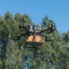
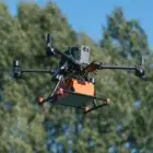
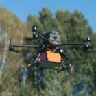
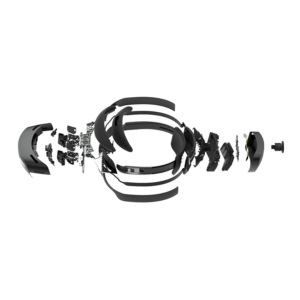
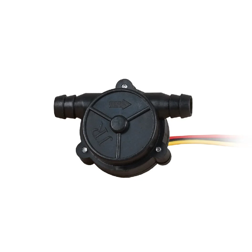
Description
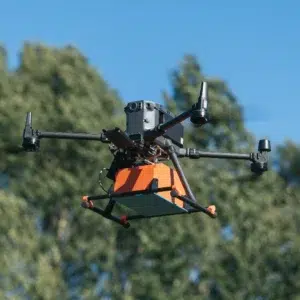
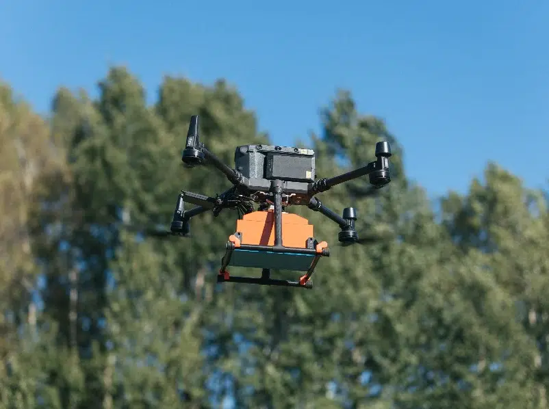
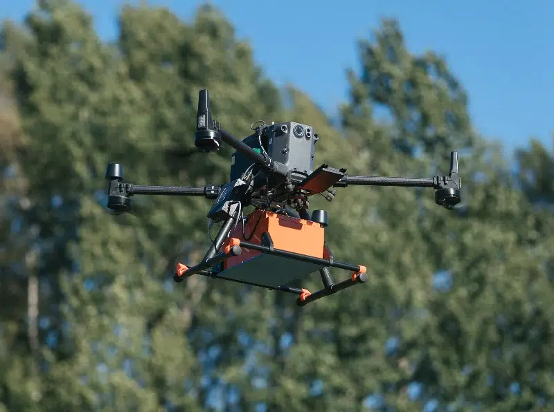
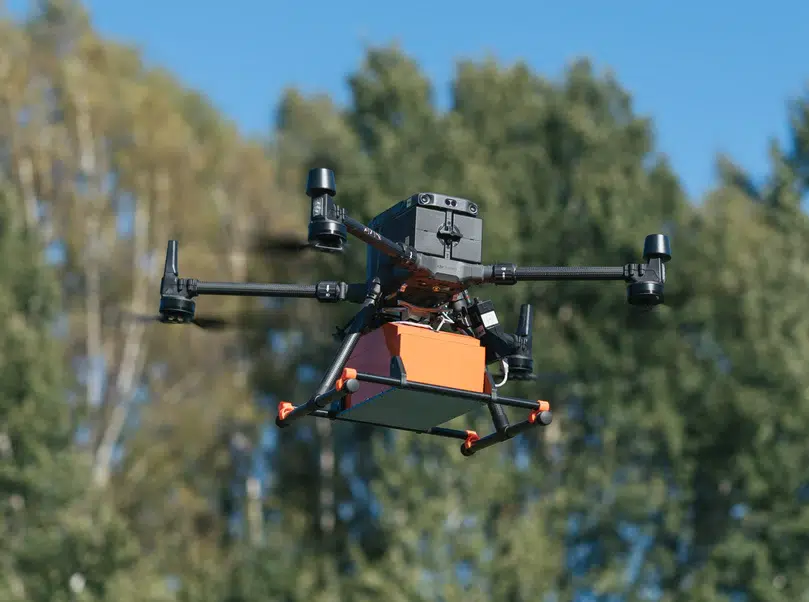
GPR system: Radar Systems Zond Aero 1000 “NG”
The Radar Systems Zond Aero 1000 “NG” is a state-of-the-art high-frequency Ground Penetrating Radar (GPR) system, designed for UAV-based subsurface imaging with exceptional precision. Featuring a 1000 MHz operating frequency, this ultra-lightweight system is optimized for detecting shallow subsurface structures, utilities, pipelines, and archaeological features with high-resolution accuracy.
1000 MHz High-Frequency GPR – Delivers detailed imaging of shallow subsurface features.
Optimized for UAV Deployment – Lightweight and aerodynamic, ideal for drone-based surveys.
Ultra-High-Resolution Data – Captures fine details for precise mapping of small and shallow objects.
Real-Time Wireless Data Transfer – Enables live monitoring and fast decision-making.
Multi-Industry Applications – Perfect for utility detection, forensic investigations, infrastructure assessments, and archaeological studies.
General
| Feature | Description |
|---|---|
| Technology | High-frequency Ground Penetrating Radar (GPR) |
| Operating Frequency | 1000 MHz for ultra-high-resolution subsurface imaging |
| Maximum Depth Penetration | Ideal for detecting shallow objects up to 1–2 meters, depending on soil conditions |
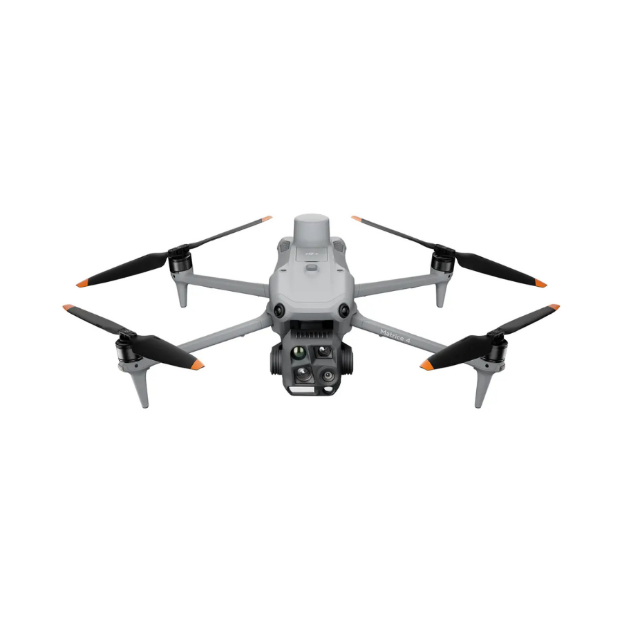
| UAV Compatibility | Designed for medium-sized drones like DJI M300/M350 RTK |
| Weight & Design | Ultra-lightweight and aerodynamic for extended UAV flight time |
| Data Acquisition | Wireless real-time data transmission for instant analysis |
| Resolution | High-resolution imaging for detecting small, shallow objects |
| Power Supply | Lightweight, energy-efficient battery system |
| Weather Resistance | Built to perform in rugged field conditions |
| Applications | Utility detection, archaeological surveys, forensic investigations, infrastructure mapping, environmental studies |
FAQ's
1. What is the primary advantage of the Zond Aero 1000 “NG” compared to other GPR systems?
The Zond Aero 1000 “NG” operates at 1000 MHz, providing ultra-high-resolution imaging for detecting shallow subsurface objects such as small utilities, pipelines, forensic evidence, and archaeological structures with exceptional clarity.
2. What drones are compatible with the Zond Aero 1000 “NG”?
The system is designed for seamless integration with medium-sized UAVs, including the DJI M300/M350 RTK, ensuring stable and efficient airborne surveys.
3. How deep can the Zond Aero 1000 “NG” penetrate?
Due to its high-frequency 1000 MHz operation, it is best suited for shallow subsurface scanning, typically reaching depths of 1–2 meters, depending on soil composition and target material.
4. What are the key applications of this GPR system?
The Zond Aero 1000 “NG” is widely used for utility detection, archaeological exploration, forensic investigations, infrastructure mapping, and environmental studies requiring detailed shallow subsurface imaging.
5. Can the Zond Aero 1000 “NG” provide real-time data transmission?
Yes, it features wireless real-time data acquisition, allowing operators to monitor survey data instantly and make informed decisions during field operations.


There are no reviews yet.