


Hotline : 08447831821
Read More
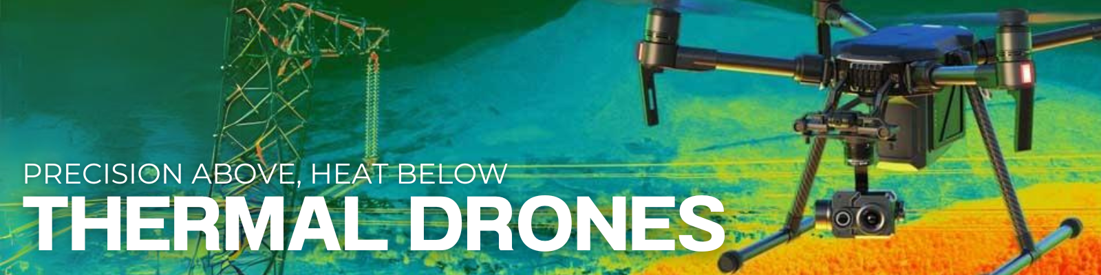
Thermal Drones: Transforming Technology Across Industries
In today’s tech-driven world, innovation constantly changes how we solve problems. As a result, thermal drones have emerged as powerful tools across multiple sectors. These advanced unmanned aerial vehicles (UAVs), equipped with thermal imaging, do more than improve operations — they completely transform them. In this comprehensive guide, we explore thermal drones in depth and highlight the industry-leading models setting new standards for innovation and efficiency.
Understanding Thermal Imaging in Drones
Thermal drones use infrared cameras to detect and visualize heat. Consequently, they deliver real-time thermal images, even in total darkness or through smoke and foliage. This capability proves invaluable for a wide range of applications, such as search and rescue, infrastructure inspection, and wildlife tracking. Unlike conventional imaging, thermal imaging reveals otherwise invisible data, unlocking new perspectives from above.
Top Thermal Drone Models Redefining the Industry
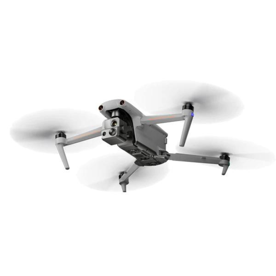
DJI Mavic 3
First, the DJI Mavic 3 blends portability and advanced imaging. Though known for photography, its thermal features also support fast aerial inspections and assessments, making it a flexible tool in the field.
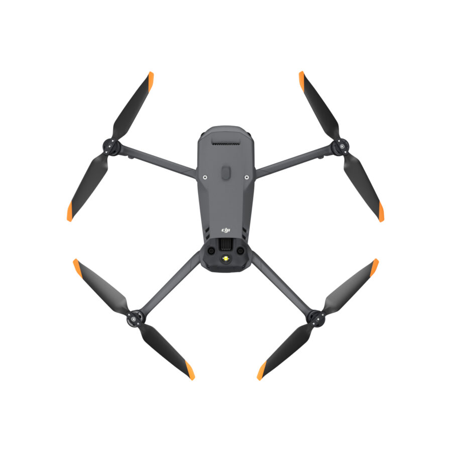
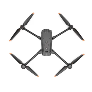
DJI Matrice M30T
Next, the DJI Matrice M30T showcases DJI’s continued innovation. It integrates thermal sensors with AI-powered analytics, making it ideal for precise inspections, rescues, and environmental monitoring across complex landscapes.
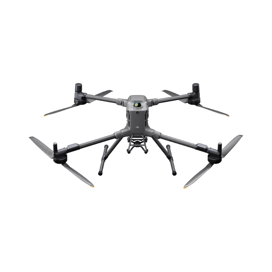
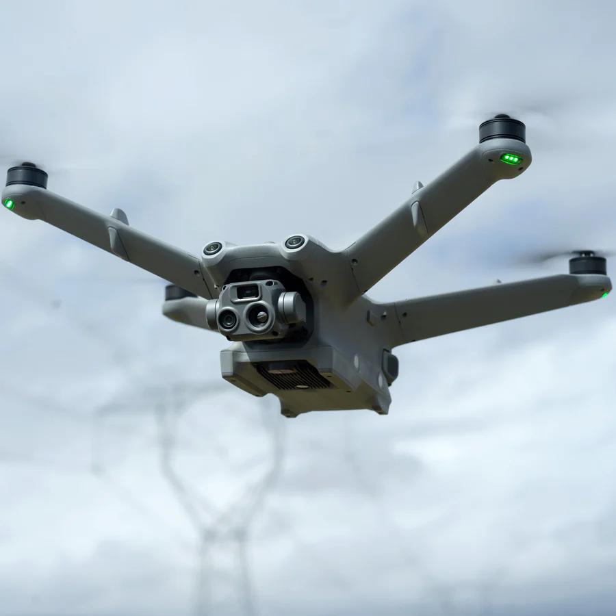
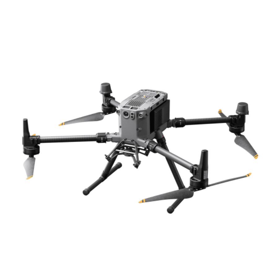
DJI Matrice 300 RTK
Meanwhile, the DJI Matrice 300 RTK offers unmatched durability and performance. With high thermal accuracy, it supports missions in public safety, utilities, and conservation, where reliable data drives critical decisions.
Autel Evo 2 Dual 640T Series
Additionally, the Autel Evo 2 Dual 640T V2 and V3 combine a 4K visual camera with high-resolution thermal imaging. These drones excel in detailed inspections, surveillance, and high-stakes search operations.
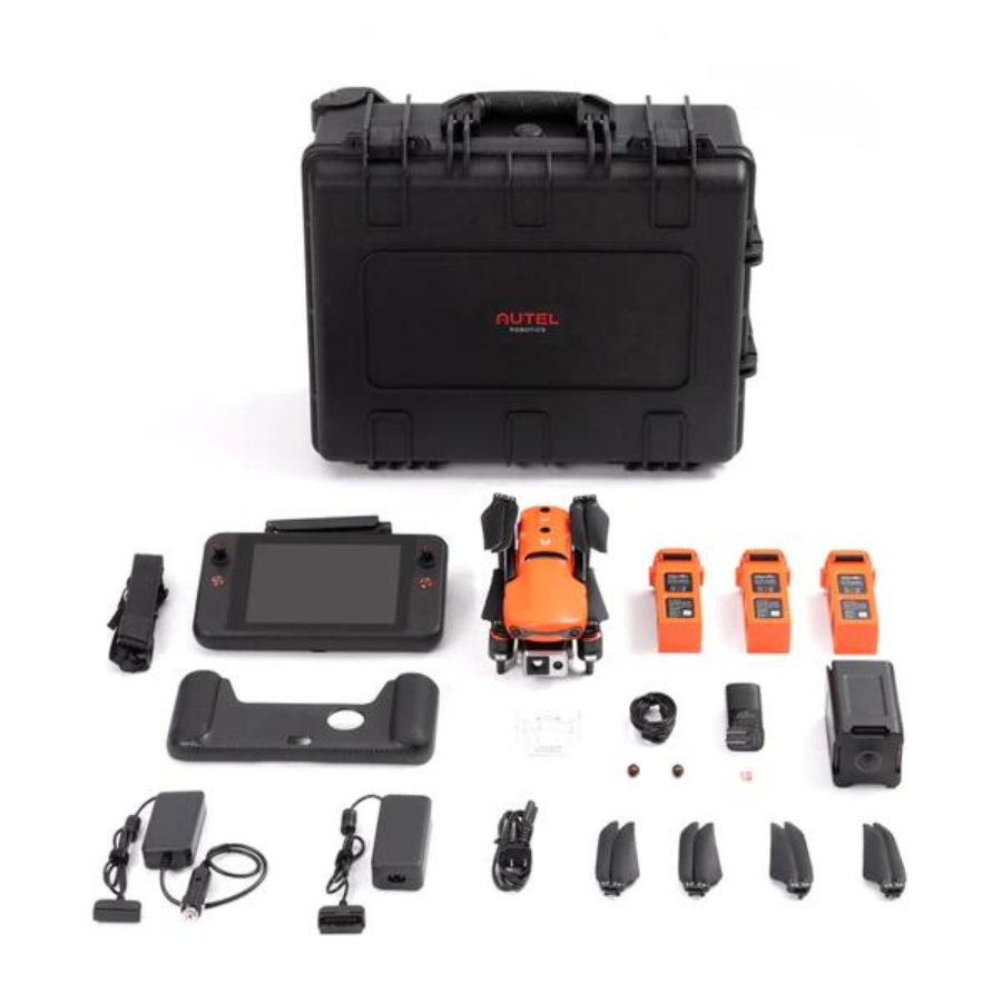
Autel Evo MAX 4T
Finally, the Autel Evo MAX 4T pushes boundaries with its multi-sensor design and long flight time. With obstacle avoidance and superior imaging, it suits complex missions requiring thorough thermal and visual data collection.
Industries Revolutionized by Thermal Drones
Thermal drones deliver value far beyond traditional applications:
Search and Rescue
In emergencies, time is critical. Thermal drones rapidly scan large areas and identify heat signatures, enabling rescuers to locate people or animals faster and in poor visibility.
Infrastructure Inspection
With drones, engineers inspect assets like power lines, pipelines, and solar panels more efficiently. They quickly detect heat anomalies or damage, minimizing risk and downtime.
Agriculture
Farmers use thermal drones to monitor crops, irrigation, and pest activity. These insights help improve yield, reduce waste, and promote sustainable farming practices.
Environmental Monitoring
In conservation, drones map wildfire hotspots, observe wildlife, and track climate changes. Therefore, they offer crucial data for ecosystem protection and policy-making.
Public Safety and Security
For law enforcement and security teams, thermal drones provide night vision, crowd monitoring, and perimeter checks. Thus, they increase situational awareness and operational readiness.
How to Choose the Right Thermal Drone
Choosing the right drone depends on key factors. Consider the required thermal resolution, flight duration, payload capacity, and operational environment. For instance, the DJI Mavic 3 works best for rapid tasks, while the Autel Evo MAX 4T fits complex operations with its extended features.
Looking Ahead: The Future of Thermal Drones
As technology progresses, so do thermal drones. Advancements in AI, automation, and sensor resolution continue to expand their capabilities. These upgrades make drones smarter, faster, and more adaptable to various mission types.
Conclusion: Unlocking a New Era with Thermal Drones
Thermal drones represent a breakthrough in how we explore and manage our surroundings. From enhancing safety and boosting efficiency to driving sustainability, they offer practical solutions across critical fields. As industries embrace drone technology, we witness a future where sky-based data becomes an everyday asset.
FAQs
-
What is a thermal drone, and how does it work?
A thermal drone uses an infrared camera to detect heat and generate images based on temperature differences. It captures invisible heat signatures and translates them into visual data, even in total darkness or through smoke.
-
Where are they used most effectively?
You’ll find these drones in action during search and rescue missions, crop monitoring in agriculture, solar panel inspections, wildlife tracking, and building assessments. They deliver valuable insights quickly and efficiently across various sectors.
-
Can they see through walls?
No, they can’t see through solid surfaces. However, they detect heat around structures, making them useful for spotting insulation issues or temperature leaks.
-
What sets models like the Mavic 3 and Matrice M30T apart?
The Mavic 3 offers basic imaging in a compact form, great for quick assessments. Meanwhile, the Matrice M30T delivers advanced thermal data for professional-grade applications.
-
How accurate are the readings?
Accuracy depends on the camera quality, environmental conditions, and flying altitude. Top-tier models like the Matrice 300 RTK and Autel Evo 2 Dual deliver highly precise results.
-
Do they work at night?
Absolutely. Night operations benefit greatly since they detect heat without relying on light, making them ideal for emergency and wildlife use.
-
What about flight time and indoor use?
Flight duration typically ranges from 20 to 40 minutes, depending on the model. They also perform well indoors, especially in large facilities where thermal inspection of equipment or insulation is required.
-
Are there legal considerations?
Yes, local laws may restrict flights over private property or sensitive areas. Always check regulations before launching any operation.
-
How do I choose the right one?
Start by defining your goals. Then compare models based on resolution, flight time, ease of use, and budget to find the best match.
-
Is training required?
Yes. Many organizations offer training that covers piloting, thermal imaging techniques, and interpreting data for accurate results.
