


Description
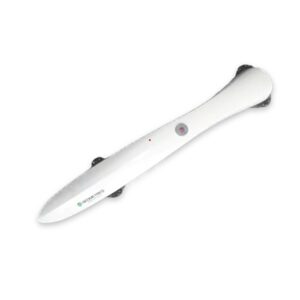
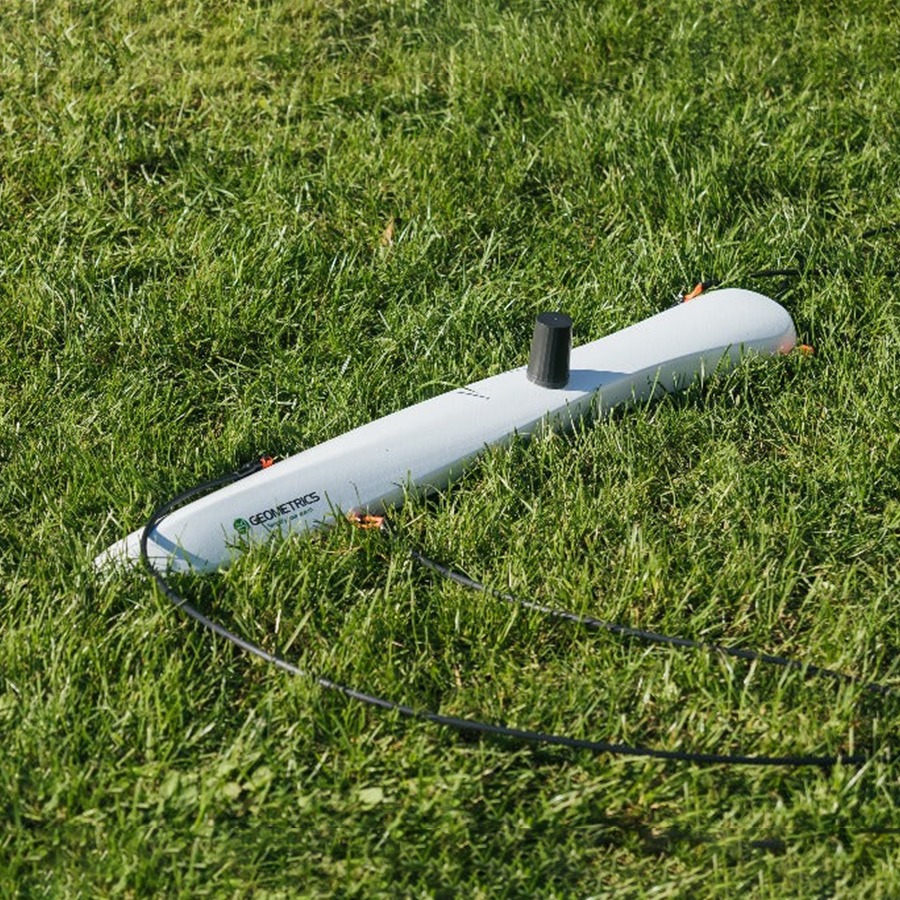
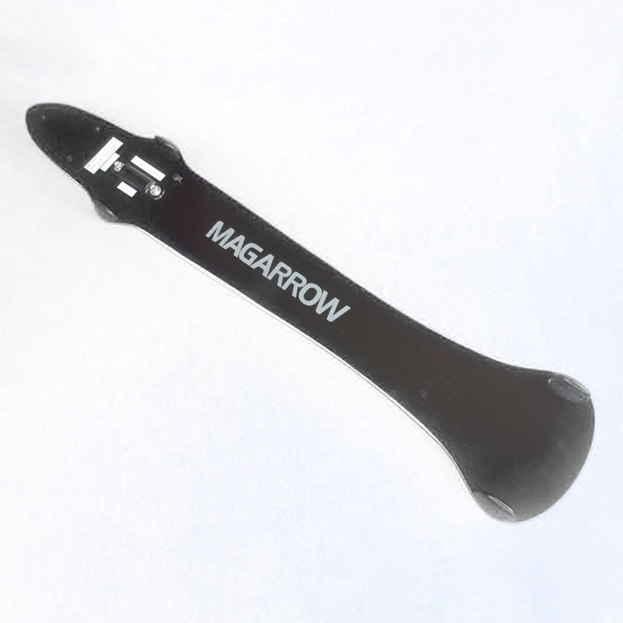
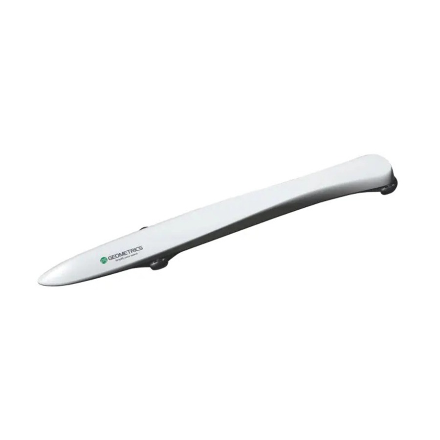
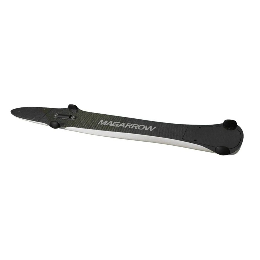
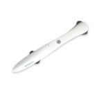
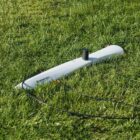
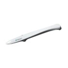
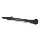
Geometrics MagArrow Mk2 magnetometer
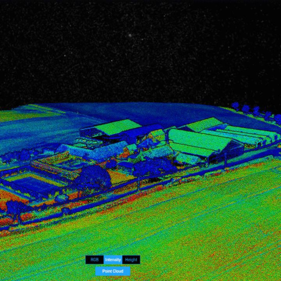
Geometrics MagArrow Mk2 is an advanced, UAV-deployable magnetometer designed for high-resolution magnetic surveys. With cutting-edge technology, lightweight construction, and exceptional sensitivity, it is an ideal solution for geophysical exploration, UXO detection, environmental studies, and archaeological surveys.
Geophysical Exploration – Mineral and resource mapping
UXO Detection – Locating unexploded ordnance
Archaeology – Non-invasive underground structure detection
Environmental Studies – Pollution and subsurface feature analysis
Infrastructure & Security – Identifying buried pipelines and hidden anomalies
Ultra-sensitive lightweight magnetometer for UAV
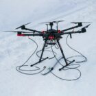
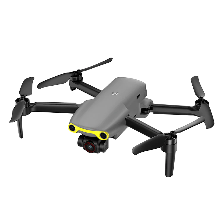
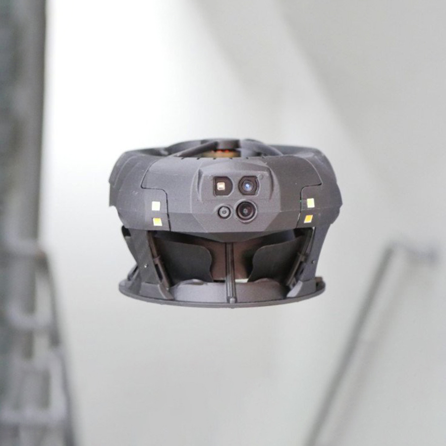
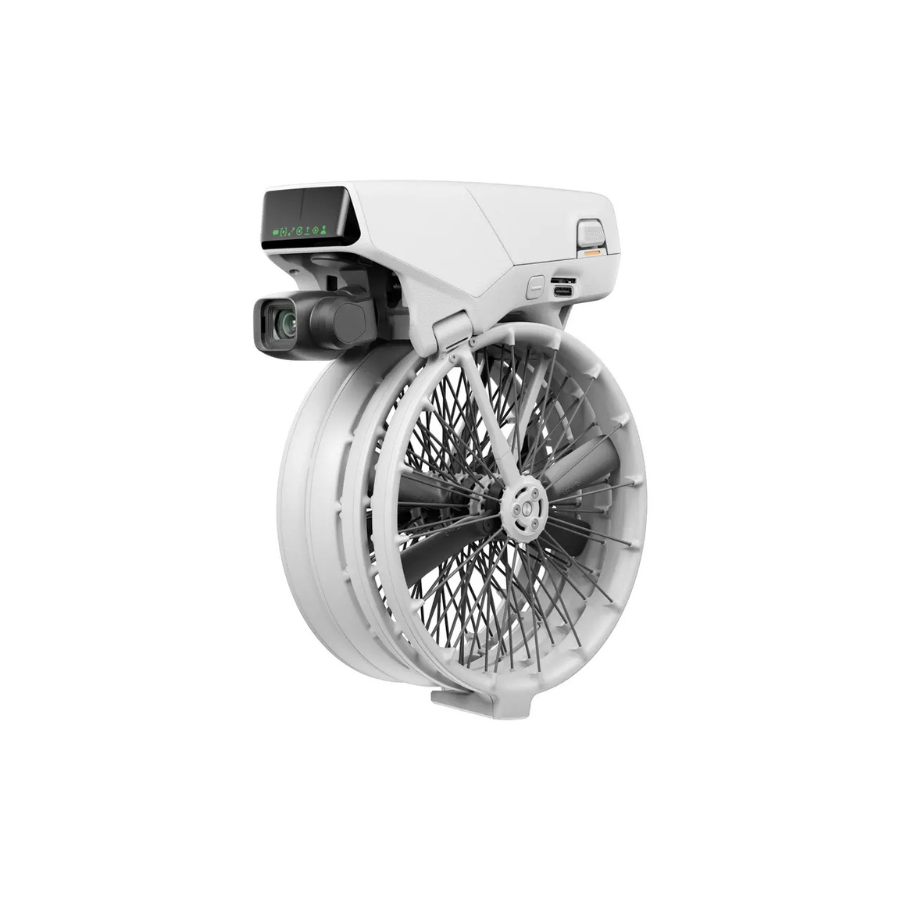
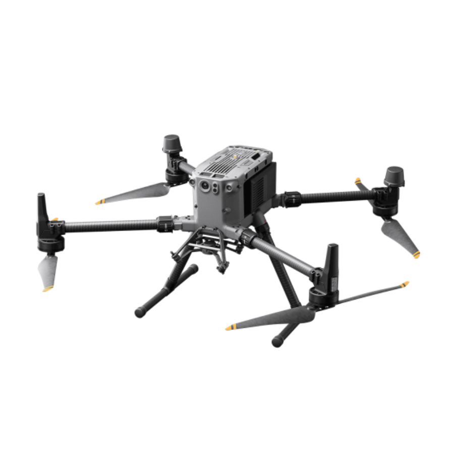
The MagArrow II represents the second generation of Geometrics’ best-selling magnetometer. This advanced system builds on its predecessor’s success while introducing several improvements. It functions as a fully self-contained sensor, featuring a built-in GPS receiver, data recorder, and battery. Additionally, users can deploy the MagArrow II with any UAV capable of carrying a 1 kg payload.
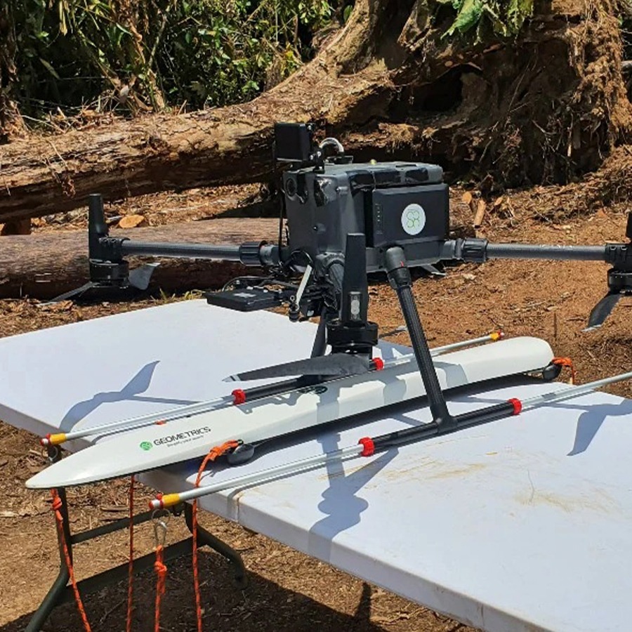
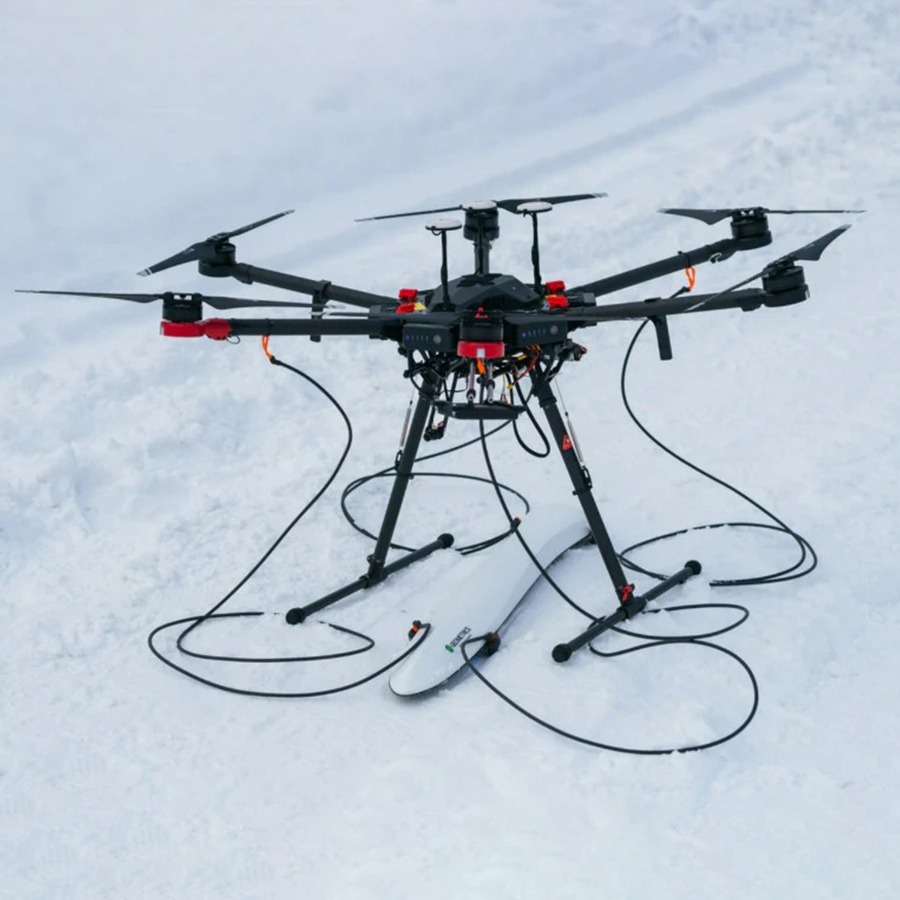
To minimize noise from the drone’s motors and electronics, users should mount the MagArrow with 3-meter-long suspension ropes. This setup reduces magnetic interference and improves data quality. For this configuration, larger drones—such as the DJI M600 Pro or similar—work best. However, when using smaller drones like the DJI M350 or M300 RTK, it’s better to attach extension poles to the drone’s legs to achieve proper clearance.
Alternatively, users can mount the MagArrow directly on the drone’s legs and apply a low-pass filter during post-processing to eliminate noise. While this approach performs well for tasks such as UXO surveys, it may not provide the sensitivity required for detecting weak or long-wavelength anomalies. Therefore, for applications like archaeology or geological mapping, the suspension rope method remains the better option.
Recommended applications include:
- Environmental surveys – Detect abandoned wells, pipes, and buried storage tanks.
- Geological investigations – Map variations in the Earth’s magnetic field.
- Archaeological studies – Identify weak magnetic anomalies from buried features and artifacts.
- UXO detection – Search for unexploded ordnance in former conflict zones or testing ranges.
Keep in mind an important principle when using magnetometers to locate artificial objects or archaeological artifacts: fly as low as possible. For example, during UXO surveys, flying just 1 meter—or even lower—above the ground provides the best results. In such cases, the drone must include a terrain-following system, which comes bundled with the recommended magnetometer package.
Specification
Generals
| Feature | Description |
|---|---|
| Product Type | UAV-mounted magnetometer |
| Technology | High-sensitivity magnetic sensor |
| Application | Geophysical surveys, UXO detection, archaeology, environmental studies |
| Weight | Lightweight for easy UAV integration |
| Data Acquisition | Wireless, real-time data transfer |
| Power Supply | Rechargeable battery-powered system |
| Compatibility | Works with various UAV platforms |
| Weather Resistance | Built to withstand field conditions |
| Software | Includes analysis and processing tools |
| Deployment Time | Quick setup and operation |
FAQs
1. What makes the MagArrow Mk2 different from other magnetometers?
The MagArrow Mk2 is specifically designed for UAV deployment, offering a lightweight yet powerful solution with high sensitivity, real-time data transfer, and easy integration with drone systems.
2. What types of drones can the MagArrow Mk2 be mounted on?
The MagArrow Mk2 is compatible with a wide range of UAV platforms, particularly those with sufficient payload capacity to carry the magnetometer and necessary accessories.
3. How accurate is the MagArrow Mk2?
The MagArrow Mk2 delivers exceptional magnetic resolution, allowing users to detect subtle variations in the Earth’s magnetic field for high-precision survey results.
4. Can I use the MagArrow Mk2 for underwater surveys?
No, the MagArrow Mk2 is specifically designed for aerial surveys and is not suitable for underwater applications. Geometrics offers alternative solutions for marine surveys.
5. Does the MagArrow Mk2 come with software for data analysis?
Yes, the system includes software for real-time data acquisition and post-processing, allowing users to analyze survey results effectively.


There are no reviews yet.