Description
Introducing the CHCNAV HQ-400
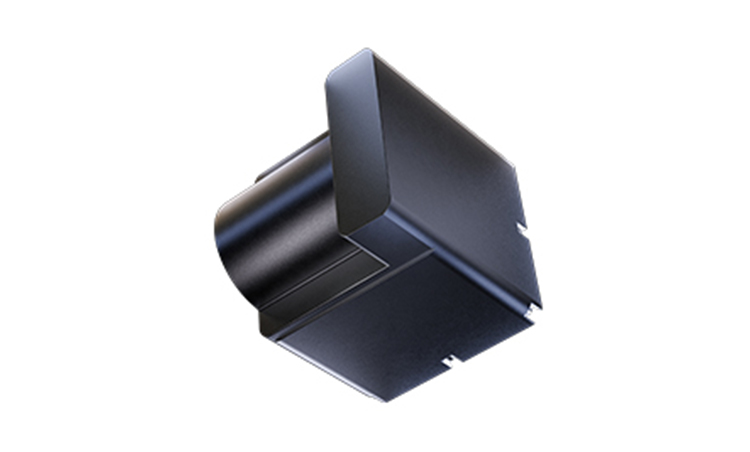
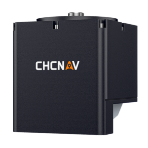
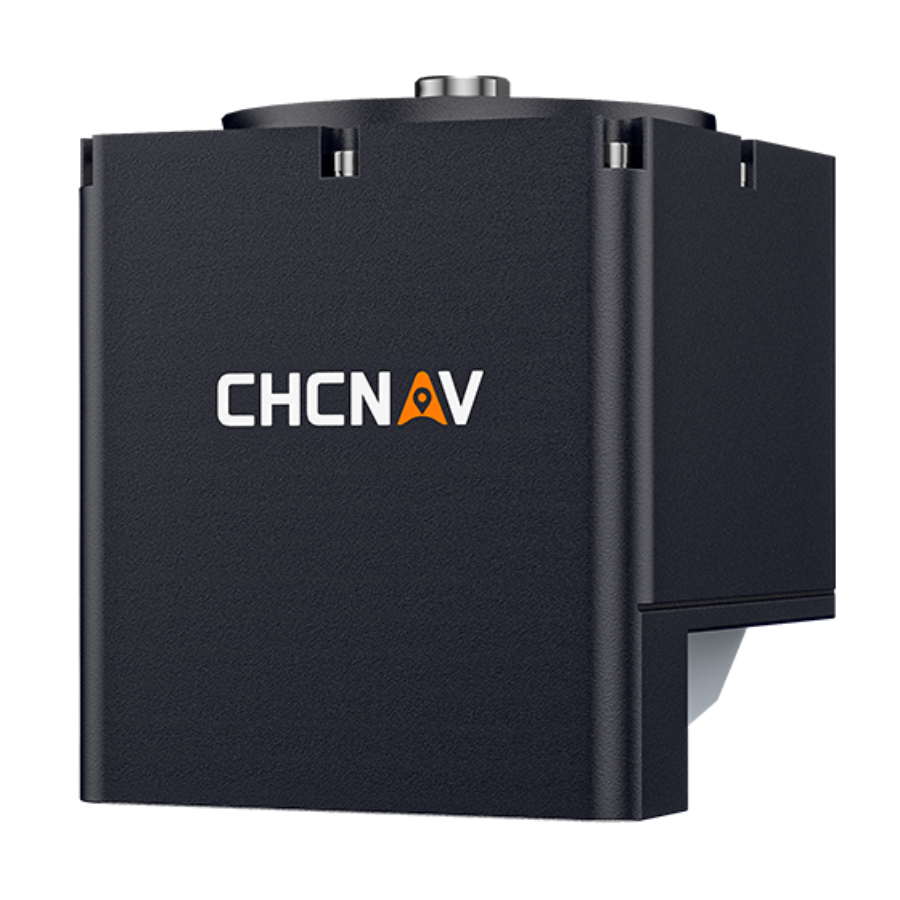
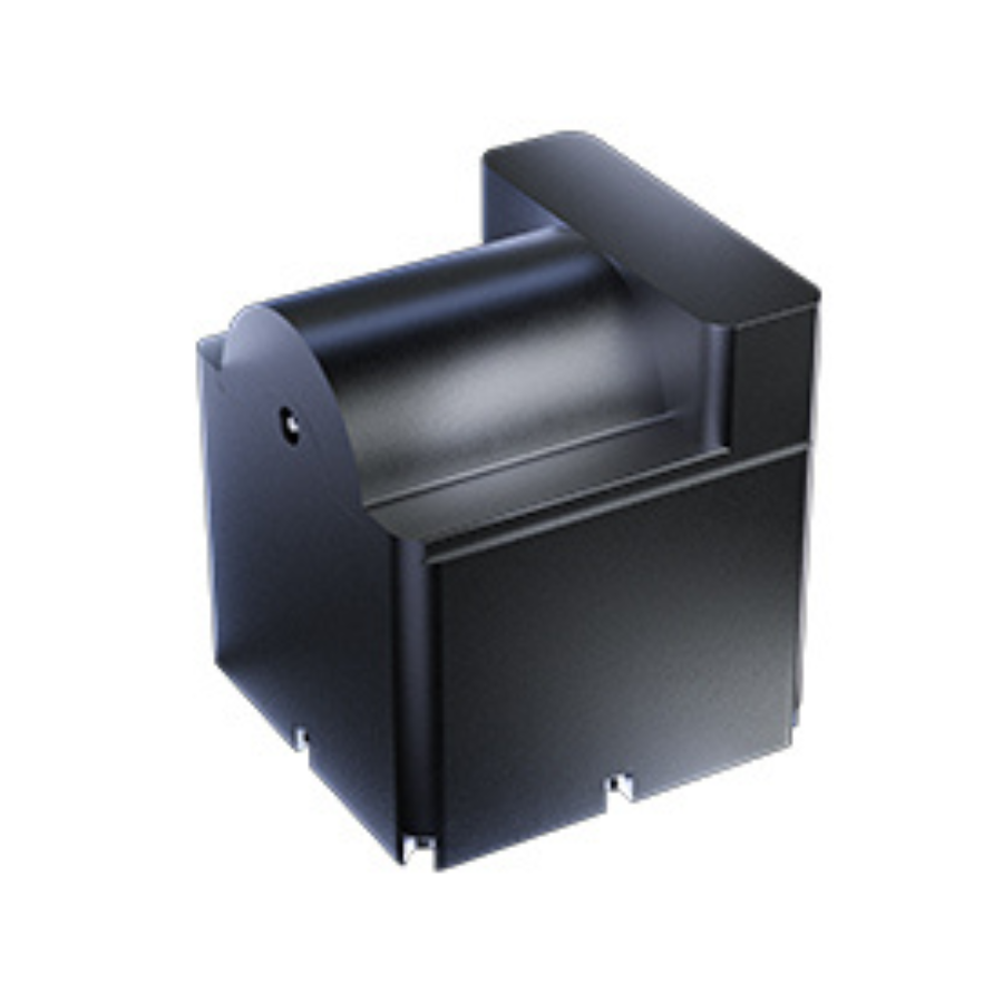
The CHCNAV HQ-400 is a compact, high-performance multibeam echosounder, ideal for bathymetric and hydrographic surveys. Integrated with sonar, temperature sensors, attitude sensors, positioning, and compass, it offers precise, high-resolution underwater mapping. Weighing only 2.7 kg, it’s designed for easy deployment on both manned and unmanned survey platforms. The system ensures rapid setup with a pre-calibrated IMU and supports various survey tasks including port, bathymetric mapping, and dredging operations.
Features
| Feature | Description |
|---|---|
| Weight | 2.7 kg |
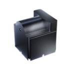
| Dimensions | 12.5 cm cubic |
| Beams | 512 beams (digital 1024) |
| IMU | Pre-calibrated for roll, pitch, yaw |
| Sensors | Sonar, temperature, attitude, compass |
| Software Compatibility | CHCNAV CMS for PC, EasySail for Android |
Precise Underwater Mapping
The HQ-400’s multibeam sonar captures detailed underwater topography, using 512 beams (digital 1024) for high-resolution data. This ensures accurate bathymetric surveys and precise mapping, offering reliable insights into underwater structures and conditions.
Enhanced Accuracy with Integrated Sensors
The HQ-400 features integrated attitude and temperature sensors, which ensure precise depth measurements by compensating for roll, pitch, and yaw. These sensors enhance data quality, delivering reliable and accurate results for hydrographic surveys, making the system highly effective for mapping and analysis.
Effortless Setup and Calibration-Free Operation
The HQ-400 minimizes installation time with its pre-calibrated IMU for roll, pitch, and yaw, ensuring smooth deployment without the need for manual calibration. Its compact, integrated design and versatile mounting options make it easy to install on various platforms, allowing for quick, hassle-free setup and efficient use in the field.
Flexible Survey Capabilities
The HQ-400 offers versatile functionality with features like tilt measurement, real-time roll stabilization, near-field focusing, and water column imaging. These capabilities enable the system to perform a wide range of underwater survey tasks, ensuring precise and comprehensive data collection for various bathymetric and hydrographic applications.
Optimized Software for Efficient Surveys
The CHCNAV HQ-400 is supported by advanced software tools, including CHCNAV CMS for PC and EasySail for Android. These programs offer intelligent filtering, noise point removal, and customizable data display, enhancing survey management and ensuring high-quality results with ease. This software ecosystem optimizes the data processing workflow, allowing users to efficiently manage survey tasks and achieve precise outcomes.
Portable and Compact Design
With a lightweight build of just 2.7 kg and compact dimensions of 12.5 cm cubic, the HQ-400 is easy to transport and deploy. Its small size and portability make it perfect for use on both manned survey boats and smaller unmanned surface vehicles (USVs), enhancing flexibility and making it suitable for a variety of surveying environments. This design ensures the system is efficient and adaptable, especially for projects requiring mobility and ease of setup.
Use Cases
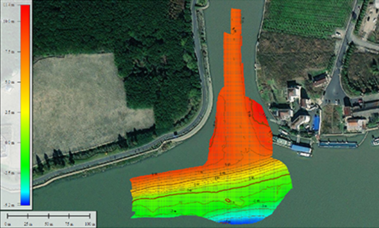
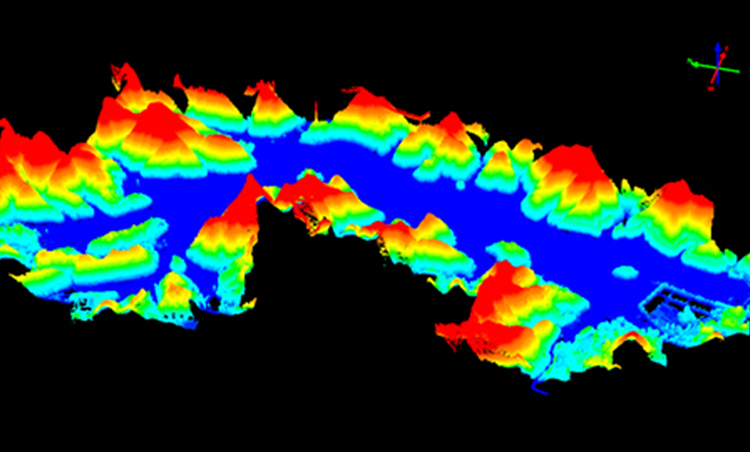
Bridge Structure Inspections
The HQ-400 is ideal for inspecting underwater structures like bridges, providing detailed bathymetric data to assess foundations and submerged components.
Port Surveys
Used in port surveys, the HQ-400 collects accurate data on underwater topography and conditions, supporting navigation and infrastructure planning.
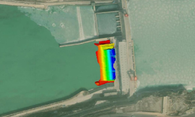
Bathymetric Mapping
The system excels in mapping underwater features, offering precise depth data for various hydrographic applications.
Dredging Operations
In dredging, the HQ-400 aids in monitoring sediment levels and underwater conditions, ensuring safe and efficient operations.
Specifications
| Feature | Specification |
|---|---|
| Echosounder | |
| Type | Multibeam, 400 kHz |
| Range | 0.2 to 150 m |
| Resolution | 1 cm |
| Sensors | |
| Temperature | Yes |
| IMU | Yes |
| GNSS | Yes |
| SVS | Optional |
| Physical | |
| Weight (Sonar) | 2.7 kg |
| Weight (Deck) | 0.5 kg |
| Dimensions (Sonar) | 125×130 mm |
| Dimensions (Deck) | 125x125x42 mm |
















There are no reviews yet.