Description
Introducing the CHCNAV D390
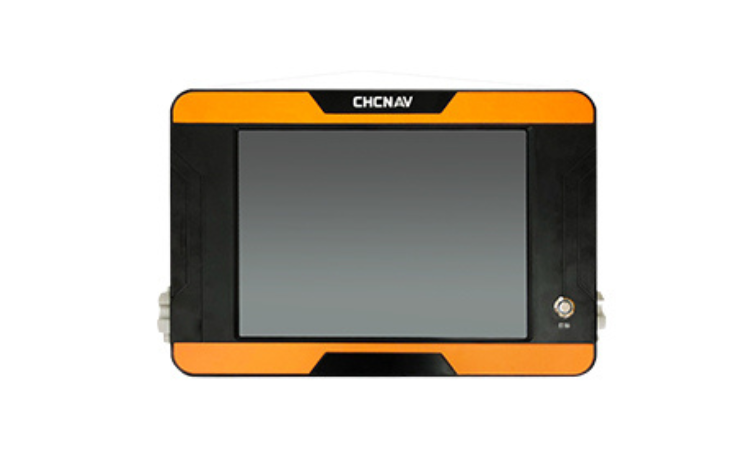
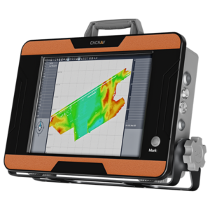
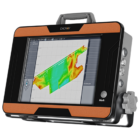
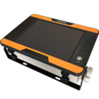
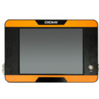
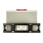
The CHCNAV D390 is an integrated single-beam echosounder designed for precision bathymetric surveys. Featuring a 200 kHz transducer, it offers accurate depth measurements in diverse hydrographic conditions. The system is equipped with a 12-inch HD touchscreen and HydroSurvey software for efficient data management. Its portability and advanced connectivity make it ideal for a variety of marine surveying tasks such as riverbed mapping and hydrographic surveys. The D390 is built for reliability in deep and shallow waters, providing high performance and versatility.
Features
| Feature | Description |
|---|---|
| Echosounder Type | Single beam, 200 kHz |
| Range | 0.15 to 300 m |
| Resolution | ±0.01 m + 0.1% x D |
| Weight | 4.7 kg |
| Dimensions | 365 x 258 x 95 mm |
| Display | 12-inch HD touchscreen |
| Software | HydroSurvey Software (for data management) |
| Connectivity | Standard serial interfaces, GNSS receiver compatibility |
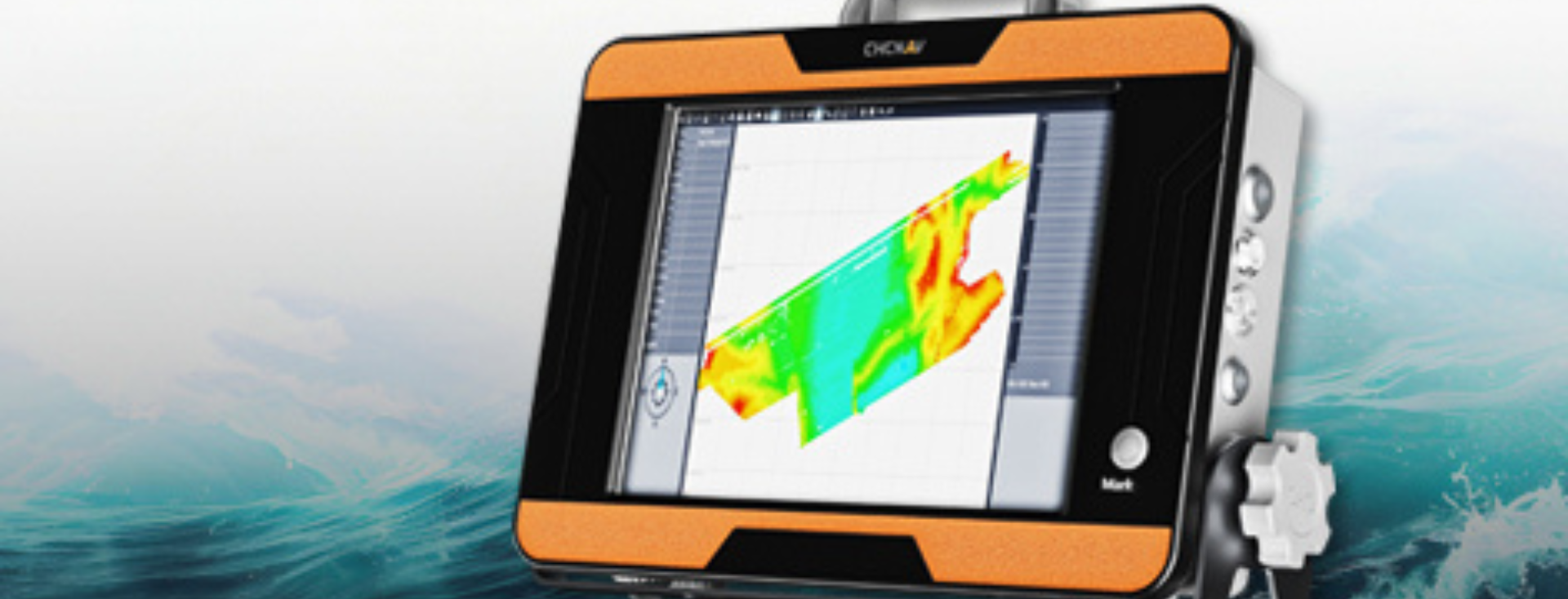
Exceptional Depth Accuracy
The D390’s advanced 200 kHz transducer ensures precise depth measurements in various water environments. This high-performance system delivers reliable data, making it well-suited for a wide range of hydrographic surveys, including river, reservoir, and coastal applications.
Extended Depth Measurement
The D390 offers an impressive depth measurement capability of up to 300 meters, ensuring precision in a variety of bathymetric applications. This extended range makes it highly versatile for different survey types, delivering reliable results across diverse conditions such as river, reservoir, and coastal environments.
Streamlined Data Processing
The D390 simplifies project management with its advanced HydroSurvey software. It enables smooth workflow by supporting tasks such as positioning, navigation, data acquisition, and export, enhancing efficiency and ensuring comprehensive data handling throughout the survey process.
Seamless Connectivity Integration
The D390 enhances survey performance with built-in support for serial interfaces, motion sensors, and GNSS differential receivers. It ensures precise positioning and is compatible with various GNSS systems, offering reliable data integration for more accurate and efficient survey results.
Use Cases
Bathymetric Mapping
The D390 excels in creating detailed underwater topographic maps by providing accurate depth measurements, supporting environmental studies and resource management.

Hydrographic Surveys
It is perfect for hydrographic surveys, helping to map water bodies, assess submerged structures, and support navigation projects.
Riverbed Mapping
The D390 helps survey and map riverbed contours, facilitating flood risk analysis, sediment studies, and river management efforts.

Specifications
| Feature | Description |
|---|---|
| Echosounder Type | Single beam, 200 kHz |
| Range | 0.15 to 200 m |
| Resolution | ±0.01 m + 0.1% x D |
| Weight | 4.7 kg |
| Dimensions | 365 x 258 x 95 mm |














There are no reviews yet.