Description
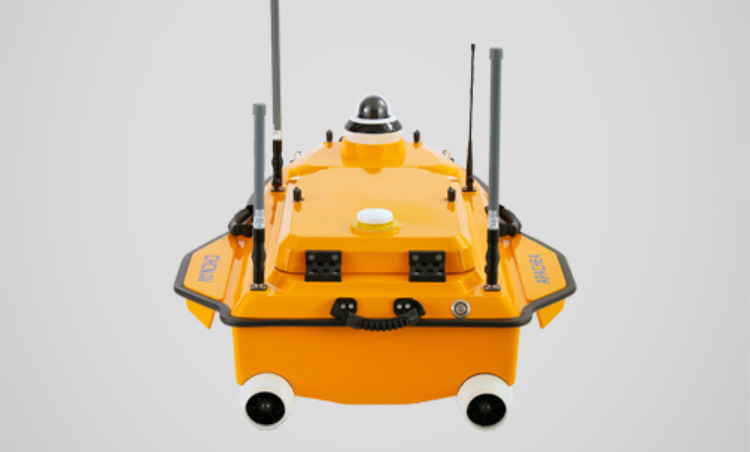
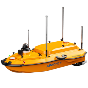
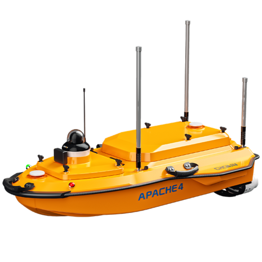
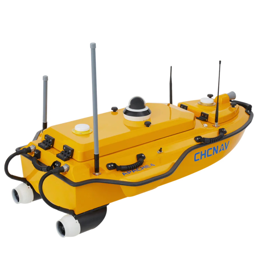
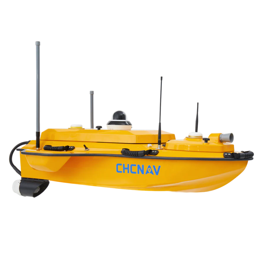
Introducing the CHCNAV Apache 4
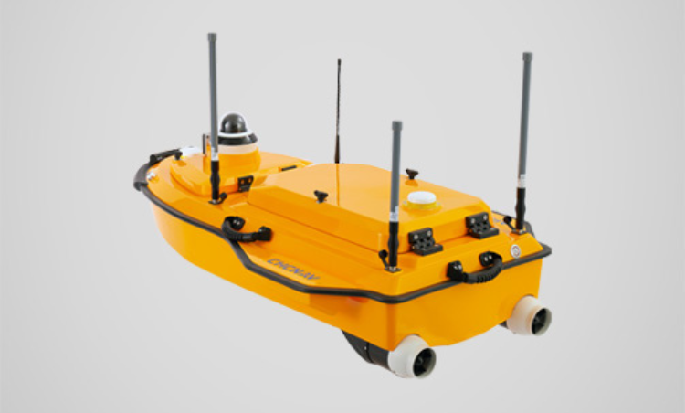
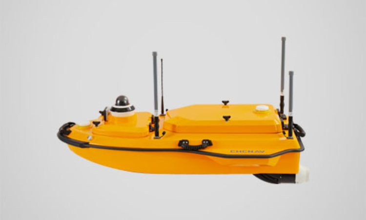
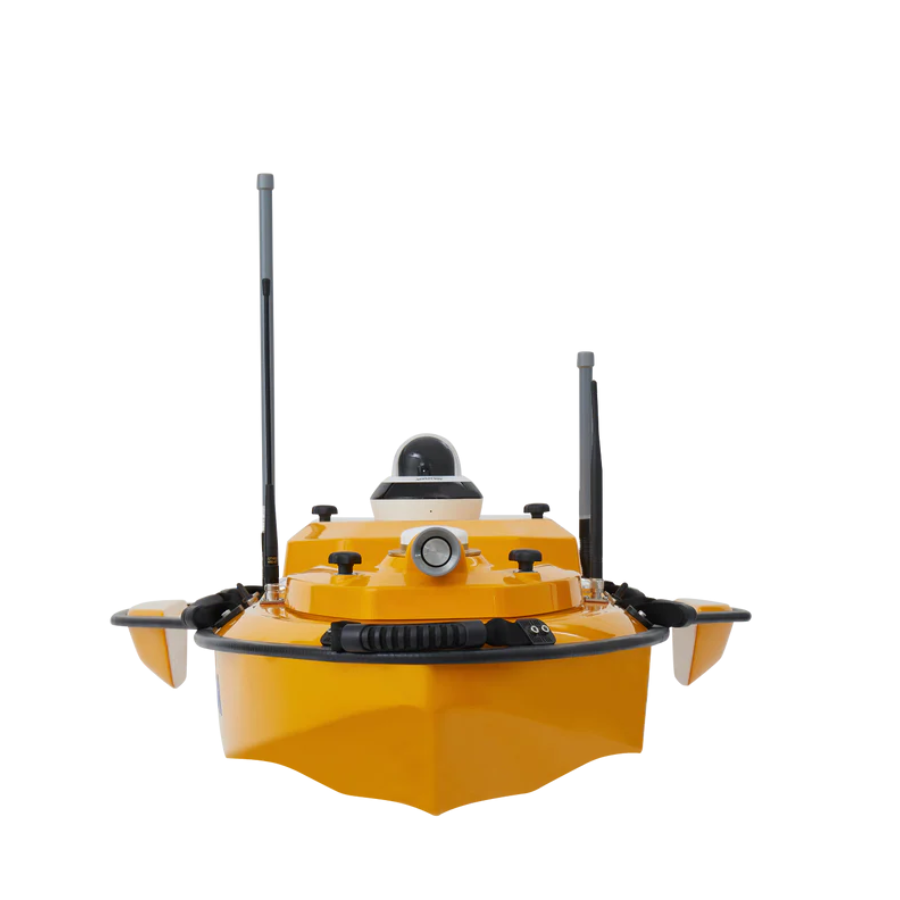
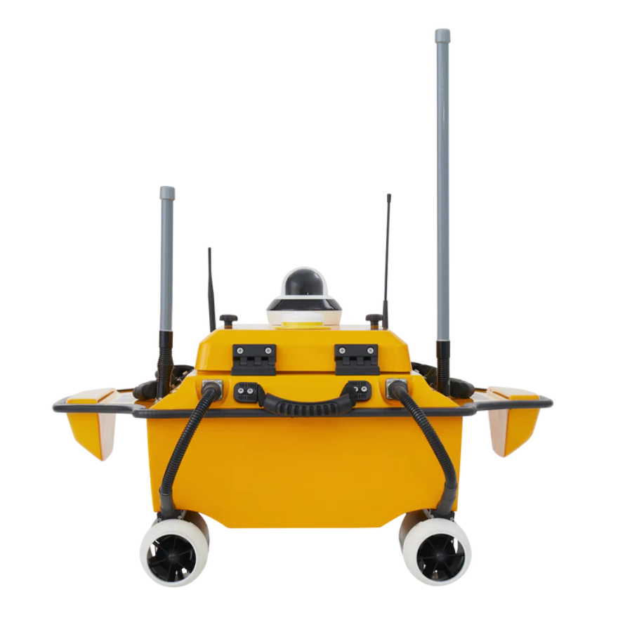
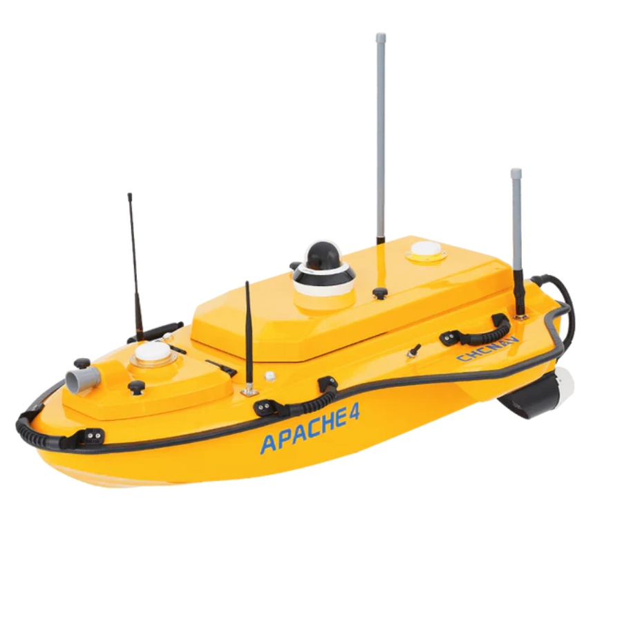
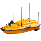
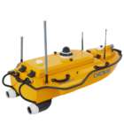
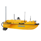
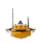
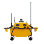
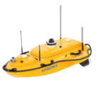
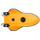
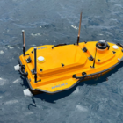
The CHCNAV Apache 4 is a high-performance Unmanned Surface Vehicle (USV) engineered for precise hydrographic and bathymetric surveys. It integrates advanced navigation technology, ensuring accuracy in measuring water flow velocity and discharge. The lightweight design makes it portable and easy to deploy, even in remote locations. The built-in GNSS+IMU system provides seamless positioning, overcoming challenges in harsh environments. Compatible with leading ADCPs, it caters to diverse surveying needs. The Apache 4’s single-beam echo sounder ensures reliable depth measurements. It offers adaptive water flow control for straight-line tracking and hovering capabilities. Designed for efficiency, it delivers optimal results for hydrologists and surveyors. With an impressive payload capacity, it supports extensive instrumentation. The Apache 4 combines precision, reliability, and versatility, redefining modern survey standards.
Features
| Feature | Description |
|---|---|
| Advanced Navigation Controller | Adaptive water flow straight-line tracking and hovering for precise navigation |
| ADCP Compatibility | Supports industry-standard ADCPs like M9, RiverPro, and RiverRay |
| Built-in Echo Sounder | Single-beam echo sounder for accurate depth measurements |
| Smart Positioning | Integrated GNSS+IMU for uninterrupted positioning and navigation |
| Lightweight Design | Weighs 9 kg (excluding instruments and battery) for ease of transport |
Efficient Hydrographic Surveying
Achieve precise flow and velocity assessments with reliable GNSS positioning and advanced automated navigation. Perfect for hydrologists performing ADCP-based cross-section flow surveys.
Precision Under Bridges
Ensure precise results under bridges with the Apache 4’s integrated GNSS and IMU sensors. It delivers reliable position and attitude data, compensates for hull sway, and eliminates data inconsistencies during GNSS disruptions.
Broad Instrumentation Compatibility
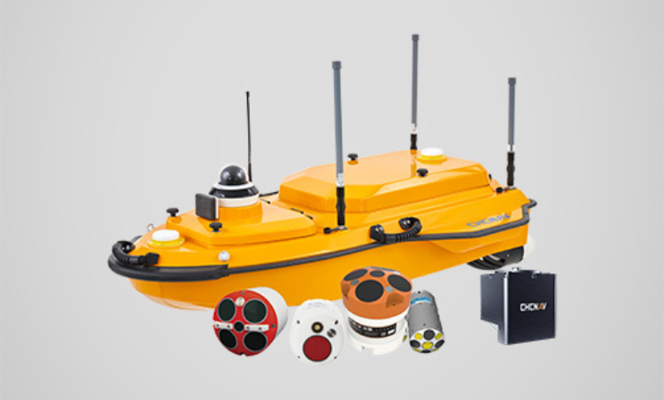
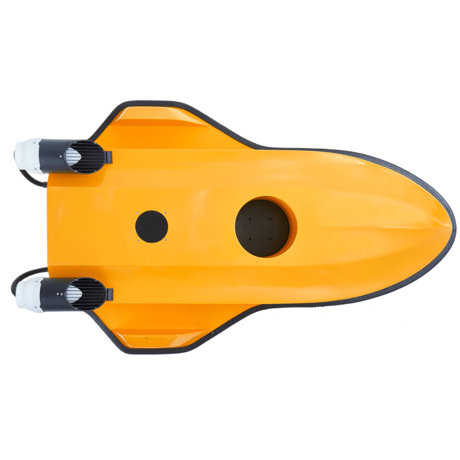
The APACHE 4’s central access shaft design supports ADCPs like the CHCNAV RS Series, M9, RTDP 1200, RiverPro, and RiverRay. It also integrates seamlessly with the CHCNAV HQ compact multibeam echosounder, side-scan sonar, and water quality probes for comprehensive survey solutions.
Integrated Single-Beam Echosounder
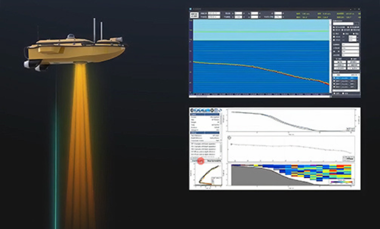
Verify ADCP bottom-tracking data using the built-in single-beam echosounder. It provides water depth profiles in conjunction with flow velocity measurements, significantly extending the ADCP’s sounding range.
Enhanced Navigation Control
Achieve precise cross-section navigation with adaptive water flow technology. The hovering capability ensures stability at observation points, delivering accurate flow estimates even in challenging conditions.
Use Cases
- Flood Risk Assessment
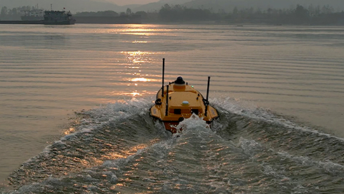
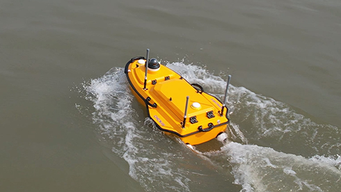
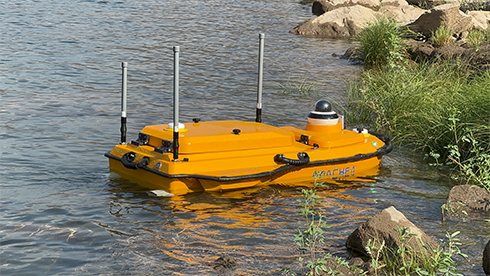
The Apache 4 enables precise mapping of riverbeds and floodplains, providing critical data for flood risk analysis. Its high navigational accuracy and stable hovering capabilities allow for detailed surveys in areas prone to flooding, aiding in the development of effective flood management strategies. - Sediment Transport Studies
Equipped with advanced sensors, the Apache 4 facilitates the monitoring of sediment movement in water bodies. This data is essential for understanding sediment deposition and erosion patterns, which impact aquatic habitats and human infrastructure. - Port Current Analysis
The Apache 4’s compatibility with Acoustic Doppler Current Profilers (ADCPs) allows for accurate measurement of water currents in port areas. This information is vital for navigation safety, port operations, and the planning of maritime activities. - River Discharge Measurement
The USV is ideal for measuring river discharge, providing hydrologists with accurate flow velocity and volume data. Its adaptive water flow technology ensures precise navigation along cross-sections, even in turbulent conditions, enhancing the reliability of discharge measurements.
Specifications
| Category | Specification |
|---|---|
| Performance | |
| Speed max | 6 m/s |
| Payload capacity | Up to 35 kg |
| Draft | 12 cm |
| Positioning | Full GNSS + IMU |
| Echosounder | |
| Type | Single beam, 200 kHz |
| Range | 0.15 to 200 m |
| ADCP | |
| Type | CHCNAV RS600/1200 |
| Transducer | 5 beams |
| Accuracy | ±0.25% ±2 mm/s |
| Sensors | |
| Camera | 360° video |















There are no reviews yet.