Description
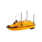
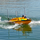
Introducing the CHCNAV Apache 3 Pro
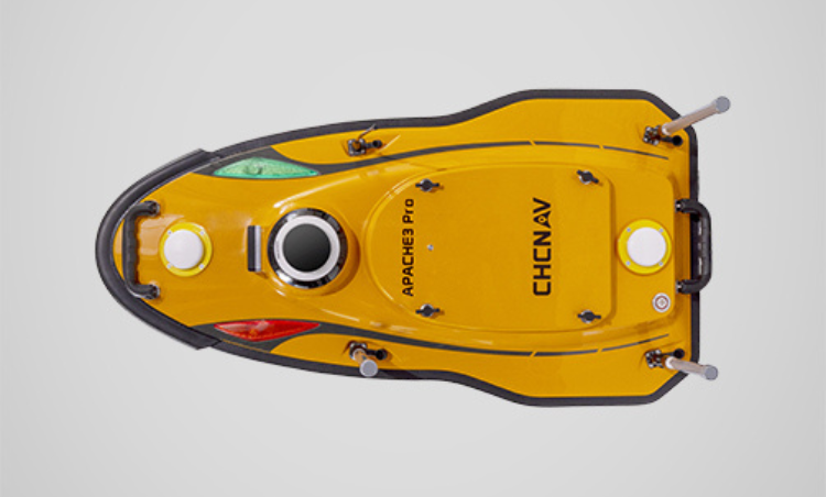
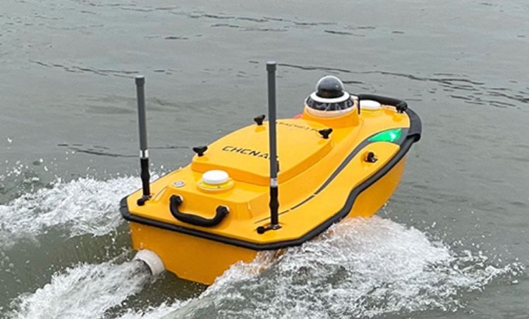
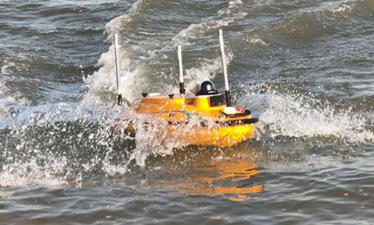
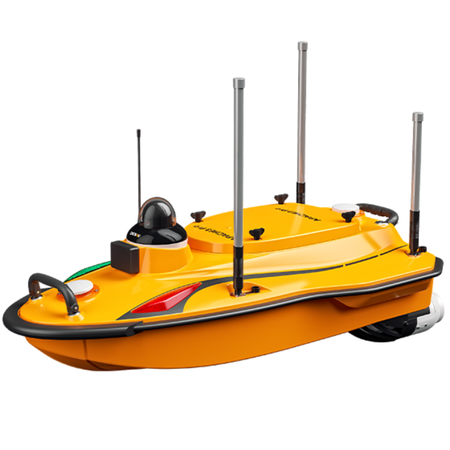
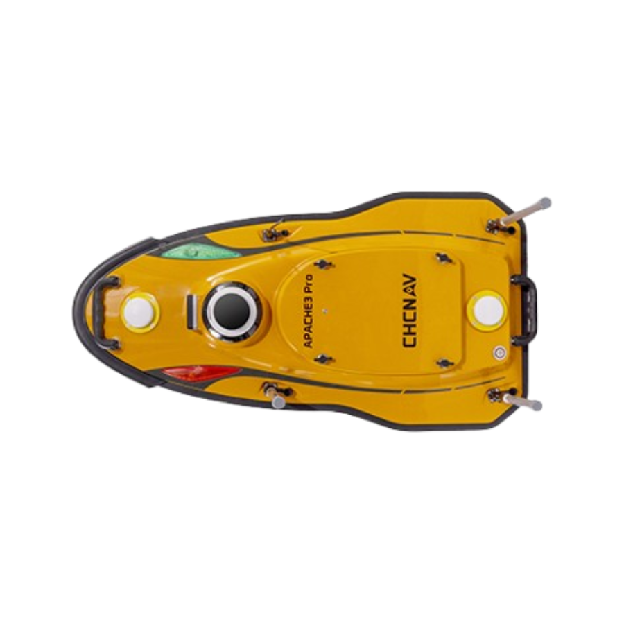
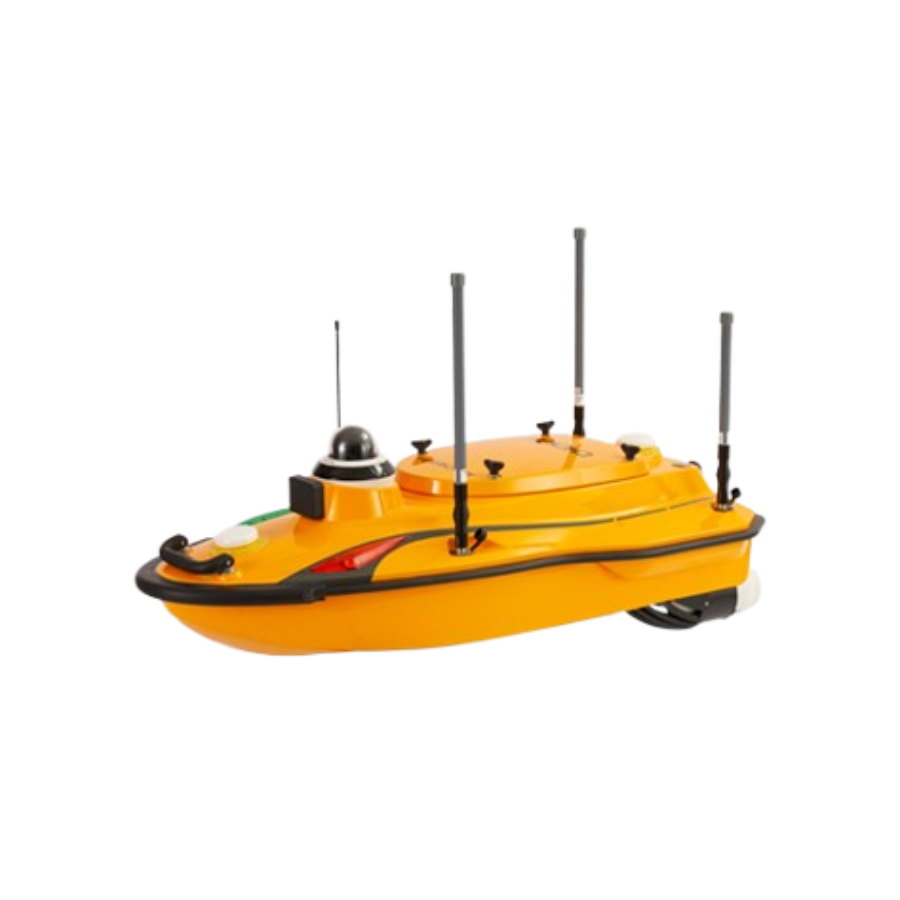
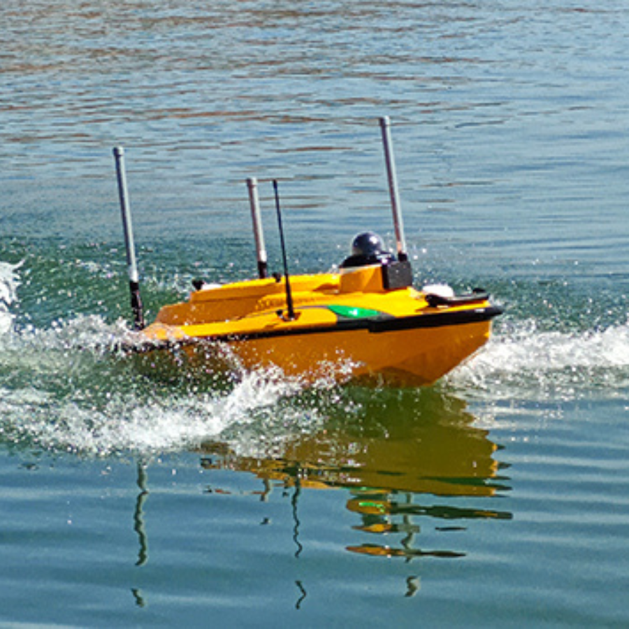
The CHCNAV Apache 3 Pro is a high-performance unmanned surface vehicle (USV) engineered for autonomous bathymetric surveys in shallow waters. Its lightweight design, featuring a double-layer carbon fiber hull, ensures durability and ease of deployment by a single operator. Equipped with a GNSS RTK and Inertial Navigation System, it maintains precise positioning even in challenging environments where GNSS signals may be temporarily unavailable. The integrated D270 echosounder provides accurate depth measurements, enhancing the quality of hydrographic data collected. Additionally, the Apache 3 Pro includes a millimeter-wave radar system for obstacle detection and avoidance, ensuring safe and efficient operations. Its smart power management system supports hot-swappable batteries, allowing for continuous, uninterrupted surveys. The user-friendly Android-based control interface facilitates seamless route planning, data acquisition, and real-time parameter display, optimizing field operations.
Features
| Feature | Description |
|---|---|
| Lightweight Design | Weighs approximately 10 kg with a double-layer carbon fiber hull, allowing single-operator deployment. |
| GNSS RTK + INS | Provides high-precision positioning and maintains accuracy even during temporary GNSS signal interruptions. |
| D270 Echosounder | Integrated echosounder offering accurate depth measurements for precise bathymetric data collection. |
| Obstacle Avoidance System | Equipped with a millimeter-wave radar system that detects obstacles within a 110° field of view and autonomously navigates around them. |
| Smart Power Management | Features hot-swappable batteries and balanced power supply for extended, uninterrupted survey operations. |
High-Precision Navigation
Ensure accurate surveys with the integrated GNSS RTK and Inertial Navigation System. The Apache 3 Pro maintains precise positioning even during GNSS signal disruptions, including under bridges.
Advanced Echosounder
Obtain exceptional depth measurement accuracy with the D270 echosounder. The integrated water temperature sensor allows real-time sound velocity correction, ensuring consistent and reliable bathymetric data.
Intelligent Power Management
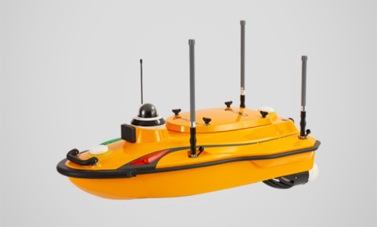
The balanced power supply allows for hot-swapping of batteries while keeping the instrument powered on, ensuring uninterrupted operation. If a task is interrupted, the mission can resume from the exact point of disruption.
Seamless Communication
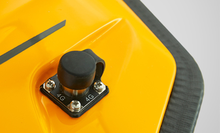
Achieve reliable data transmission with a combination of 4G network and 2.4 GHz remote control communication. Effortlessly switch between SIM and remote control data transmission for enhanced operational efficiency.
Efficient Motor Design
The semi-recessed motor design enhances protection and reduces the risk of damage, allowing navigation through various water depths. Its efficiency improves both speed and service life, ensuring long-term reliability.
Use Cases
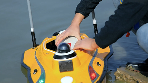
Bathymetric Surveys
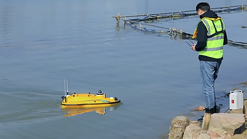
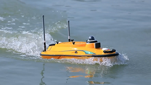
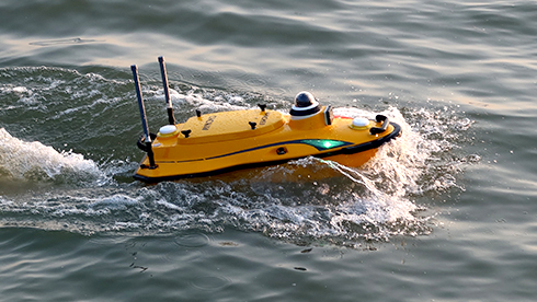
Bathymetric surveys involve mapping the underwater topography of water bodies, such as lakes, rivers, and oceans. This process provides precise depth measurements and helps in the creation of detailed underwater maps, essential for navigation, environmental monitoring, and resource management. The Apache 3 Pro’s advanced echosounder and GNSS RTK positioning make it ideal for accurately capturing depth data in shallow waters, even in challenging conditions like fast currents or GNSS signal interruptions.
Reservoir Volume Estimation
Reservoir volume estimation is the process of determining the capacity of a water reservoir, which is critical for water resource management, flood control, and hydropower operations. By performing bathymetric surveys of reservoirs, the Apache 3 Pro can collect data on water depth and underwater topography, allowing for the calculation of the total water volume. The precise depth measurements provided by the integrated echosounder ensure accurate volume estimation, supporting effective management and maintenance of reservoir systems.
Specifications
| Category | Specification |
|---|---|
| Performances | |
| Max Speed | 6 m/s |
| Payload Capacity | 30 kg max |
| Draft | 9 cm |
| Positioning | Full GNSS + IMU |
| Echosounder | |
| Type | Single beam, 200 kHz |
| Range | 0.15 to 200 m |
| Resolution | ±0.01 m + 0.1% x D |
| Sensors | |
| Camera | 360° video |














There are no reviews yet.