Description
Introducing the CHCNAV Apache 3
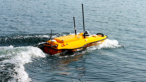
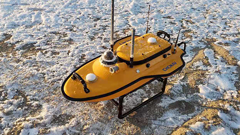
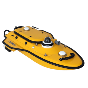
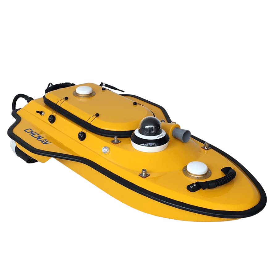
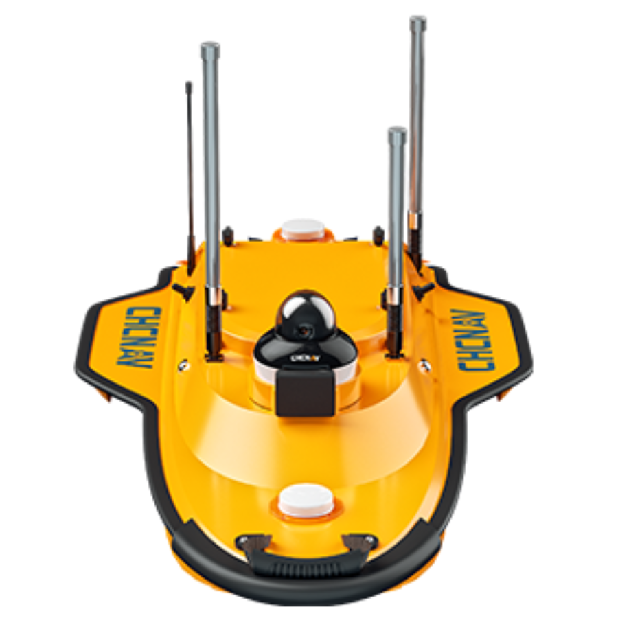
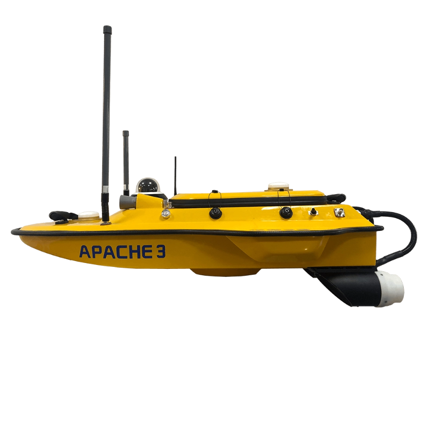
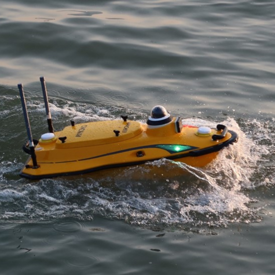
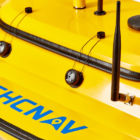
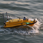
The CHCNAV Apache 3 is a lightweight, cost-effective unmanned surface vessel (USV) designed for shallow-draft marine surveying. It offers a powerful single-beam echosounder, ideal for bathymetric surveys in lakes, rivers, and coastal areas. With autonomous operation, dual GNSS positioning, and 4G communication, the Apache 3 provides high-accuracy data collection, even in challenging environments. Weighing only 7 kg, it is easy to transport and operate, making it perfect for a one-person operation.
Features
| Feature | Description |
|---|---|
| Weight | 7 kg |
| Length | 1 meter |
| Positioning | Dual GNSS for accurate surveys |
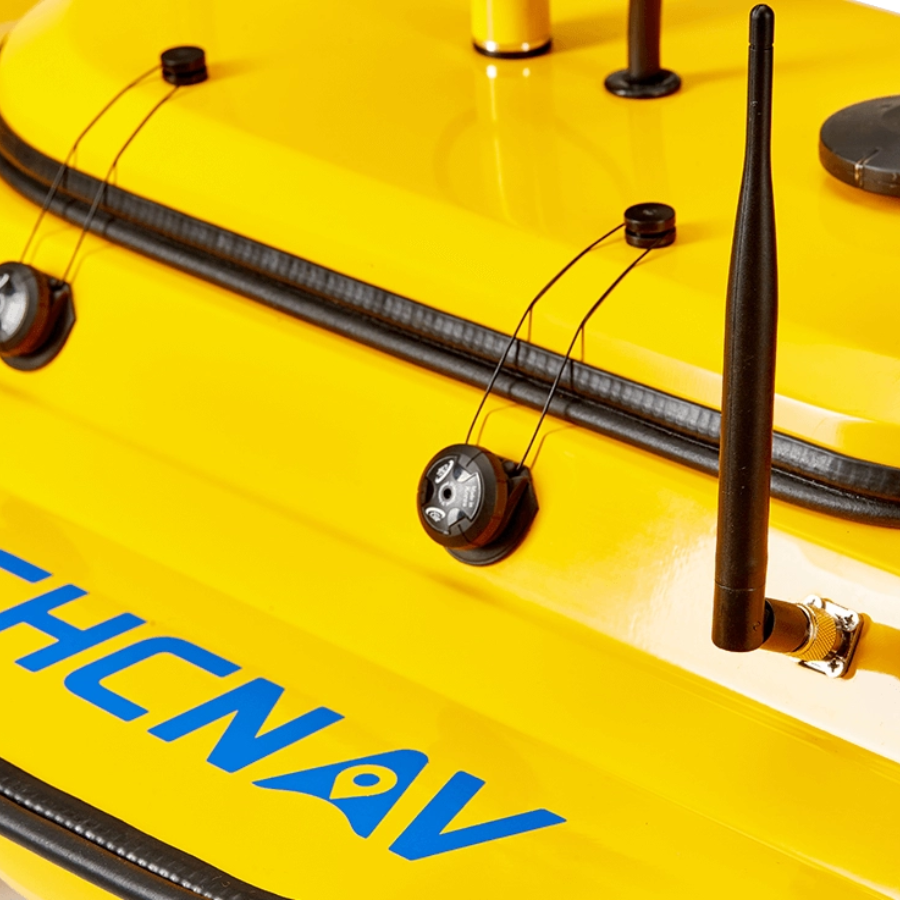
| Communication | 4G for reliable data, video, and corrections |
| Autonomy | Fully autonomous operation with pre-determined courses |
High-Performance Compact Vessel
Fully Autonomous Navigation
Follow pre-set routes seamlessly with precise linear technology and dual GNSS positioning. The Apache 3 ensures a perfectly straight sailing path, even in challenging current conditions.
Precision Under Bridges
Achieve exceptional accuracy under bridges with advanced GNSS and IMU integration. The Apache 3 delivers precise position and attitude data, compensating for hull movement and eliminating errors during GNSS signal interruptions.
Single-Operator Efficiency
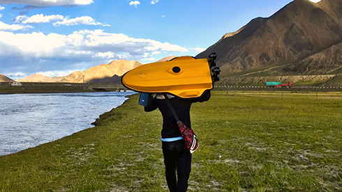
Weighing only 7 kg, the Apache 3 is designed for effortless transport and deployment by a single operator. From setup to mission execution, it streamlines operations, enhancing overall efficiency.
Durable and Robust Build
Crafted with macromolecule polyester carbon fiber and Kevlar fiberglass, the Apache 3 offers exceptional durability. Its sealed straw cover and titanium alloy mesh guarantee reliable performance in demanding conditions.
Use Cases
- Bathymetric Surveys: The Apache 3 excels in conducting bathymetric surveys, which involve mapping underwater topography to determine water depth and the shape of submerged terrain. Its high-resolution single-beam echosounder provides depth measurements with a range of 0.15 to 200 meters and a resolution of ±0.01 m + 0.1% x D, ensuring precise data collection for applications such as nautical charting, dredging operations, and habitat mapping.
- Navigation Channel Surveys: Maintaining safe and navigable waterways requires regular monitoring of channel conditions. The Apache 3’s shallow draft of 10 cm allows it to operate in confined and shallow channels, collecting data to assess sediment accumulation, identify potential hazards, and ensure compliance with navigational safety standards. Its autonomous operation and precise positioning capabilities enable efficient surveying of navigation channels.
- Riverbed Mapping: Understanding riverbed morphology is essential for flood management, ecological studies, and infrastructure development. The Apache 3’s compact design and high-performance capabilities make it suitable for mapping riverbeds, capturing detailed information on sediment types, underwater features, and depth variations. This data supports environmental assessments, engineering projects, and the management of aquatic habitats.
Specifications
| Category | Specification |
|---|---|
| Performance | |
| Speed Max | 6 m/s |
| Payload Capacity | 25 kg max |
| Draft | 10 cm |
| Positioning | Full GNSS + IMU |
| Echosounder | |
| Type | Single beam, 200 kHz |
| Range | 0.15 to 200 m |
| Resolution | ±0.01 m + 0.1% x D |
| Sensors | |
| Camera | 360° video |















There are no reviews yet.