Description
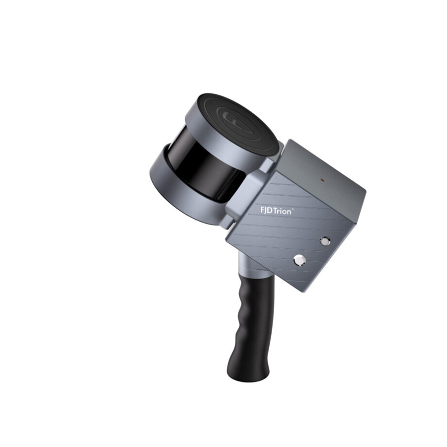
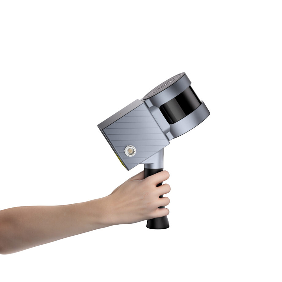
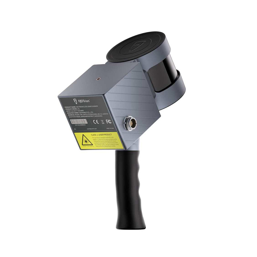
Introduction to the FJD Trion™ S1 3D Lidar Scanner
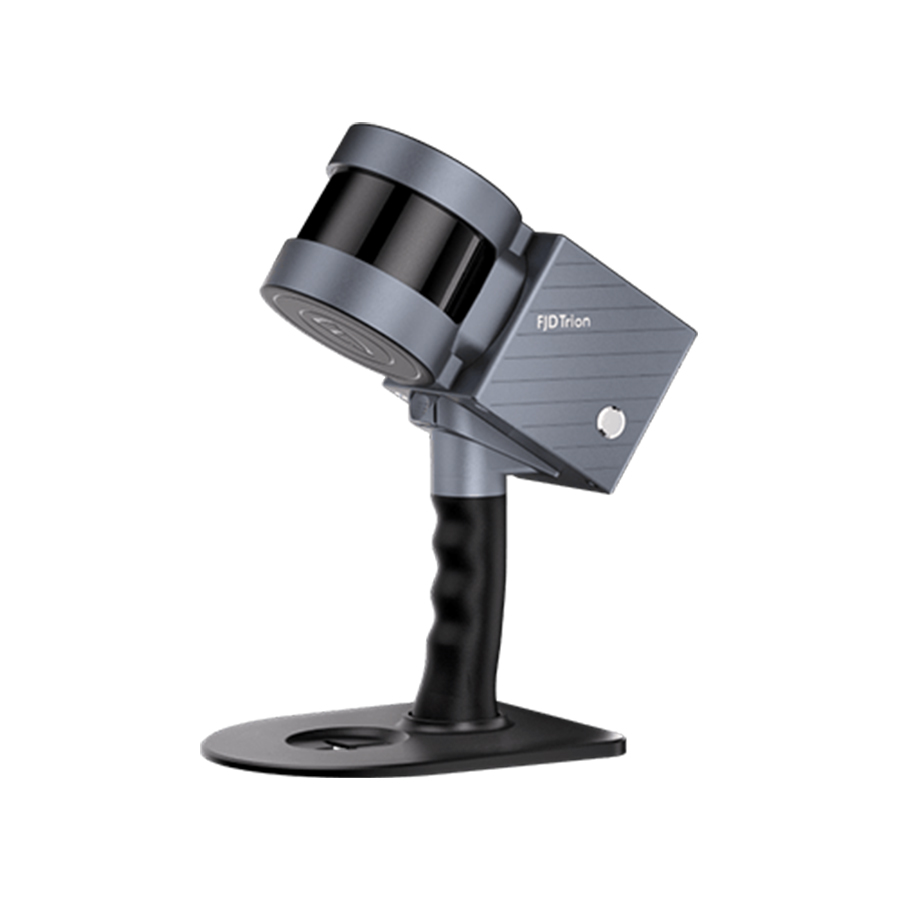
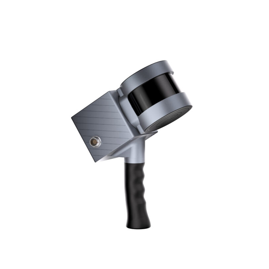
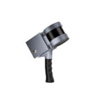
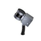
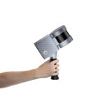
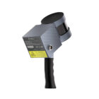
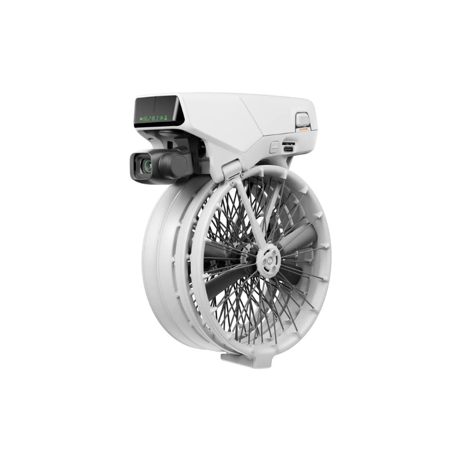
The FJD Trion S1 3D LiDAR Scanner is an innovative scanning solution for accurate and efficient 3D data collection. Its robust design and advanced technology make it suitable for various industries like construction, surveying, and urban planning. Designed for portability and reliability, it ensures high-speed, precise measurements even in challenging environments. With intuitive software compatibility and easy operation, this scanner simplifies complex workflows while maintaining exceptional accuracy. Ideal for topographic surveys, infrastructure planning, and 3D modeling, the Trion S1 is a trusted tool for professionals.
Features
| Feature | Description |
|---|---|
| Scanning Range | Captures detailed data over a wide range effectively. |
| Accuracy | Delivers highly accurate 3D mapping and modeling. |
| Speed | Enables rapid data collection to save time. |
| Portability | Compact, lightweight, and easy to carry. |
| Durability | Built to perform in rugged environments. |

Revolutionize the Way You Scan
Powered by advanced SLAM technology, the S1 creates a digital representation of your environment as you move. Effortlessly capture indoor and outdoor spaces on the go while viewing real-time point clouds on your mobile device. Watch your surroundings transform into detailed 3D models with each step, ensuring no detail is overlooked.
Advanced Option
Upgrade your scanning experience with the FJD Trion S1 Pro, a superior version of the S1. Retaining the lightweight and portable design, the S1 Pro enhances performance with advanced hardware, offering improved accuracy and efficiency for even more precise results.
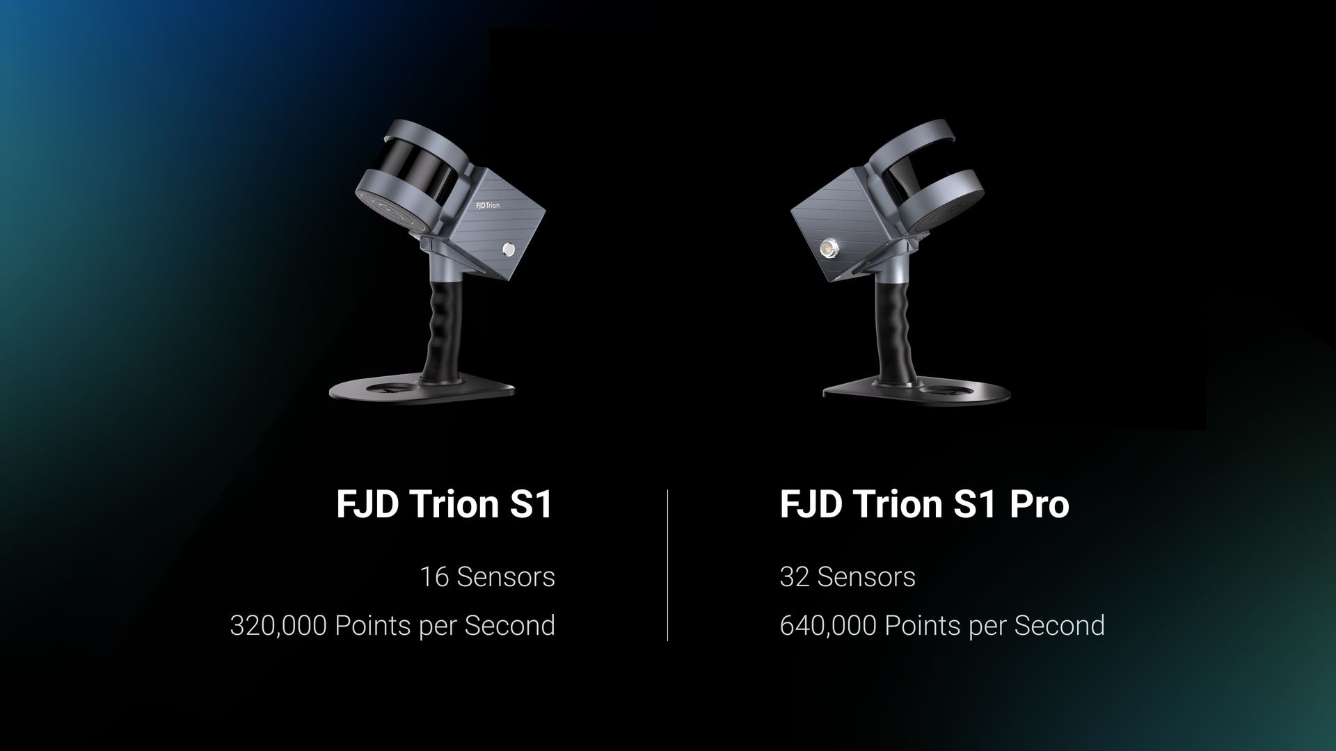
Ready, Set, Scan
Reliable Accuracy
Scan a 100 m² (1,000 sq ft) area in just 2 minutes with an impressive relative accuracy of 2 cm when using post-processed reconstruction models.
*Performance tested under controlled conditions.
Long-Range Measurement
Equipped with built-in LiDAR 3D scanning technology, the S1 captures detailed measurements of complex shapes and objects across various dimensions, enabling the creation of precise 3D models in a single scan.
Complete Point Cloud Solution
FJD Trion Scan
Real-time Point Cloud Visualization Software
The FJD Trion Scan software enhances your scanning process with real-time point cloud visualization. It helps monitor and verify data during scanning, ensuring a complete and accurate capture in one go. The accompanying mobile app connects to the scanner, manages project files, and allows firmware updates for a seamless experience.
FJD Trion Model
PC-Based Point Cloud Processing Software
The FJD Trion Model software specializes in processing point cloud data. It offers features like denoising, colorization, and classification, along with industry-specific modules for tasks like floor plan generation, tunnel volume calculations, and forestry tree segmentation, ensuring fast and accurate results tailored to your needs.
Dual Battery for Uninterrupted Scanning
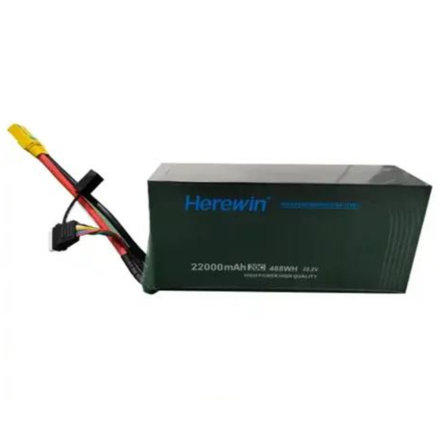
The S1 is equipped with hot-swappable dual batteries, allowing for seamless power transitions during use. Enjoy up to 4 hours of continuous operation with both batteries, ensuring non-stop scanning missions.
Explore Versatile Configurations
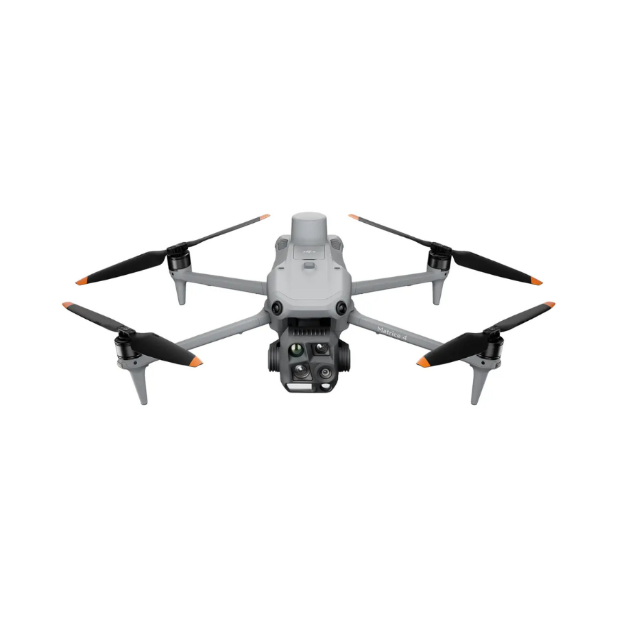
The FJD Trion S1 adapts to diverse environments—indoors, outdoors, underground, and even aerial applications with drones—thanks to its lightweight and portable design.
Handheld
Drone
Backpack
Car & Ship
Accessories to Expand Your Capabilities
Panoramic Camera
An optional add-on that captures RGB and texture data, enriching your point clouds and mesh with vivid realism for more lifelike 3D models.
Backpack
Pair with the FJD Trion V1t RTK Rover to create geo-referenced point clouds with centimeter-level accuracy. Ideal for outdoor mobile scanning, this setup removes the need for external control points.
FJD Trion Car Mount
Combine the car mount with RTK for superior data collection and precise geo-referenced point clouds, achieving centimeter-level accuracy during mobile scanning projects.
FJD Trion Extension Pole
Attach your laser scanner to the extension pole to map hard-to-reach areas such as ceiling voids, infrastructure inspections, volume checks, and stockpile analysis.
Application Scenarios
Designed for versatility, the S1 excels in both indoor and outdoor scanning, making it ideal for a broad range of applications.















There are no reviews yet.