Description
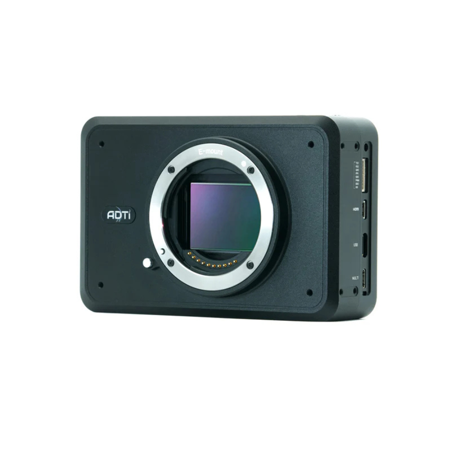
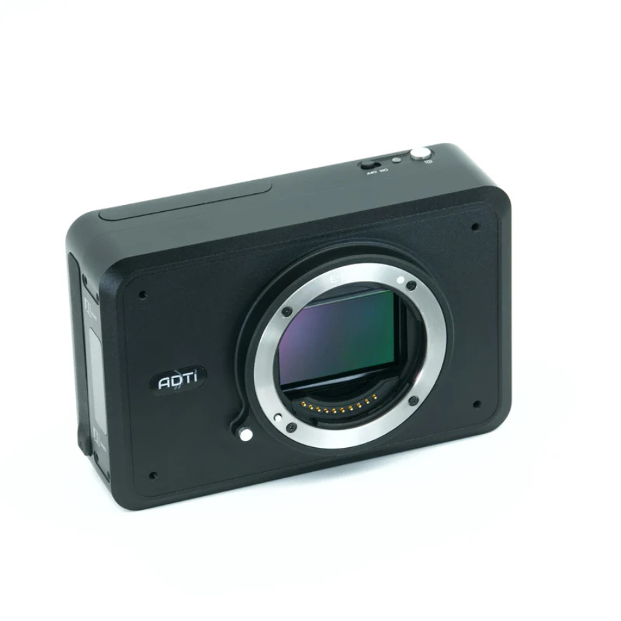
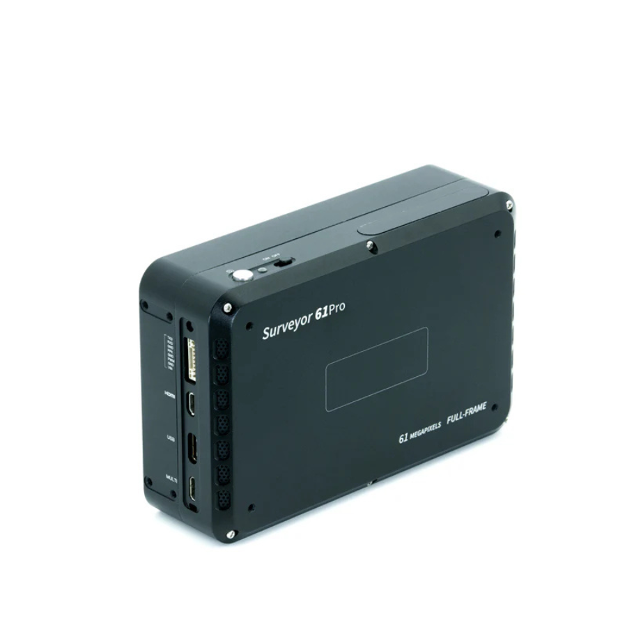
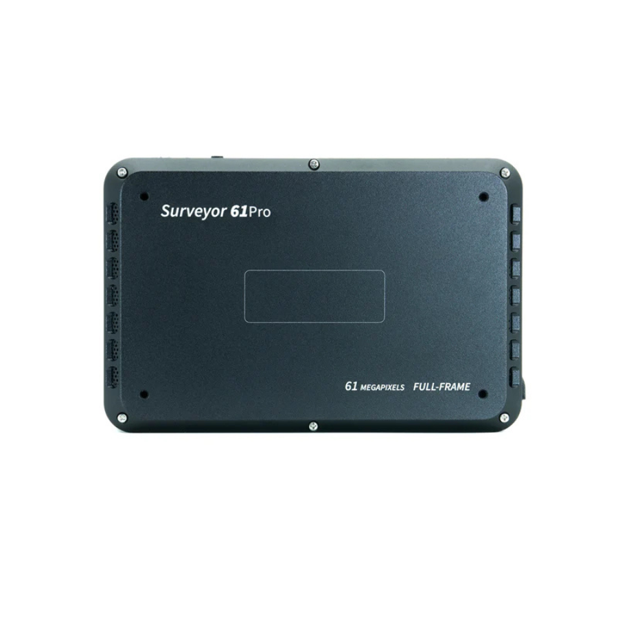
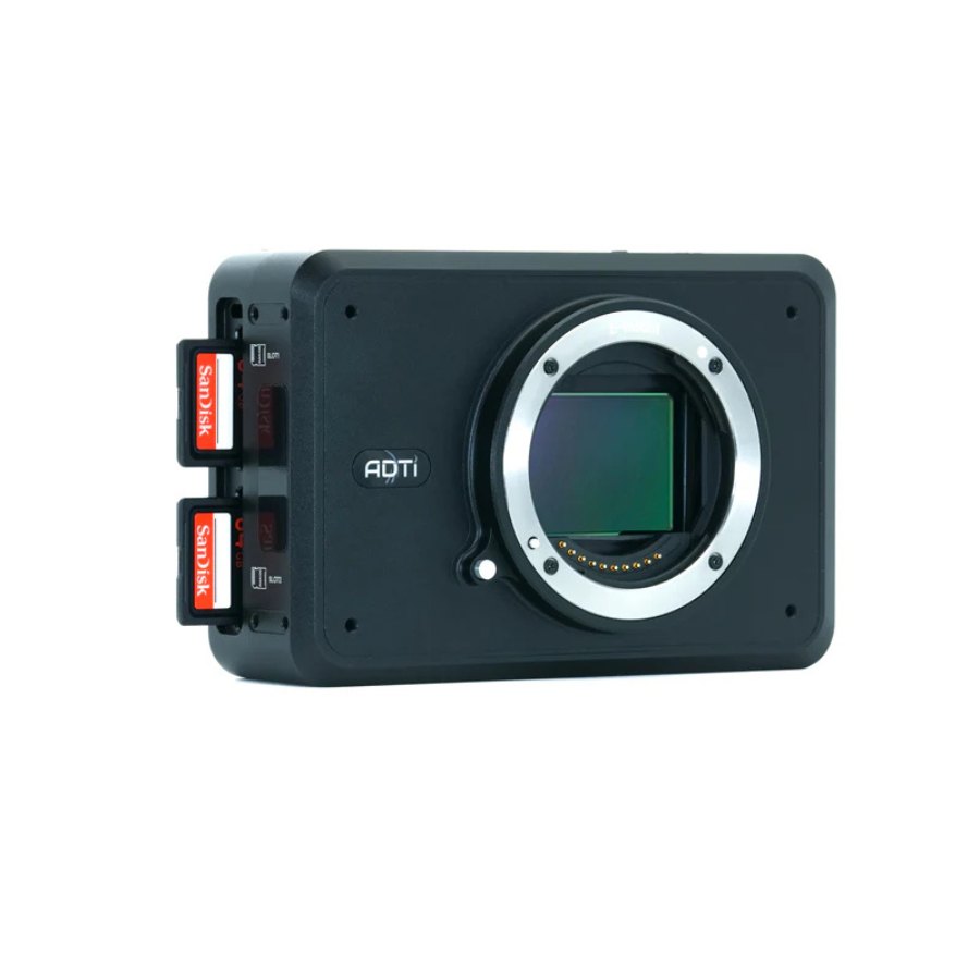
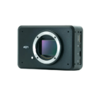
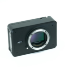
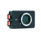
Introducing ADTi 61MP 61PRO Surveyor Drone Mapping Camera
The ADTi 61MP 61PRO is a cutting-edge drone mapping camera designed for professionals seeking ultra-high-resolution imagery for detailed survey and mapping applications. Equipped with a 61MP full-frame sensor, this camera delivers exceptional image clarity and precision. Its seamless integration with various drone platforms, lightweight design, and advanced functionalities make it ideal for industries like construction, agriculture, and urban planning. Perfect for large-scale mapping, it supports faster workflows with unparalleled accuracy and efficiency.
Features
| Feature | Details |
|---|---|
| Resolution | 61 megapixels (full-frame sensor) |
| Lens Options | Interchangeable lenses for flexible applications |
| Integration | Compatible with DJI, PX4, and Ardupilot systems |
| Geotagging | Supports precise geotagging and mapping workflows |
| Weight | Lightweight design for versatile drone integration |
| Dynamic Range | Enhanced for capturing detailed imagery in various lighting conditions |
| Power Efficiency | Optimized for extended flight durations |
| Robust Construction | Durable build for outdoor and industrial use |
| Output Formats | High-quality image and mapping formats |
Applications and Use cases
- Urban Development: High-resolution mapping for city planning and infrastructure projects.
- Agriculture: Detailed field surveys for crop health analysis and land management.
- Construction: Site inspections and volumetric calculations for efficient project management.
- Environmental Monitoring: Mapping ecosystems and assessing environmental changes.
- Disaster Management: High-precision surveys for planning rescue and rehabilitation efforts.
Specifications
Image Sensor
| Specification | Details |
|---|---|
| Sensor Type | CMOS |
| Sensor Manufacturer | Sony |
| Effective Megapixels | 61 |
| Sensor Format | Full frame |
| Sensor Size | 849.6 mm² (35.7 × 23.8 mm) |
| Approximate Pixel Pitch | 3.76 microns |
| Focal Length Multiplier | 1.0x |
| Aspect Ratio | 3:2 |
| Color Filter Type | RGBG |
| Anti Aliasing Filter | None |
| Color Depth (bits) | 26 |
| Maximum Effective ISO | 3,344 |
Image Capture Resolution
| Specification | Details |
|---|---|
| Image Resolution | 7952 x 6336 (60.2 MP, 3:2), 6240 x 4160 (26.0 MP, 3:2), 4752 x 3168 (15.1 MP, 3:2), etc. |
| Image File Format | JPEG, RAW (14-bit ARW 2.3), RAW+JPEG |
| Continuous Shooting | 10.0 frames/second |
Video Capture Resolution
| Specification | Details |
|---|---|
| Video Resolution | 3840 x 2160 (30p/25p/24p), 1920 x 1080 (120p/100p/60p/50p/30p/25p/24p) |
| Video File Format | XAVC S, AVCHD 2.0, MP4; Audio: LPCM, Dolby Digital (AC-3), MPEG-4 AAC-LC, stereo |
| HD Video Output | Yes |
| HD Video Connection | HDMI |
Lens & Optics
| Specification | Details |
|---|---|
| Lens Mount | Sony E |
| Auto Focus | Yes |
| Manual Focus | Yes |
Camera Specifications
| Specification | Details |
|---|---|
| Camera Size | 12 x 8 x 4.2 cm |
| Camera Weight | 276 g |
| Package Size | 50 x 50 x 25 cm |
| Package Weight | 800 g |
| Power | 12-28V DC (Lipo or Li-ion) |
| Operating Temperature | -10 to 40°C |
Shutter Specifications
| Specification | Details |
|---|---|
| Shutter Type | Mechanical shutter |
| Shutter Speed | 1/8000 – 30 seconds |














There are no reviews yet.