Description
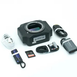
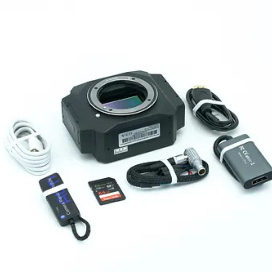
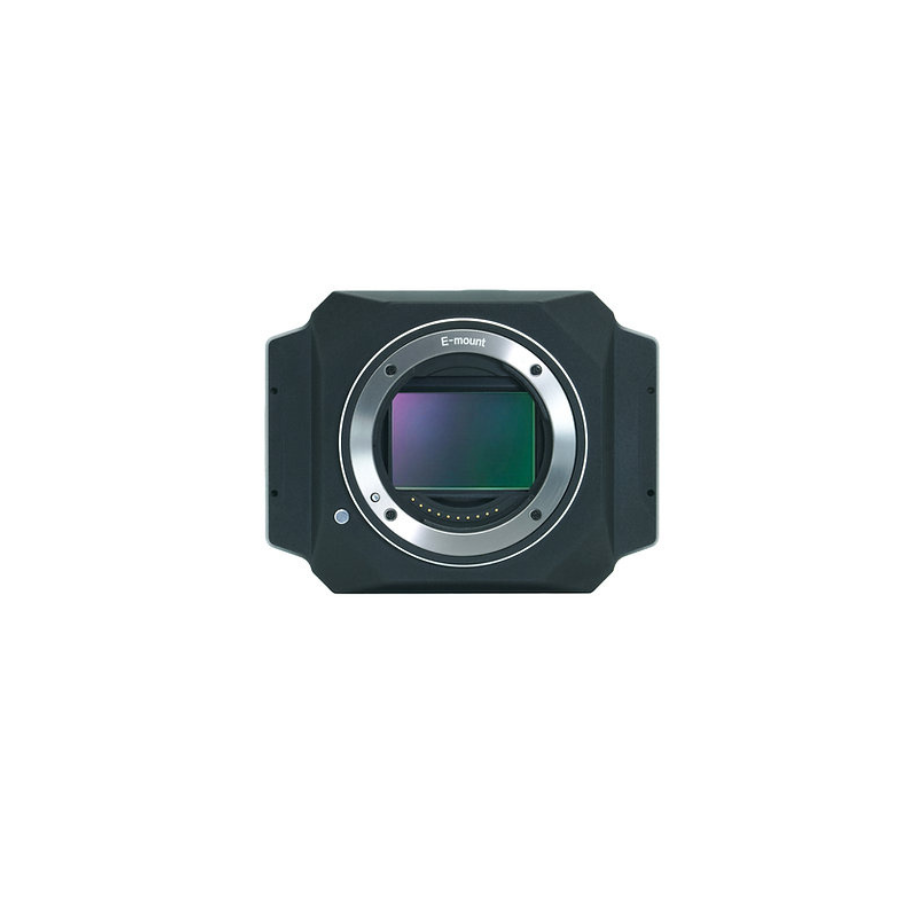
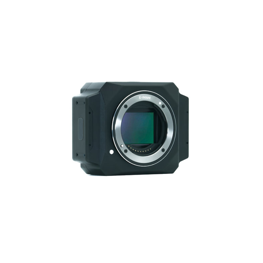
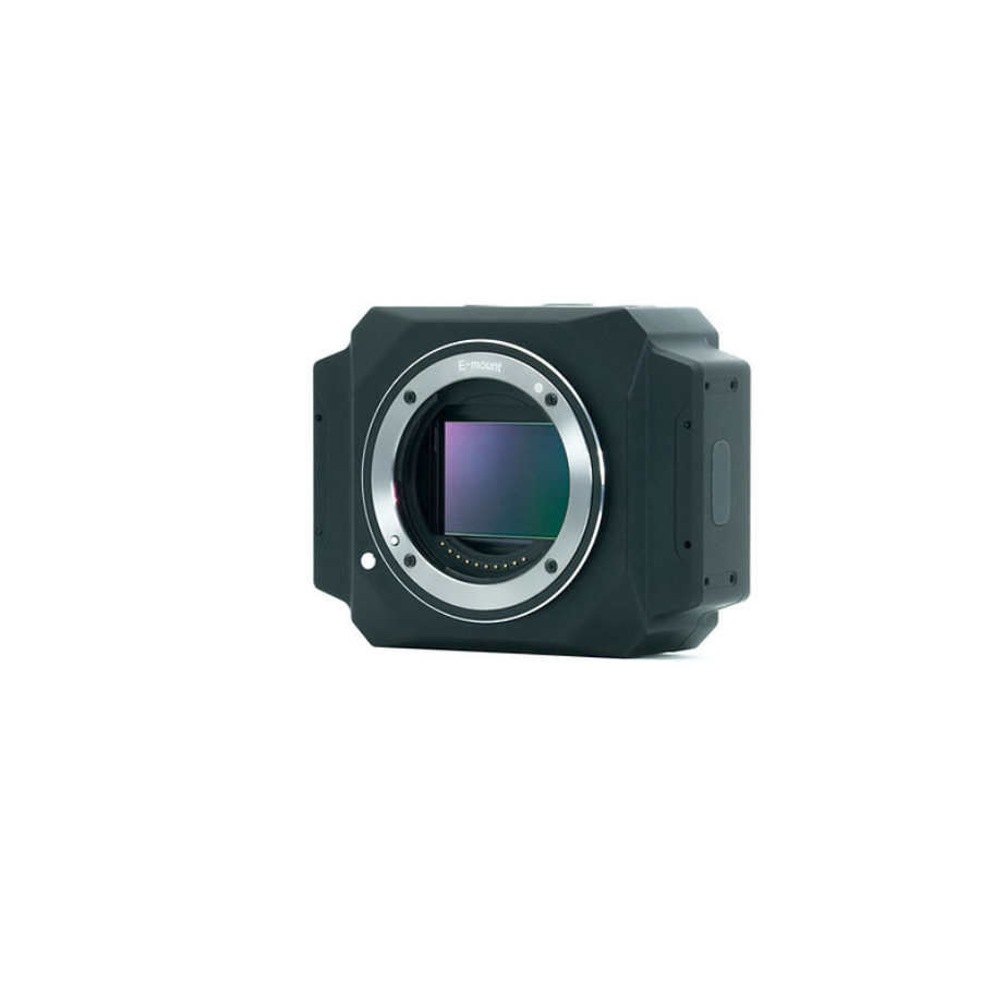
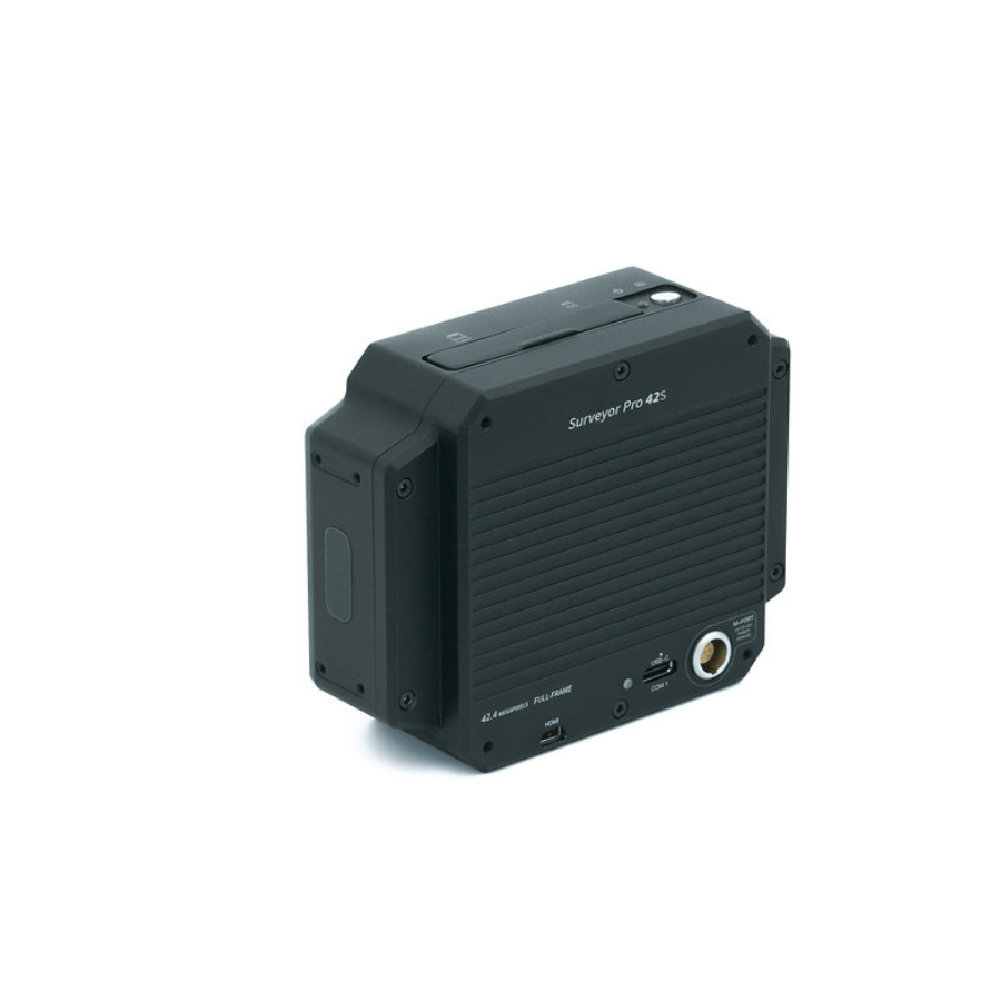
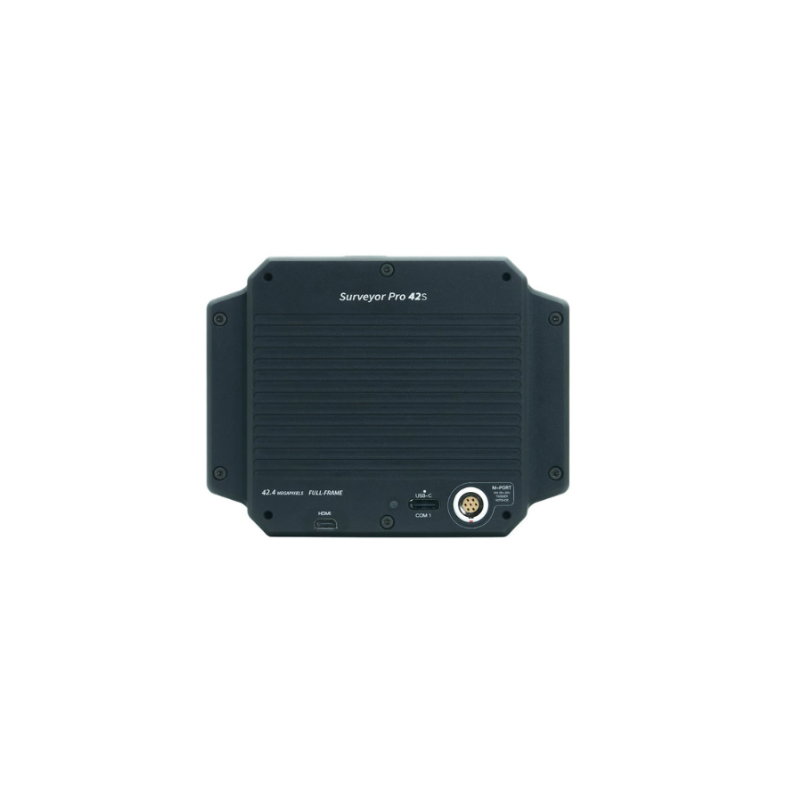
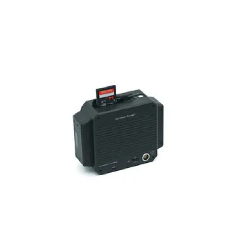
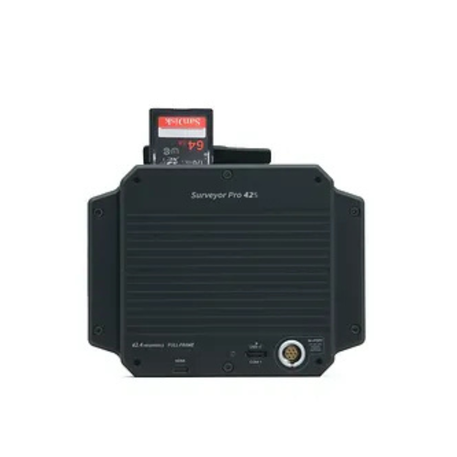
Introducing ADTi 42MP 42S Surveyor Drone Mapping Camera
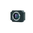
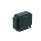
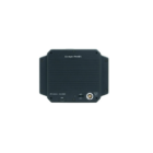
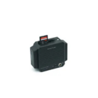
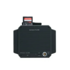
The ADTi 42MP 42S Surveyor Drone Mapping Camera is a high-performance imaging solution designed specifically for UAV-based aerial mapping and surveying. Featuring a full-frame 42MP sensor, this camera delivers exceptional resolution and accuracy for detailed data capture. Its lightweight build, combined with advanced optics and seamless integration capabilities, makes it ideal for professionals in industries such as urban planning, agriculture, and environmental monitoring. The camera supports multi-sensor configurations and custom payload designs, catering to diverse operational requirements. Built with innovative technology, it guarantees high-quality outputs even in challenging environments, ensuring superior image clarity and reliability.
Features
| Feature | Description |
|---|---|
| Resolution | 42MP full-frame sensor for detailed image capture. |
| Multi-Sensor Compatibility | Supports configurations up to 210MP for broader coverage. |
| Lightweight Design | Optimized for UAV payload efficiency. |
| Precision Optics | Ultra-light fixed-focus lenses minimize distortion. |
| Rugged Build | Durable for demanding field conditions. |
Applications and Use cases
1. Aerial Mapping:
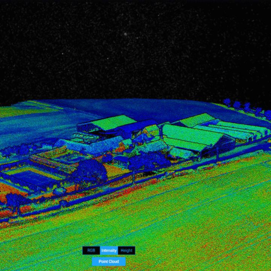
The ADTi 42MP 42S excels in creating highly detailed aerial maps for urban planning, land surveying, and infrastructure development. Its high-resolution imaging ensures accurate topographical data for GIS (Geographic Information Systems).
2. Agricultural Analysis:
Used in precision agriculture to monitor crop health, soil conditions, and irrigation planning, the camera provides actionable insights through NDVI (Normalized Difference Vegetation Index) analysis when paired with compatible UAVs.
3. Environmental Monitoring:
Ideal for assessing environmental changes, the camera is instrumental in tracking deforestation, coastline erosion, and other ecological dynamics.
4. Disaster Management:
Enables rapid assessment of disaster zones by generating high-quality imagery for rescue operations and recovery planning.
5. Construction and Real Estate:
The camera is used to survey construction sites, generate 3D models, and provide promotional visuals for real estate developments.
6. Mining and Quarrying:
Facilitates volumetric calculations, terrain mapping, and resource management in the mining sector
Specifications
Image Sensor Specifications
| Feature | Specification |
|---|---|
| Sensor Type | CMOS |
| Sensor Manufacturer | Sony |
| Effective Megapixels | 42.4 |
| Sensor Format | Full frame |
| Sensor Size | 861.6 mm² (35.90 mm x 24.00 mm) |
| Approximate Pixel Pitch | 4.51 microns |
| Focal Length Multiplier | 1.0x |
| Aspect Ratio | 3:2 |
| Color Filter Type | RGBG |
| Anti-Aliasing Filter | None |
| Color Depth (bits) | 26 |
| Maximum Effective ISO | 3,434 |
Image Capture Resolution
| Resolution | Details |
|---|---|
| 7952 x 5304 | 42.2 MP (3:2) |
| 5168 x 3448 | 17.8 MP (3:2) |
| 3984 x 2656 | 10.6 MP (3:2) |
| 7952 x 4472 | 35.6 MP (16:9) |
| 3984 x 2240 | 8.9 MP (16:9) |
| 12416 x 1856 | 23.0 MP (Other) |
| 2592 x 1456 | 3.8 MP (16:9) |
Video Capture Resolution
| Resolution | Frame Rates |
|---|---|
| 3840 x 2160 | 30p/25p/24p |
| 1920 x 1080 | 60p/60i/50p/50i/24p |
| 1280 x 720 | 30p/25p/120p |
Formats:
- Video File Formats: XAVC S / AVCHD 2.0 / MP4
- Audio Formats: LPCM, Dolby Digital (AC-3), MPEG-4 AAC-LC
Lens & Optics
| Feature | Specification |
|---|---|
| Lens Mount | Sony E |
| Auto Focus | Yes |
| Manual Focus | Yes |
| Shutter Type | Mechanical |
| Shutter Speed | 1/8000-30 sec |
Camera Specifications
| Feature | Specification |
|---|---|
| Camera Size | 103 x 79 x 42 mm |
| Camera Weight | 270 g |
| Package Size | 500 x 500 x 250 mm |
| Package Weight | 800 g |
| Power | 12-28V DC Lipo or Li-ion |
| Operating Temperature | -10 to 40°C |
















There are no reviews yet.