Description
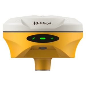
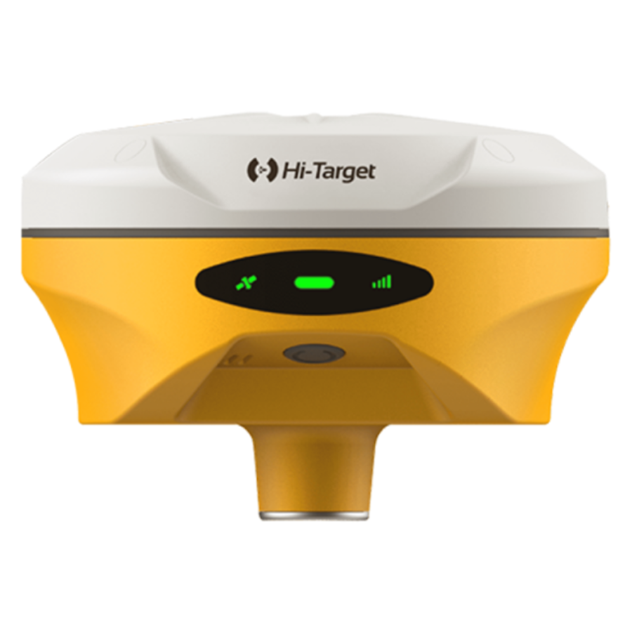
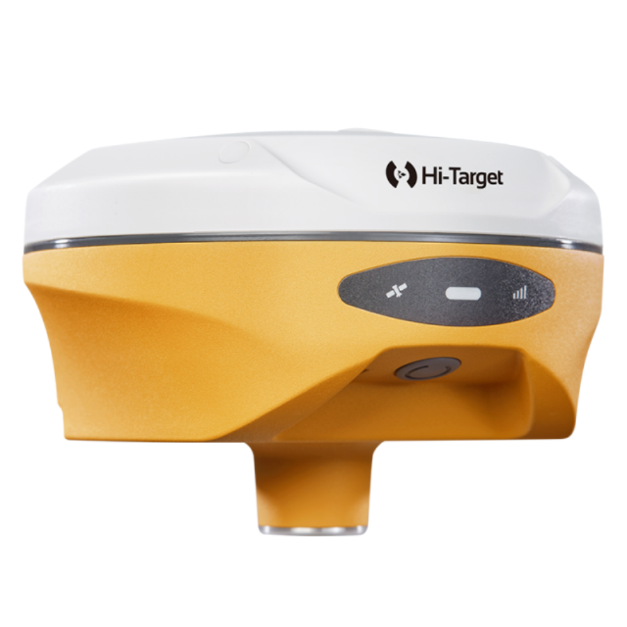
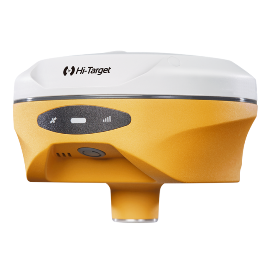
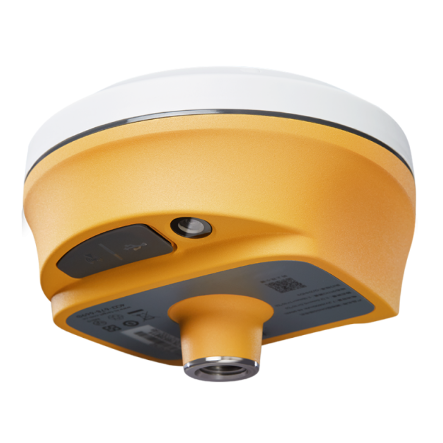
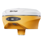
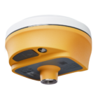
V500 GNSS RTK System
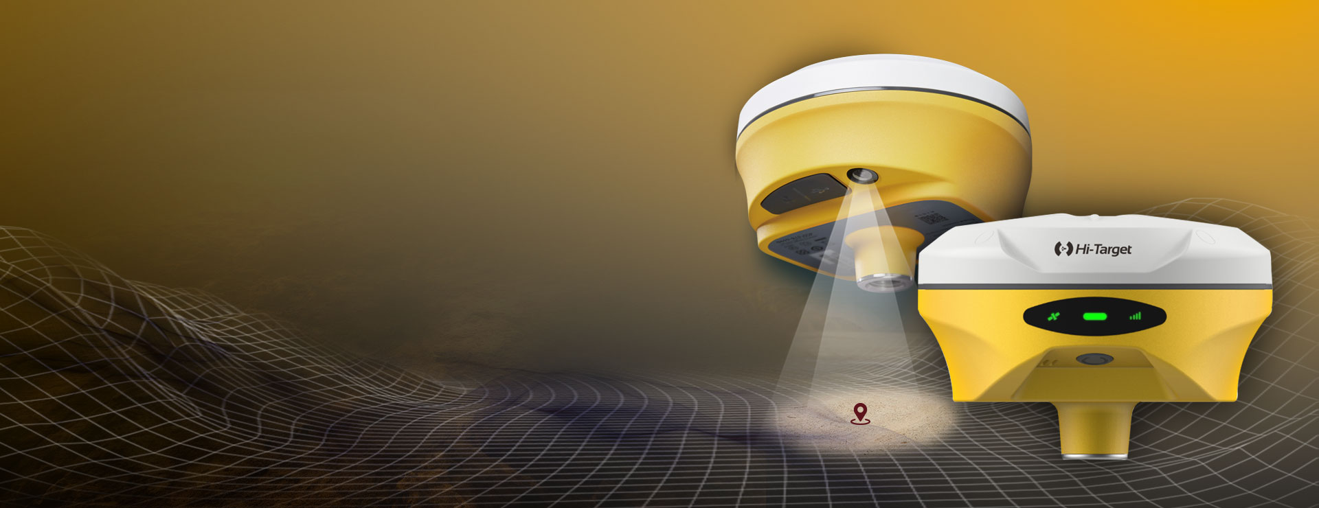
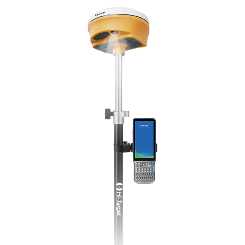
Better AR Stakeout Experience
– Visual positioning technology to find points with ease. The combination of virtual and reality by overlaying the design files with the real scene improves stakeout efficiency.
– Professional-grade starlight night vision HD camera with wide angle. Excellent performance and algorithm in tracking signals, achieving an accuracy of up to 1cm.
– Seamless switch of 360-degree AR stakeout between the handheld controller and the rover brings out immersive stakeout experiences making stakeout fast and accurate
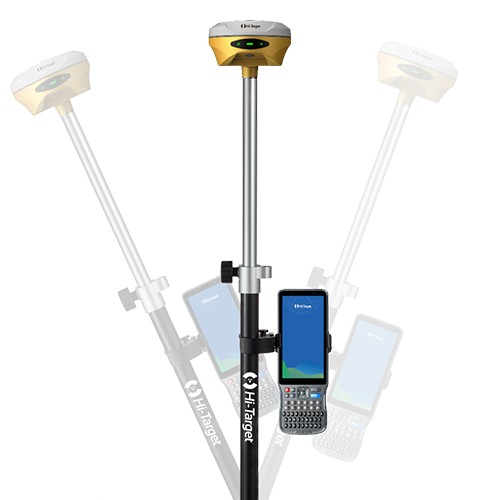
Built-in High-Precision Tilt Survey
– Based on the new generation of IMU, initialization occurs automatically at the startup without obtaining a fixed solution.
– Measure as reaching the point, efficient and convenient.
– Stable performance for reliable results.
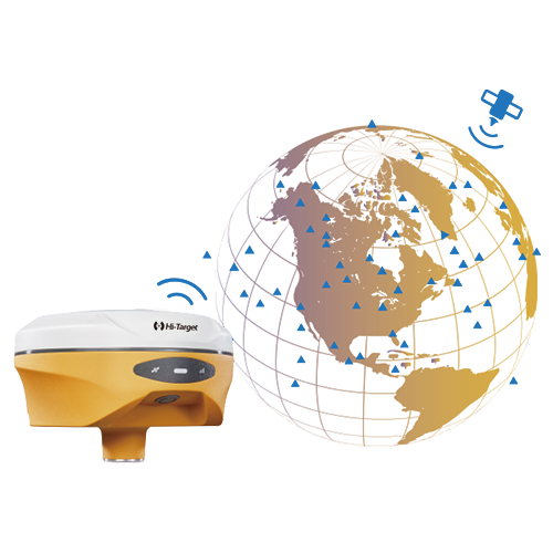
Full Constellation and Full Frequency
– Advanced GNSS SoC chip features 1408 channels, supporting new frequency points B1C, B2a, and B2b RTK decoding for Beidou-3 Satellites.
– Multi-frequency interference detection technology and multi-stage adaptive filtering technology with a strong signal, good data, fast fixed procedure, and high accuracy.
iHand55 Controller
The iHand55 Handheld Controller is a professional field controller with a big vision. Adopting a full-keyboard design, iHand55 supports the fast charge. The updated screen is readable in direct sunlight. More features of the latest Hi-Survey Road Software contribute to achieving high intelligence. Keeping robust and reliable in fieldwork under any conditions, iHand55 is a perfect choice for your survey work.
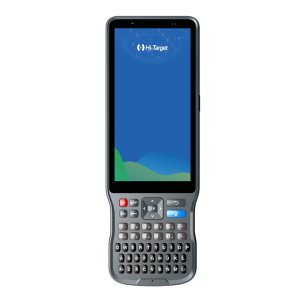
– 5.5”sunlight readable display capacitive touch screen for fingers or stylus.
-QWERTY full keyboard designed, convenient for different measurement application scenarios.
-Quick charge with internal lithium battery to improve efficiency under long time job.
– Android 11.0 operating system equipped to maintain the productivity of numerous survey projects and data.
Specifications
Power
6
Operating power: max. [V]
28
Typical consumption [W]
3.2
Internal power supply
Yes
External power supply
Yes
Certifications
CE, FCC, KC, IP67
Rechargeable with (auto)battery
Yes
Performance
1408
Max. simultaneous tracked channels
1408
Tracked satellite signals
GPS: L1/L2/L5/L2C; BDS: B1/B2/B3/B1C/B2a; GLONASS: L1/L2/L3; Galileo: E1/E5 AltBOC/ E5a/E5b/E6; SBAS: L1/L5; QZSS: L1/L2/L5/L6; IRNSS: L5
SBAS differential signals
EGNOS,WAAS,MSAS,GAGAN,QZSS
Type of measurements
full carrier phase
General
Land
Year of initial introduction
2023
Height [m]
0.067
Width [m]
0.132
Total Weight [kg]
0.75
Housing Material
magnesium
Communication: Protocols
RTCM 2.x, RTCM 3.0, RTCM 3.2
CMR standards for differential data
CMR, CMR+, sCMRx
NMEA output format
NMEA-0183
L-Band Compatible
Yes
Environment
-30
Operating temperature: max. [°C]
70
Humidity resistance
100%
Water sand and dust proof
IP67
Shock and vibration proof
2m














There are no reviews yet.