

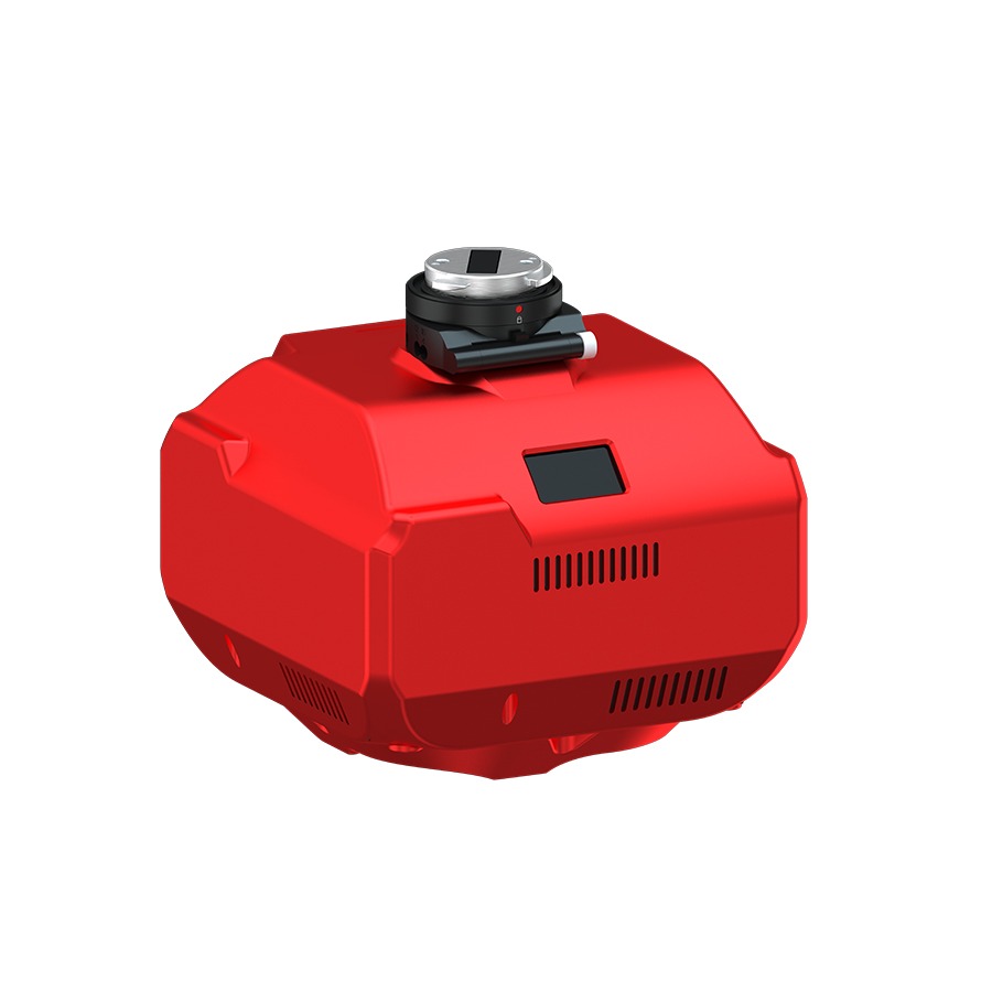


Description
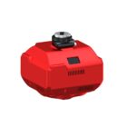
Introducing the Share 202S PRO – Professional Mapping Camera
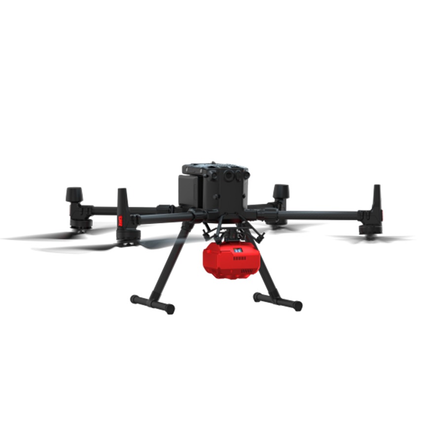
Use the Share 202S PRO Series with SkyPort to capture high-resolution, full-frame imagery with a long focal length, ideal for professional aerial surveys.
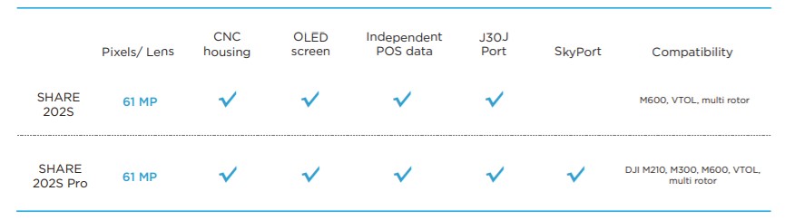
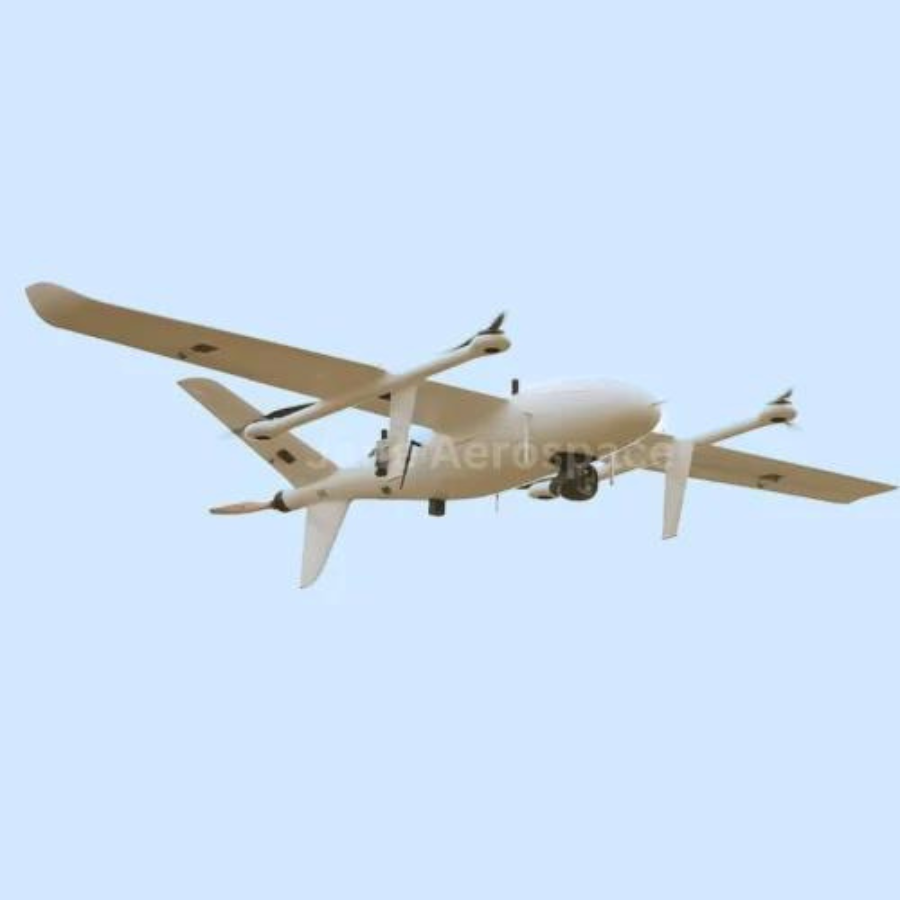
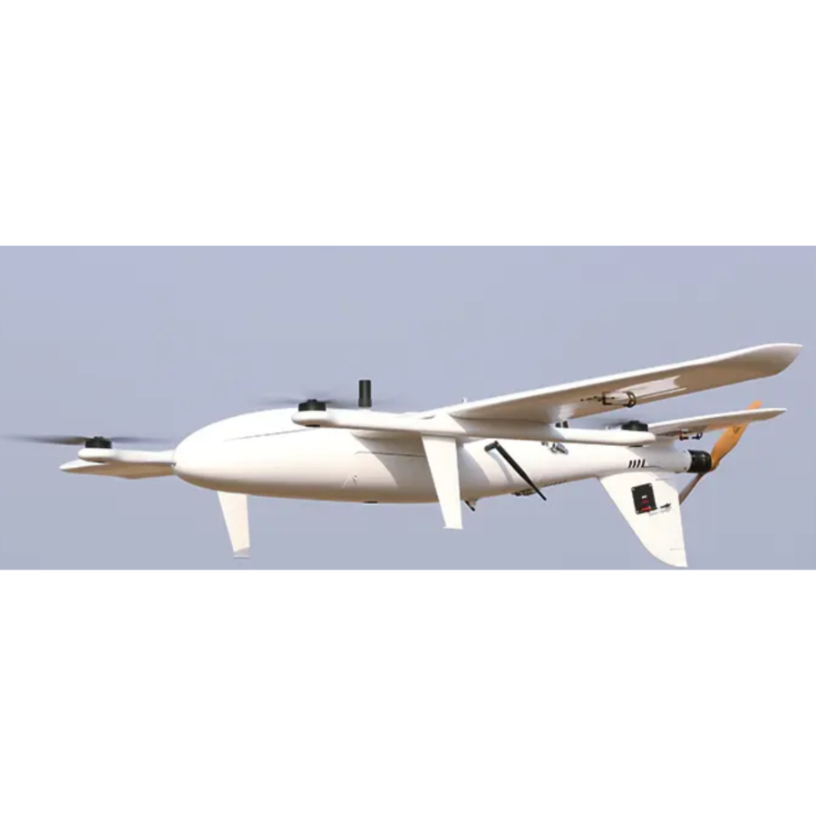
Easily integrate with DJI M210, M300, M600, VTOL, and other multi-rotor drones, ensuring broad platform compatibility.
Key Features – Share 202S PRO
Three Major Functions:
- Survey with No GCPs Used
Firstly, eliminate the need for ground control points and achieve both high accuracy and high efficiency. - Real-time Image Transmission
Secondly, transmit downward vision images in real-time to the ground station, ensuring full control during the mission. - OLED Display All Status
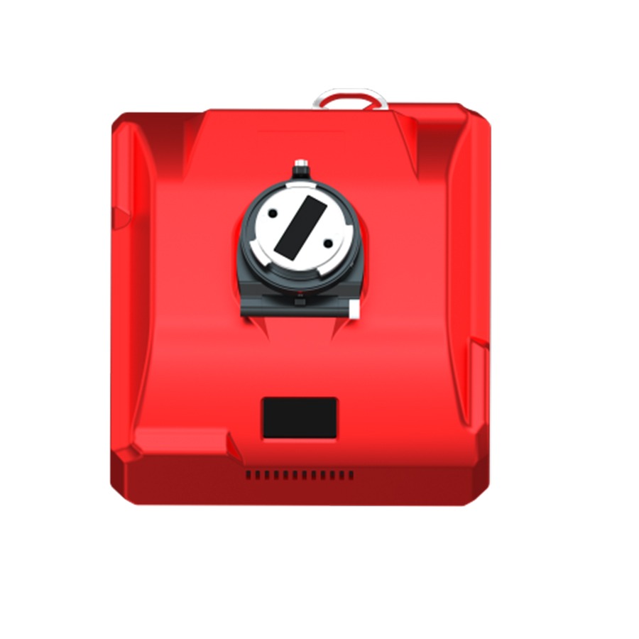
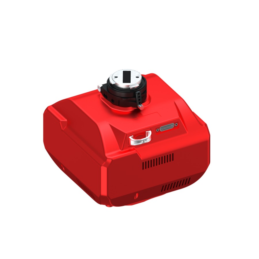
Lastly, use the industry-first OLED screen on the oblique camera to view all key status details—camera ID, photo count, RTK signal, and temperature—at a glance.
Data Process Software
Share Data Manager
Preprocess data & Write POS information
- To begin with, capture high-precision data with a full-frame camera, making it perfect for a variety of survey missions.
- Consequently, achieve accurate results across diverse terrains and application areas.
- Furthermore, integrate seamlessly with multi-rotor, fixed-wing, and VTOL platforms.
- In addition, operate the system easily and maintain an efficient, streamlined workflow.
- Most importantly, ensure full compatibility with DJI M210, M300, M600, VTOLs, and other multi-rotor drones.
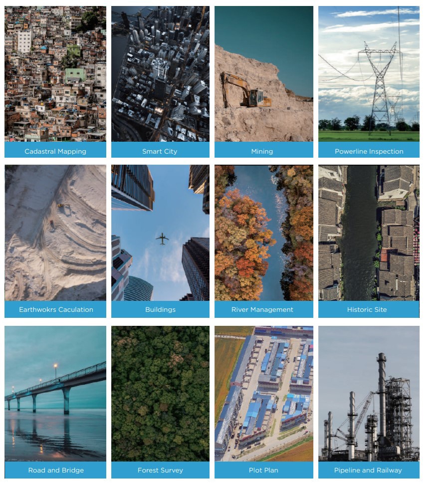
Applications
- To begin with, Cadastral Mapping
- In the same way, Smart City planning and development
- Additionally, Mining operations and site planning
- Moreover, Powerline Inspection for maintenance and safety
- As well, Earthwork Calculation for precise volume analysis
- In addition, Building construction and structural assessment
- Furthermore, River Management and flood risk analysis
- Equally important, Historic Site documentation and preservation
- Not to mention, Road and Bridge infrastructure assessment
- Also, Forest Survey for environmental monitoring
- Next, Plot Plan creation for land development
- Finally, Pipeline and Railway route planning and inspection
Specifications
| Category | Specification |
|---|---|
| Camera | |
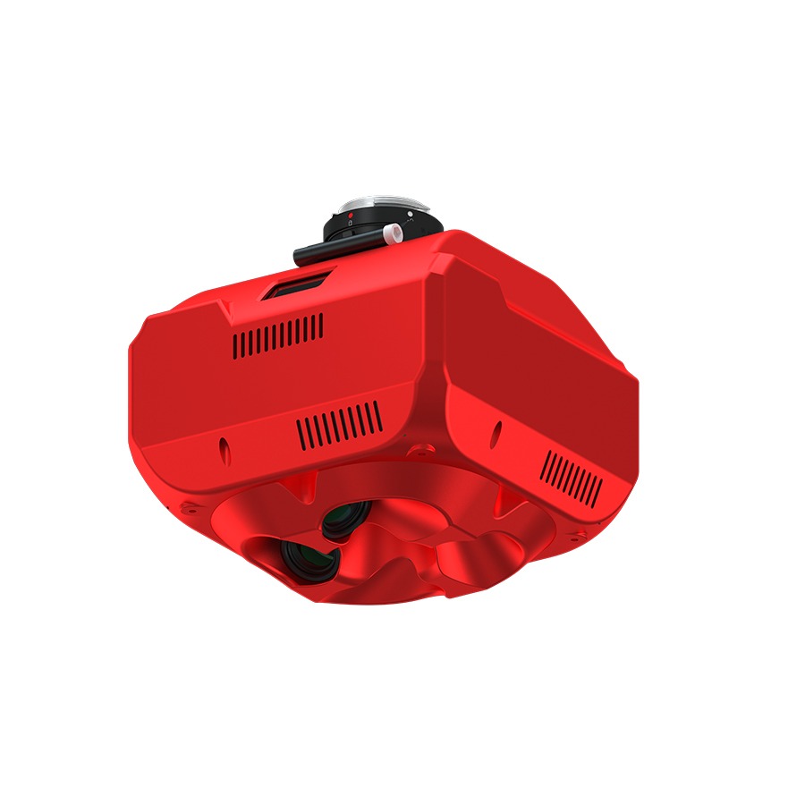
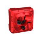
| Quantity of Lenses | 5 pcs |
| Focal Length | 56 mm × 4 + 440 mm × 1 |
| Effective Pixels | 42.4 MP per lens, Total ≥ 210 MP |
| Pixel Size | 7952 × 5304 |
| Sensor Size | Full Frame (35.9 mm × 24 mm) |
| Lens Angle | 45° |
| Exposure Interval | ≥ 1.2 s |
| Storage Capacity | 1280 GB |
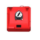
| Power Supply | SkyPort / J30J-15 |
| Power On/Off | Auto On / Auto Off |
| General | |
| Operating Temperature | -10℃ ~ 50℃ |
| Humidity Tolerance | Up to 95% |
| Dimensions | 160 × 160 × 105 mm |
| Weight | 1150 g |
FAQ'S
1. How many lenses does the camera include?
The camera includes 5 lenses, and each one captures high-resolution data to ensure detailed image collection.
2. Can I achieve high-precision results without GCPs?
Yes, you can survey efficiently without using GCPs, thanks to the built-in RTK support and full-frame sensors.
3. How do I view the camera’s operational status?
You can monitor all key stats in real time through the integrated OLED display, which shows photo count, RTK signal, temperature, and more.
4. What drones can I use with this camera?
The camera easily integrates with DJI M210, M300, M600, VTOLs, and other multi-rotor drones via SkyPort.
5. How is the captured image data stored?
The system stores data on a built-in 1280 GB drive, providing plenty of space for long-duration missions.


There are no reviews yet.