
Description
Introducing the MagNIMBUS atomic total-field magnetometer
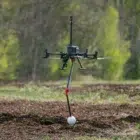
1. Advanced Low-Altitude UXO Detection Made Easy
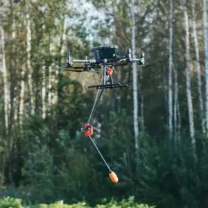
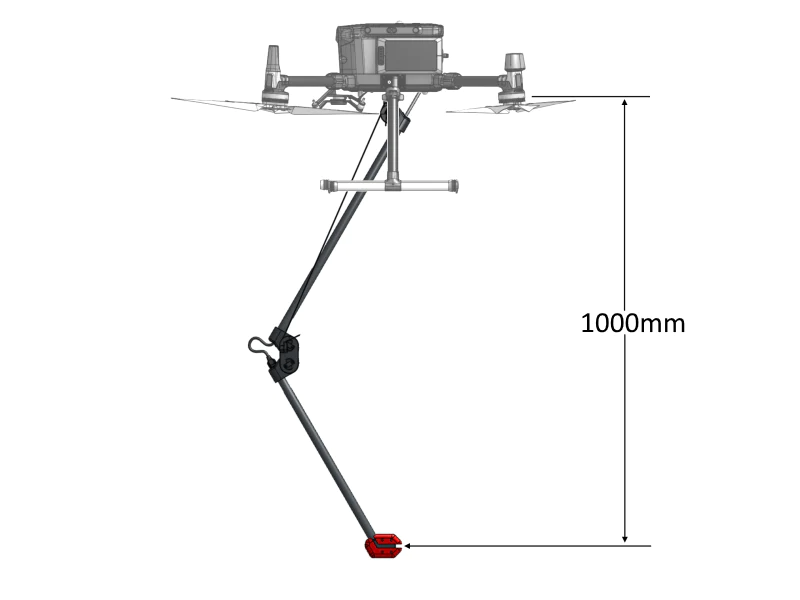
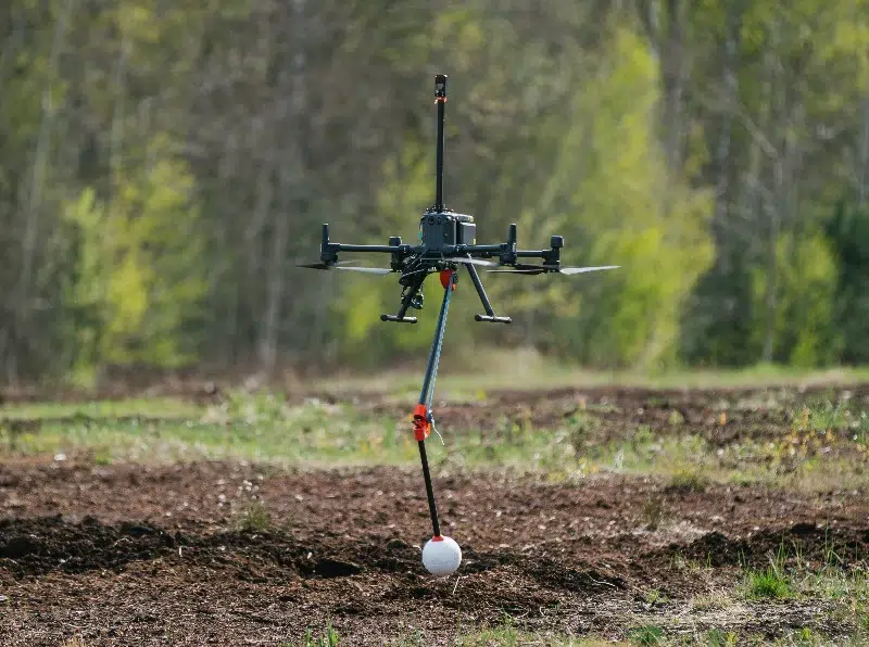
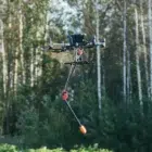
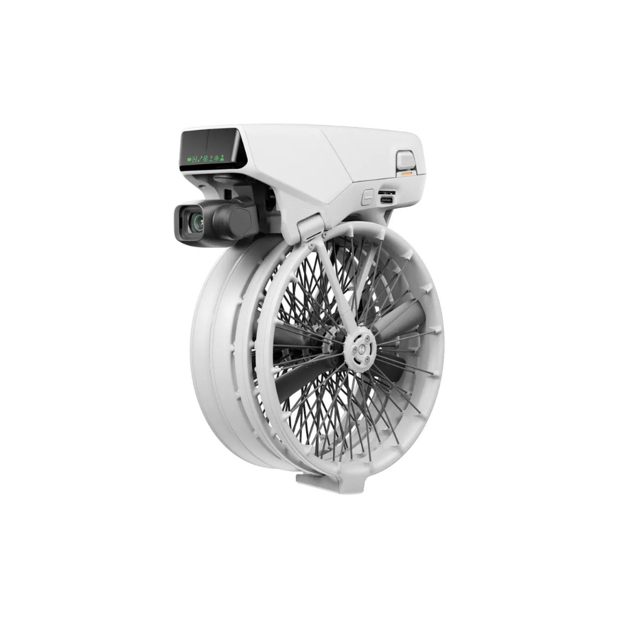
The MagNIMBUS atomic total-field magnetometer features a unique design that enables extremely low surface-to-sensor clearance—starting from just a few dozen centimeters. This low-altitude capability proves especially valuable when surveying fields covered in vegetation, where small UXO items may remain hidden. Moreover, if the sensor makes contact with vegetation or ground obstacles, it does not cause the drone to crash. As a result, the system ensures safe and continuous operation in rugged environments.
2. Effortless Take-Off and Landing
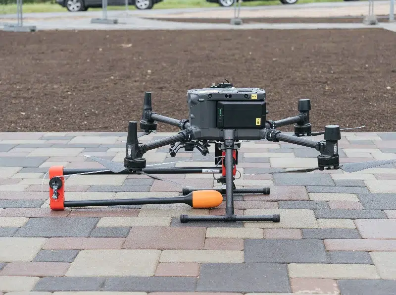
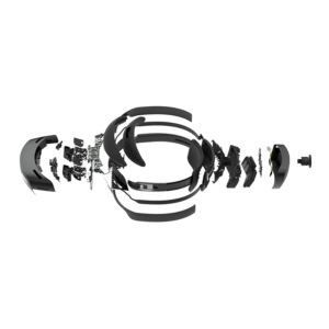
Additionally, the self-foldable sensor mount enhances operational efficiency. It supports stable take-off and landing without requiring advanced piloting skills. Unlike traditional magnetic sensors suspended on cords, this smart mount streamlines drone handling and significantly boosts overall safety and ease of use.
3. Two Flexible System Variants
To adapt to various mission requirements, the MagNIMBUS atomic total-field magnetometer offers two versatile configurations.
3.1 Vertical Gradiometer Configuration
This option simplifies data processing and removes the need for a magnetic base station. Therefore, it suits users looking for a more efficient workflow and quick deployment in the field.
3.2 Single Sensor with Foldable Mount
Alternatively, this configuration delivers the same detection capability as the gradiometer setup. However, it demands more expertise for data analysis. In addition, when operating near strong magnetic sources, using a magnetic base station becomes highly recommended to maintain data accuracy.
4. Complete, Field-Ready System Components
The MagNIMBUS system includes everything needed for professional magnetic surveys.
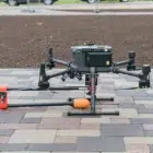
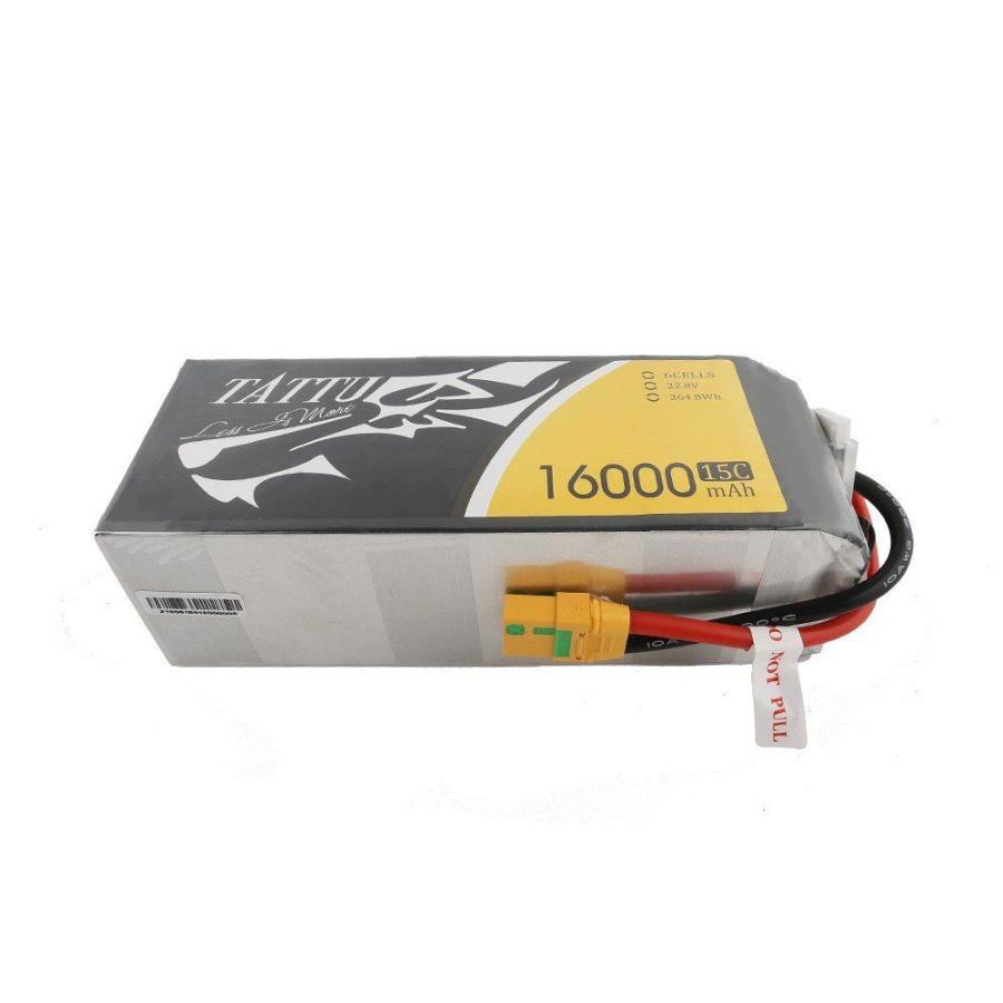
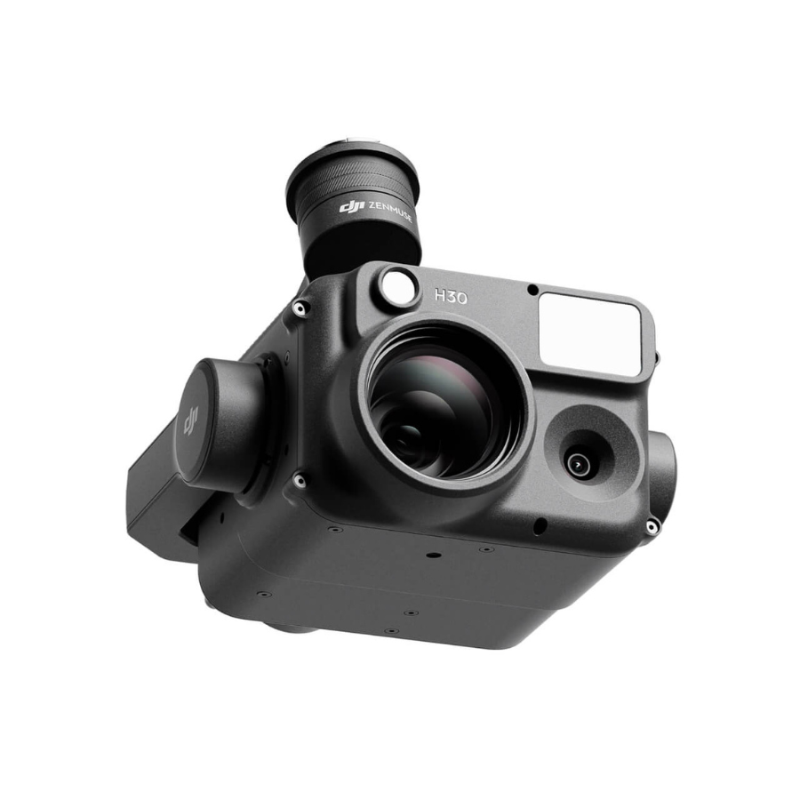
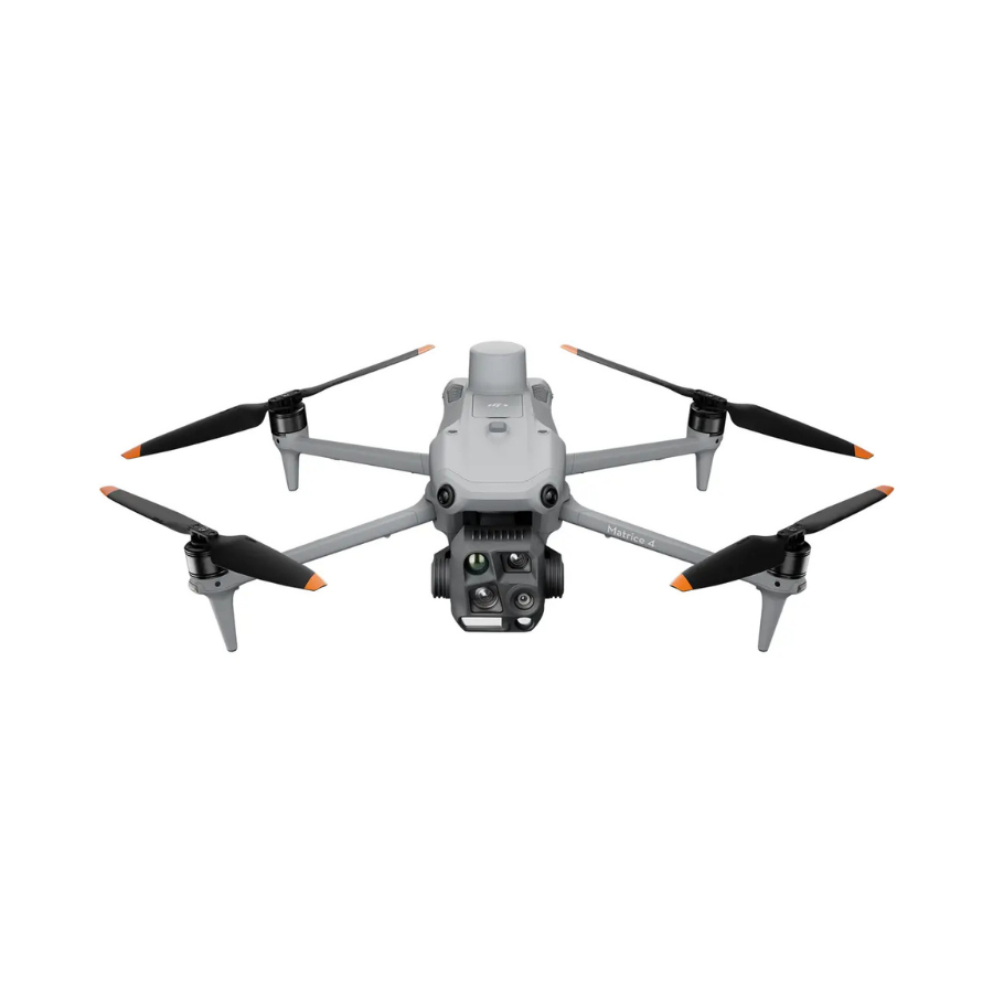
- Recommended Drones: DJI M350 RTK and M300 RTK (custom kits for other platforms, including Pixhawk-based drones, available on request)
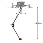
- Foldable Mount: Integrated with a QuSpin Gen-2 magnetic field sensor
- Vertical Gradiometer Mast: Features a second QuSpin Gen-2 sensor
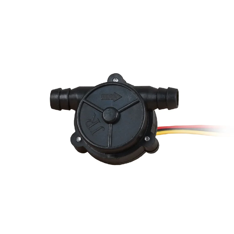
- SkyHub Onboard Computer: Functions as both data logger and terrain-following controller
- Altimeter: Laser or radar options for precise altitude control
- Flight Software: UgCS Expert for mission planning and drone management
- Data Processing Software: Geosoft Oasis montaj recommended for professional results
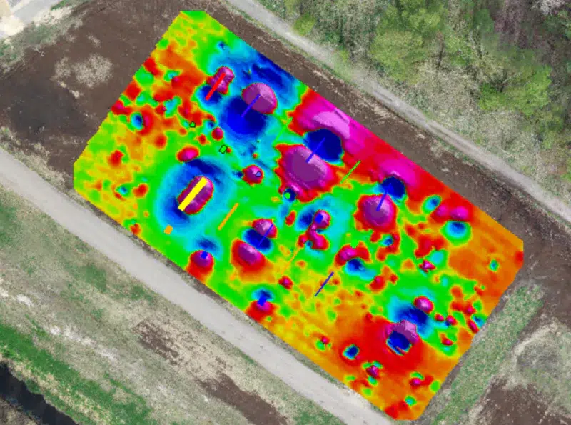
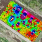
5. UXO and Landmine Detection Capabilities
MagNIMBUS effectively detects a wide range of UXO items—from hand grenades like the F1 fragmentation grenade (at distances up to 1 meter) to large aerial bombs several meters away. Furthermore, it identifies certain landmines that contain substantial ferrous metal content, such as the TM-62M and OZM-72.
However, the system does not support full-scale landmine detection. For that reason, operators must avoid using it to confirm the absence of UXO or landmines in any area.
Instead, MagNIMBUS plays a vital role during Non-Technical Surveys (NTS) or Technical Surveys (TS). It helps identify evidence of UXO or landmines that contain notable metal components, offering critical support during early-stage assessments.
Overall, MagNIMBUS provides a dependable, safe, and efficient solution for UXO detection, archaeological exploration, and underground infrastructure mapping—especially when missions demand precise low-altitude operations.
Specifications
| Specification | Details |
|---|---|
| Size (Folded) | 640 × 180 × 75 mm |
| Size (Unfolded) | 1100 × 310 × 75 mm |
| Sensor Weight | 570 g |
| Mounting Weight (DJI M350/M300) | 100 g |
FAQ's
1. What makes the MagNIMBUS different from conventional magnetometers?
The MagNIMBUS uses atomic magnetometer technology, which provides superior sensitivity and accuracy compared to traditional fluxgate or proton precession magnetometers.
2. Can the MagNIMBUS be mounted on a UAV?
Yes, its compact and lightweight design makes it ideal for drone-based surveys, enabling efficient data collection in remote or inaccessible areas.
3. What industries benefit from using the MagNIMBUS?
Industries including mineral exploration, archaeology, environmental monitoring, UXO detection, and scientific research can leverage the MagNIMBUS for highly precise magnetic field measurements.
4. How is data transferred and analyzed?
The system features wireless real-time data transfer, including software for processing, visualization, and interpretation of magnetic field variations.
5. Is the MagNIMBUS suitable for underwater surveys?
The MagNIMBUS is designed for multi-environment use, including marine applications, making it a versatile choice for land- and water-based surveys.


There are no reviews yet.