Description
Introducing the Elios 3 Surveying Payload
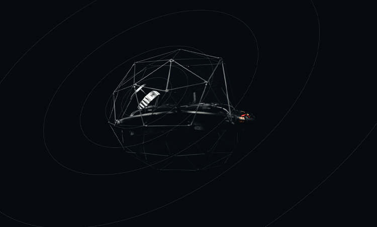
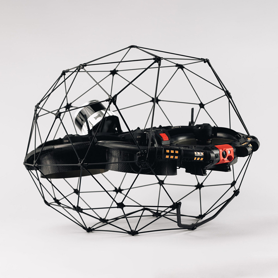
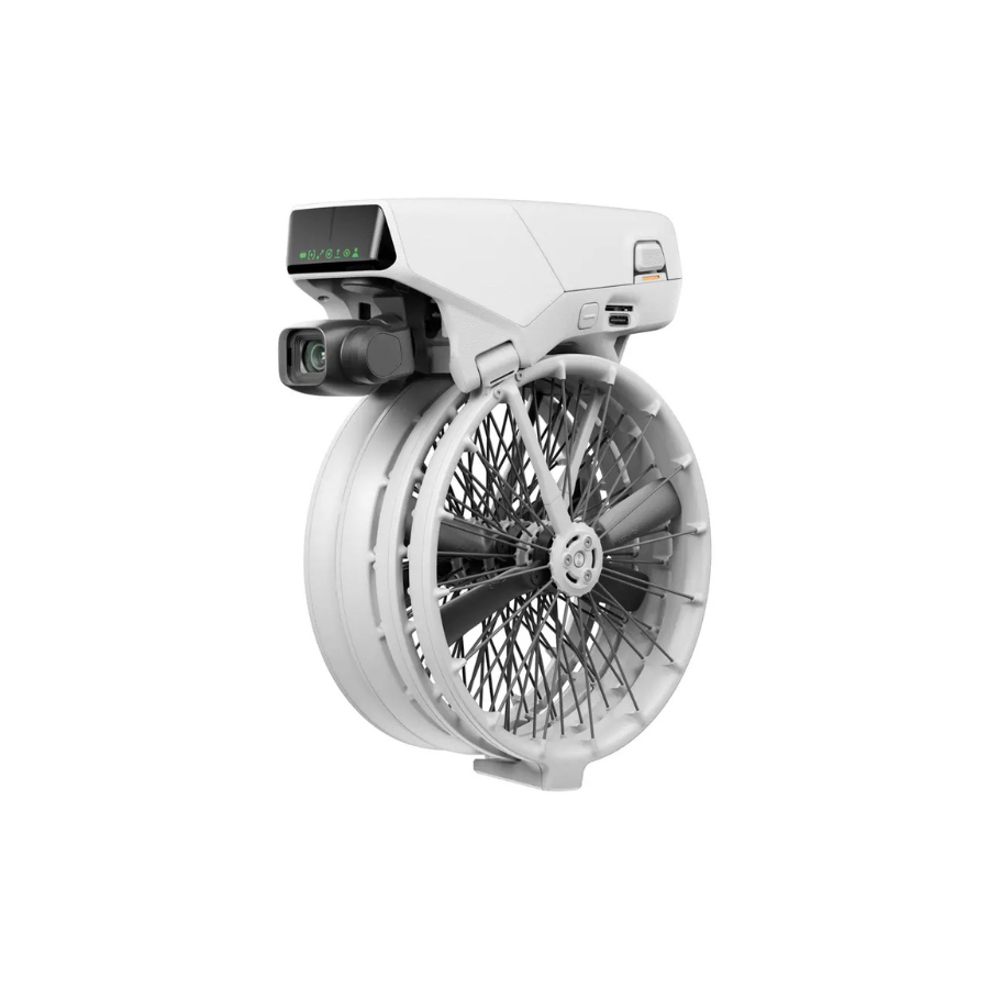
The Elios 3 Surveying Payload is a cutting-edge solution designed for high-accuracy data collection in complex and challenging environments. This advanced payload enhances the capabilities of the Elios 3 drone, making it an essential tool for industries such as mining, construction, and infrastructure management. With its state-of-the-art LiDAR technology, the Elios 3 Surveying Payload ensures precise measurements and reliable data capture, even in hard-to-reach areas. Its robust design and user-friendly interface make it suitable for operators of varying skill levels. The payload is engineered to adapt to various surveying conditions, providing versatility and efficiency in data collection workflows.
Features
SURVEYING PACKAGE
A One-Stop Solution
To get you started, the Surveying Payload comes as a comprehensive package, which includes:
- The hardware:
The surveying payload is available as a package with the Elios 3 drone or as a standalone payload for existing Elios 3 users. - The FARO Connect software:
This software is designed to ease the processing and management of Elios 3’s LiDAR data. - A set of reflective targets:
These targets are perfectly sized for FARO Connect to automatically detect during the SLAM registration workflow. -
An in-depth training course:
This course covers everything from best flight practices to processing and registration.
Bridge data gaps in challenging environments
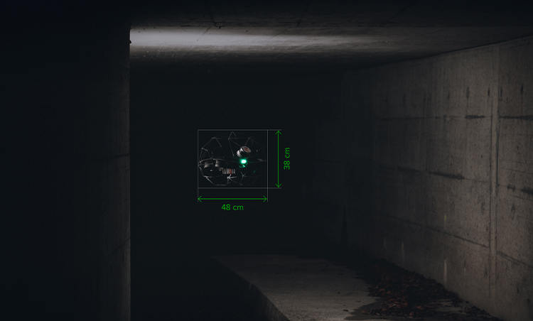
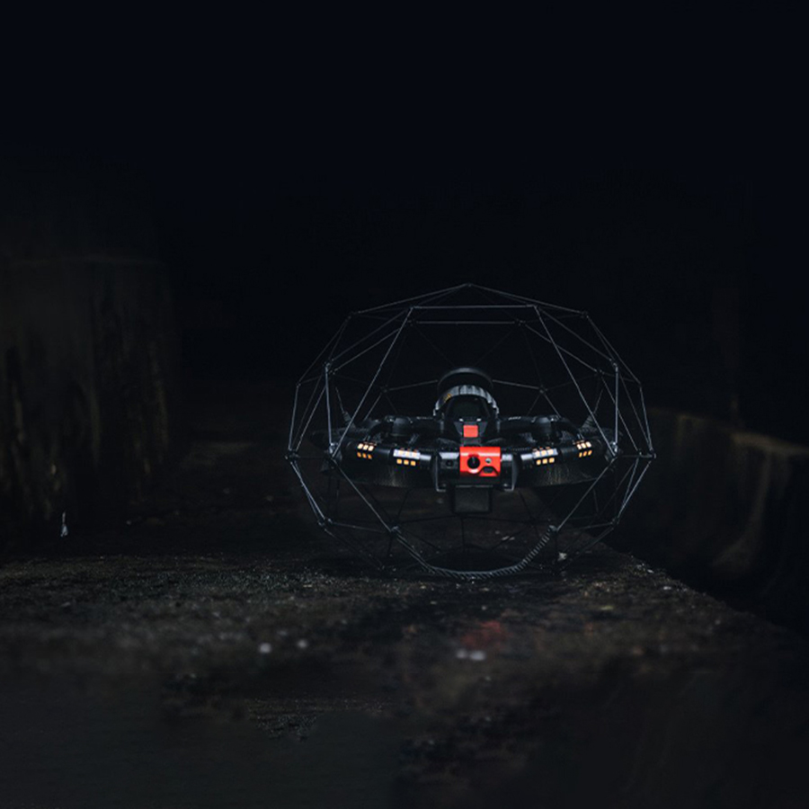
The Elios 3 Surveying Payload is specifically designed to bridge data gaps in environments that traditional tools cannot access. With its compact size and advanced sensors, it allows drones to fit into spaces as narrow as 50x50cm, ideal for confined areas like chimneys, ducts, and tunnels. This technology enables efficient, high-resolution mapping beyond the line of sight, offering data that would otherwise be unreachable. It is a game-changer for industries requiring rapid, reliable insights in hazardous or hard-to-reach locations.
Survey-grade accuracy
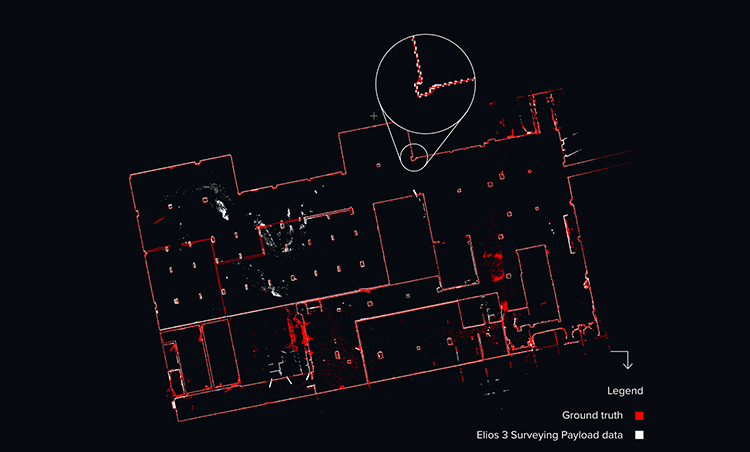
The Elios 3 Surveying Payload uses cutting-edge Ouster OS0-128 Rev 7 LiDAR sensor technology, which ensures highly precise 3D mapping of complex environments. The integration of FARO Connect SLAM algorithm further refines this data to produce accurate digital twins and models with centimeter-level precision. This survey-grade accuracy minimizes errors in measurements and ensures consistent results, even in challenging environments. The combination of high-precision data capture and post-processing software gives professionals the tools needed to make informed decisions with greater confidence.
Accuracy
As low as 0.1% drift.
New mapping capabilities
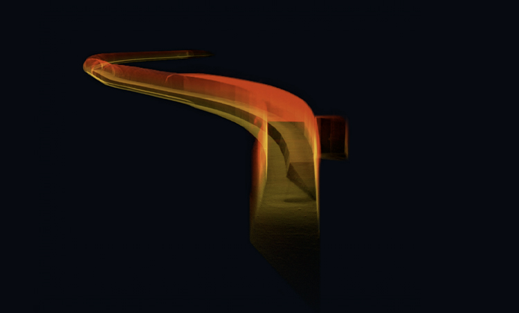
With the latest Ouster REV 7’s enhanced L3 chip, the Elios 3 can capture more distant points and detect additional visual features. This improves the likelihood of the SLAM algorithm successfully generating 3D models of cylindrical and symmetrical spaces, such as chimneys, collectors, culverts, or underground tunnels.
Accuracy may vary depending on the environment’s geometry. Refer to our detailed accuracy report to evaluate how well the technology suits your needs.
Scanning beyond safe access
The Elios 3 drone, equipped with the Surveying Payload, can access environments that other technologies cannot reach. With a small form factor and durable design, the drone can fit through openings as small as 50x50cm, making it perfect for confined spaces. The hardware is protected by a robust fixed cage, while the patented flight controller ensures recovery after impacts, allowing it to stay stable during challenging maneuvers. This unique design allows for high-resolution scanning even in dangerous or hard-to-reach areas, offering real-time data collection in previously inaccessible zones.
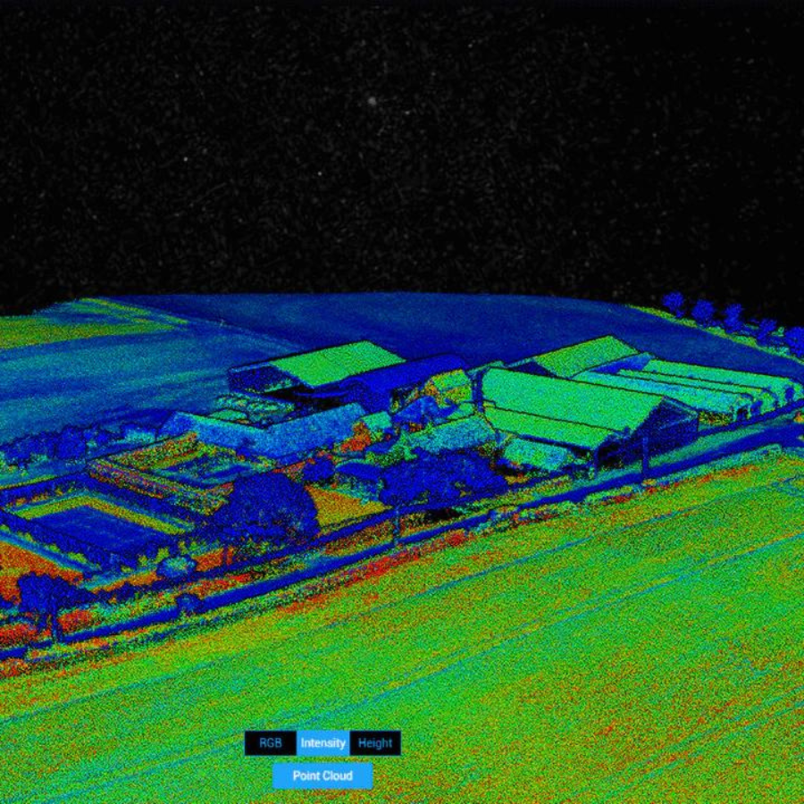
Stunning point clouds
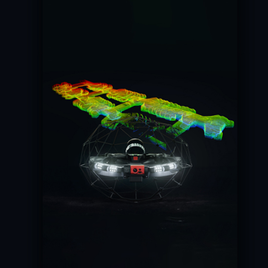
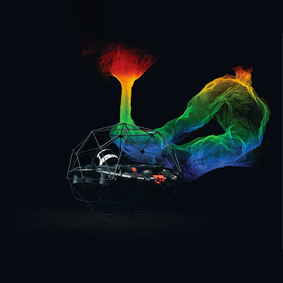
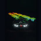
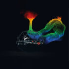
Generate highly detailed and accurate point clouds of complex indoor environments while staying at a safe distance. The Elios 3’s Surveying Payload makes it easy to create thorough visual representations of challenging indoor spaces, enabling precise mapping and analysis.
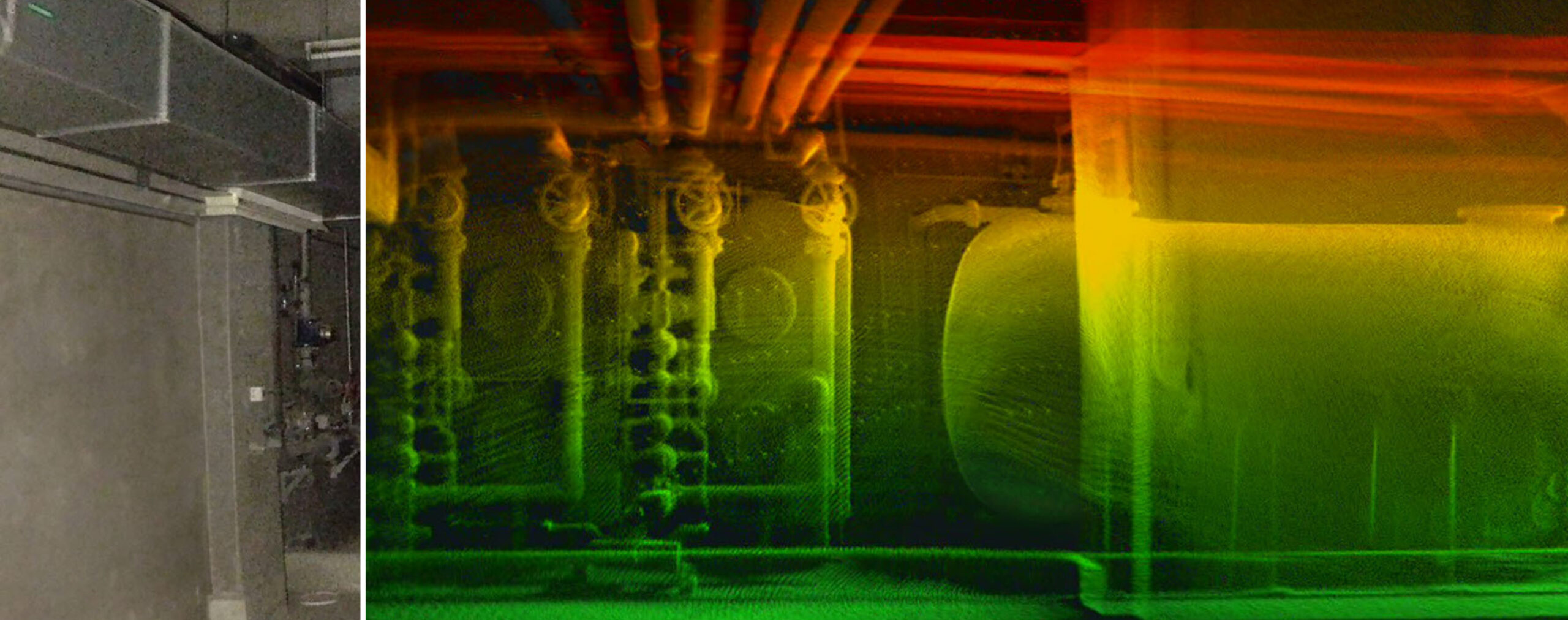
Elios 3 LiDAR Configurations: Overview
| Datapoint | Elios 3 & FlyAware | Elios 3 Surveying & FARO Connect |
|---|---|---|
| When Localizing Inspection Data Matters | 1x | 2x – 2.3x |
| When 3D Model Matters | 1x | 2x – 2.3x |
| Range | Up to 50m @ 80% reflectivity, Up to 15m @10% reflectivity | Up to 100m @ 80% reflectivity, Up to 35m @10% reflectivity |
| Precision (2 Sigmas) | +/- 1.8 cm | +/- 1.2 cm |
| Accuracy in Structured Environments | Some artifacts (e.g., “wall collapses” or “double walls”) | No artifacts if guidelines followed |
| Drift in Structured Environments | 0.5-1% | ~0.1-0.2% |
| Drift in Symmetric Environments | ~2% | ~0.25-0.5% |
| Drift in Challenging Environments | 2-5% | 0.5-2% |
| Drift in Very Challenging Environments | 5+% | 2-5% |
| Points / Sec | ~50k | ~1.3M |
| Light Sensitivity | 10x | 25x |
| Mapping Algorithm | Real-time SLAM, focused on robustness | Post-processing SLAM, focused on high accuracy |
| Desktop Software | Inspector (for reporting and data localization) | Inspector + FARO Connect (for georeferencing, 3D manipulation, etc.) |
| Flight Time, Max Altitude | 9’ 30”, 3,000m AMSL | 9’ 00”, 2,700m AMSL |

















There are no reviews yet.