

Description
SkyHub software package for GPR
Geophysical surveys, underground infrastructure inspections, archaeology, and military applications.
Real-Time Subsurface Scanning – Processes high-resolution GPR data for detecting underground structures, utilities, and anomalies.
Automated Data Interpretation – AI-powered algorithms help filter noise, enhance signals, and identify underground objects with high accuracy.
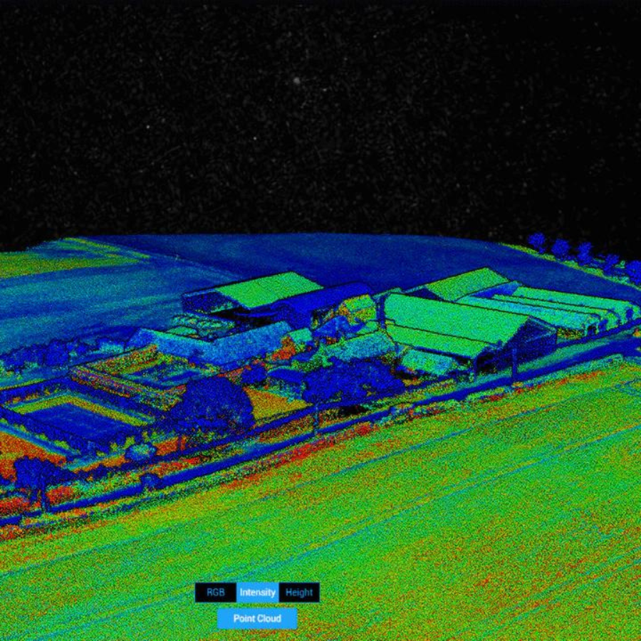
3D Visualization & Mapping – Converts raw GPR data into interactive 2D and 3D subsurface maps for detailed analysis.
Specefications
General
| Specification | Details |
|---|---|
| Real-Time GPR Data Processing | High-resolution subsurface imaging with AI-enhanced filtering for better signal clarity. |
| 3D Visualization & Mapping | Converts raw GPR scans into 2D & 3D subsurface maps for detailed analysis. |
| Automated Object Detection | AI-powered algorithms identify buried structures, anomalies, and underground utilities. |
| Multi-Layer Data Analysis | Provides depth-based scanning for geological, construction, or archaeological studies. |
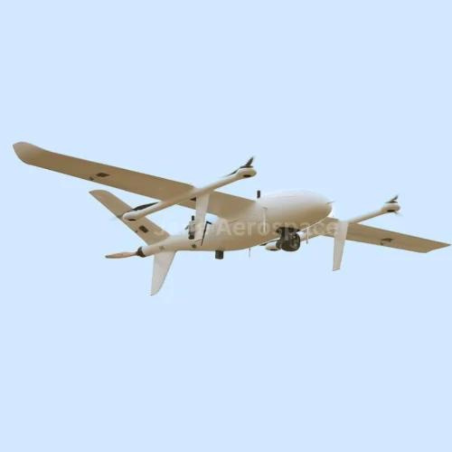
| Seamless UAV & GPR Sensor Integration | Works with various drones and GPR sensors for aerial or ground-based surveys. |
| Cloud & Offline Processing | Supports real-time cloud-based analysis and offline mode for remote areas. |
| Automated Flight Path Optimization | AI-driven algorithms generate efficient scan routes, reducing survey time. |
| Data Export & Reporting | Exports data in multiple formats (CSV, PDF, GIS-compatible formats) for regulatory compliance. |
| Customizable Scan Parameters | Adjustable depth range, frequency, and resolution for different environments. |
| Regulatory Compliance | Generates reports that meet industry and environmental standards. |
FAQs
1. What types of underground objects can SkyHub detect?
SkyHub, when paired with a GPR sensor, can detect pipes, cables, voids, tunnels, archaeological artifacts, UXOs (Unexploded Ordnance), geological formations, and foundation weaknesses.
2. Can SkyHub be used with any GPR sensor?
Yes, SkyHub supports various GPR sensors and is compatible with multiple UAV and ground-based platforms.
3. Does SkyHub support 3D visualization of underground scans?
Absolutely! SkyHub converts raw GPR data into 2D & 3D subsurface maps, making analysis easier and more detailed.
4. Can SkyHub function in remote locations without internet access?
Yes, SkyHub has an offline mode, allowing operators to collect and analyze GPR data without an internet connection. The data can be synced once connectivity is restored.
5. How does SkyHub optimize flight paths for UAV-based GPR surveys?
SkyHub uses AI-driven flight path optimization, ensuring complete area coverage while minimizing energy consumption and survey time.


There are no reviews yet.