Description
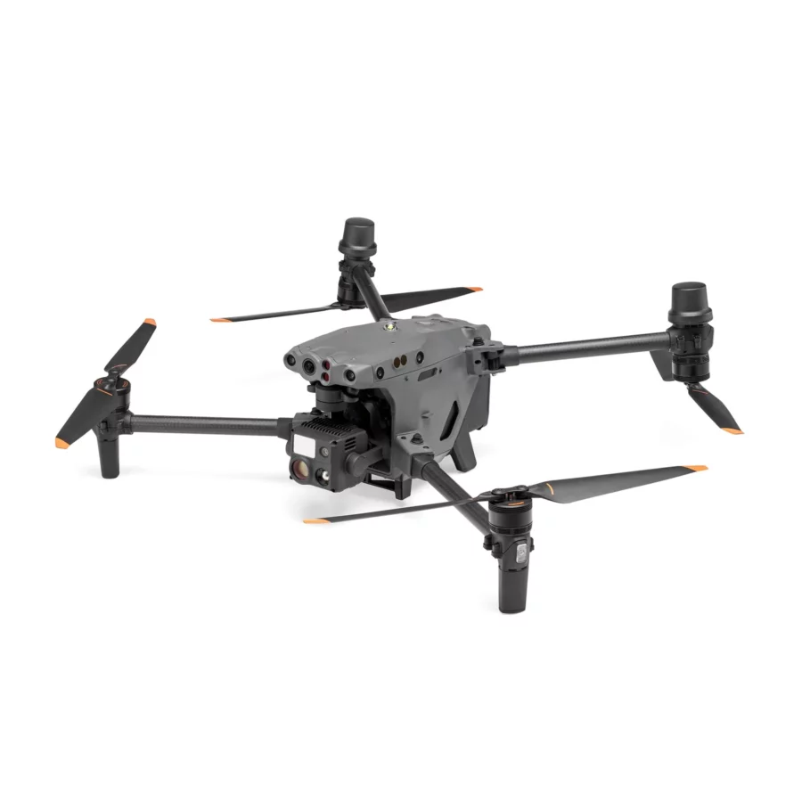
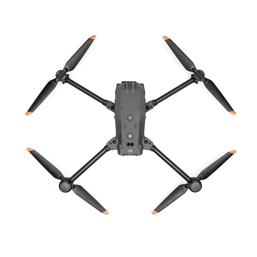
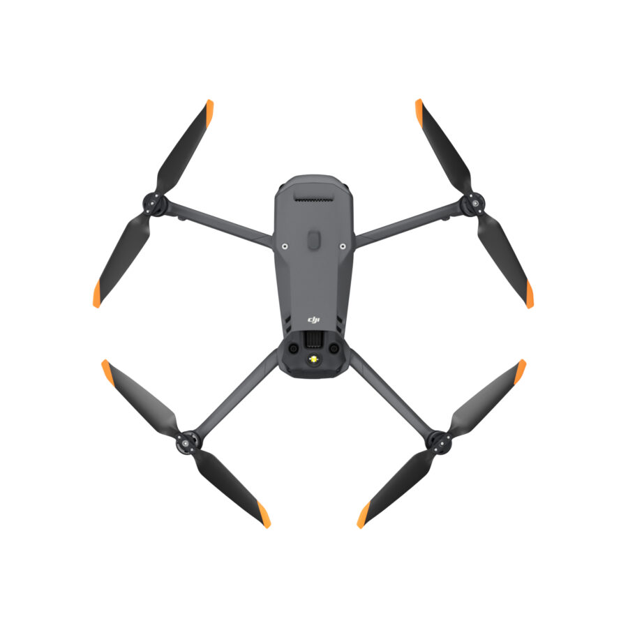
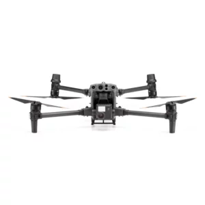
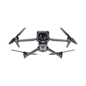
DJI Matrice M30T Enterprise Drone Camera
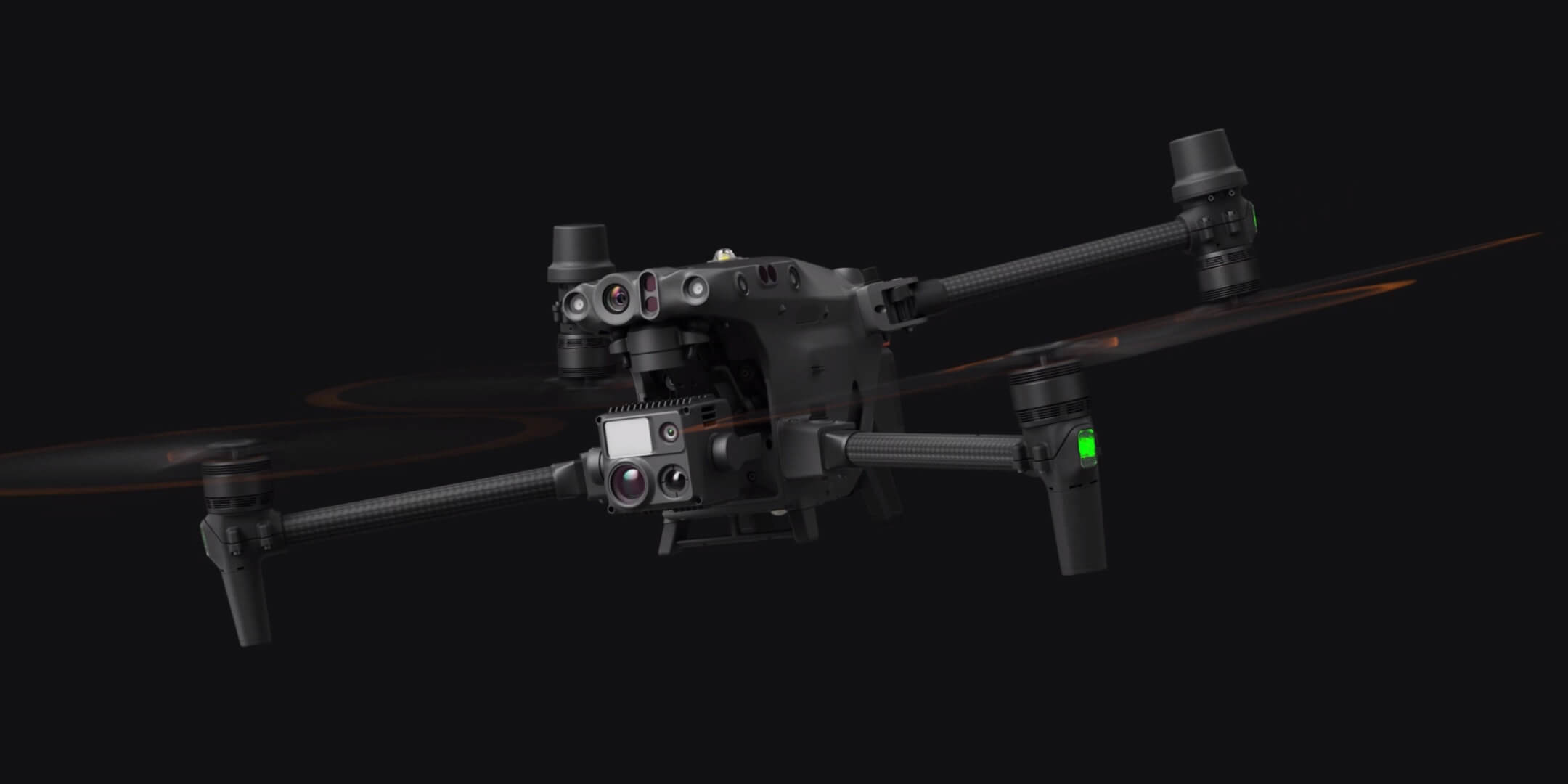
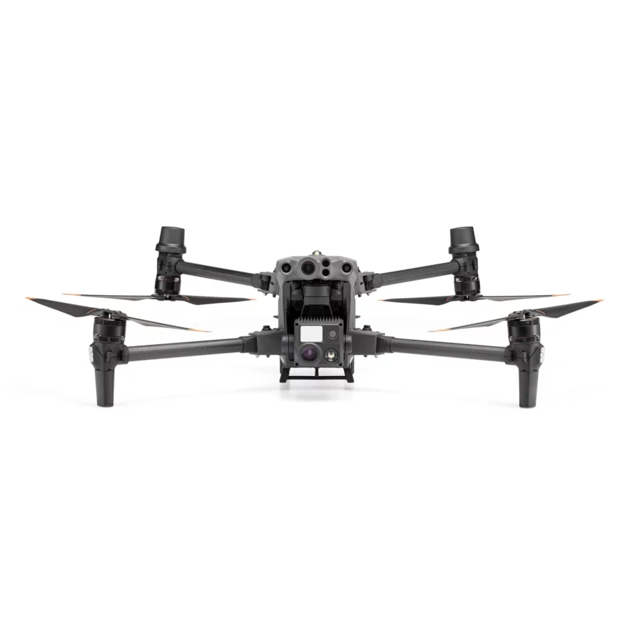
The DJI Matrice M30T Drone Camera is an aerial imaging solution for pros and hobbyists who want performance and versatility. Advanced technology in the M30T’s high-resolution camera takes 4K video and detailed stills from incredible heights. Its stabilized gimbal captures footage without shake during aggressive aircraft movements. Thermal imaging improves situational awareness, making the camera useful for search and rescue, surveillance, and environmental monitoring. The DJI Matrice M30T Drone Camera lets users discover new viewpoints and shoot breathtaking aerial images with intelligent flight modes, accurate controls, and a robust build. Whether for business or artistic use, the M30T redefines drone photography and filming.
Features of DJI Matrice M30T
| Feature | Description |
|---|---|
| Versatile Integration Capabilities | First and foremost, the DJI Matrice M30T seamlessly integrates with various enterprise applications. For example, it is suitable for aerial inspections, public safety, and environmental monitoring. Therefore, it serves multiple purposes across different industries effectively. |
| Comprehensive Advanced Imaging System | Additionally, the quad-sensor configuration combines high-resolution visual, thermal imaging, zoom function, and a laser rangefinder. As a result, this enables efficient data capture for enhanced analysis, providing users with comprehensive situational awareness. |
| Sophisticated Thermal Imaging | Moreover, the built-in thermal camera proves essential for search and rescue, firefighting, and infrastructure inspections. By identifying heat sources and measuring temperatures, it adds significant value to critical operations. |
| Powerful High-Magnification Zoom | Furthermore, the high magnification zoom camera allows detailed inspections from a safe distance. For instance, it is ideal for checking power lines, wind turbines, and other hard-to-reach assets without risking operator safety. |
| Enhanced Low-Light and Night Operations | In addition, superior imaging capabilities extend into low-light conditions. Consequently, the drone ensures reliable operation even at night, which is crucial for surveillance and monitoring tasks that occur after dark. |
| Durable and Robust Design | Notably, the rugged and weather-resistant construction guarantees reliability in challenging weather conditions. Therefore, it is well-suited for demanding field operations that require resilience and toughness. |
| Extended Flight Endurance | Thanks to an intelligent battery management system, the drone offers prolonged flight times. Thus, operators can undertake long-duration missions, surveys, and search and rescue operations without the need for frequent recharging, thereby maximizing productivity. |
| Omni-Directional Obstacle Sensing | The 360-degree obstacle sensing technology further enhances safety. By automatically detecting and avoiding obstacles, it improves flight safety significantly in complex environments, reducing the risk of accidents. |
| Reliable Advanced Dual-Transmission System | Moreover, the combination of 4G cellular networks and OcuSync 3.0 technology maintains stable communication. Consequently, this provides high-quality live video feeds over long distances, ensuring continuous control and real-time information transfer. |
| RTK-Enabled Precise Positioning | Additionally, Real-Time Kinematic (RTK) positioning guarantees centimeter-level navigational accuracy. Hence, it is perfect for precise surveying, mapping, and infrastructure inspections where exact positioning is critical. |
| Diverse Industry Applications | Given its versatility, the drone is ideal for a wide range of industries. These include utility inspections, public safety, emergency response, environmental conservation, and construction. Therefore, it offers exceptional performance and adaptability across diverse sectors. |
| Powerful Data Analysis Tools | In tandem with its hardware, the drone is accompanied by software solutions that transform complex data into actionable insights. As a result, this facilitates rapid processing and analysis, enabling more informed and timely decision-making. |
| Modular Payload Flexibility | Furthermore, its modular design allows for easy customization. Thus, additional sensors and tools can be integrated, ensuring the drone can be tailored to specific mission requirements and evolving operational needs. |
| Intelligent Automated Flight Modes | Included are intelligent flight modes such as automated waypoint navigation and dynamic subject tracking. Therefore, these features enhance mission efficiency by reducing the need for manual control, allowing operators to focus on critical tasks. |
| Enhanced GNSS Support for Reliable Navigation | Also, the drone supports multiple global navigation satellite systems, which maintain stable and accurate flight even in GPS-denied areas. This ensures reliable operation across challenging terrains and environments, boosting operational confidence. |
| Rapid Deployment for Immediate Action | Finally, the quick-release propellers and foldable structure enable fast setup and deployment. Consequently, the drone can be airborne within minutes, making it an excellent tool for addressing urgent situations where time is critical. |
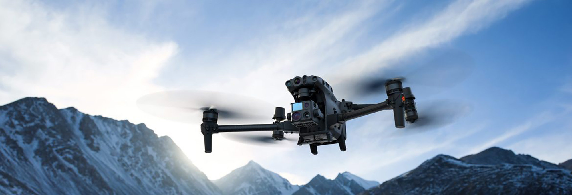
Environmental Adaptability
Boasting an IP55 rating, the DJI Matrice M30 is engineered to withstand the challenges of adverse weather conditions, ensuring reliable performance across a wide temperature spectrum, from -20°C to 50°C. This level of protection makes it a robust tool capable of operating in a variety of environmental conditions, from icy landscapes to scorching deserts.
Whether faced with rain, snow, or dust, the M30’s resilience guarantees that professional operations can continue without interruption, ensuring data collection and mission execution remain uncompromised. This adaptability and durability underscore the M30’s suitability for critical tasks in challenging terrains and climates, making it an invaluable asset for professionals requiring dependable aerial technology.
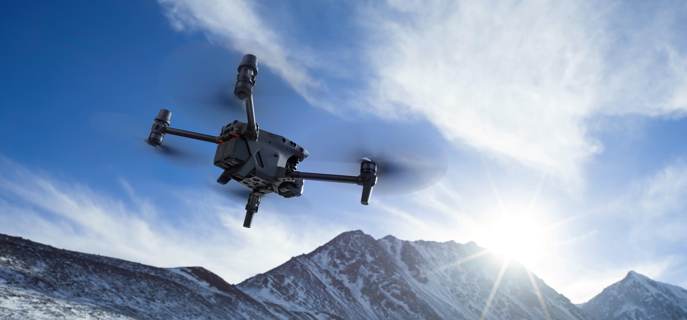
Redundancies and Backup Systems
The DJI Matrice M30 is equipped with sophisticated advanced redundancy systems, designed to ensure the continuity of critical missions under unforeseen circumstances. These built-in safeguards offer an extra layer of reliability, allowing the drone to maintain operational integrity and performance, even when faced with unexpected scenarios.
This feature underscores the M30’s commitment to providing dependable service, ensuring that crucial operations can proceed with minimal interruption, thereby enhancing the drone’s utility in high-stakes professional environments.
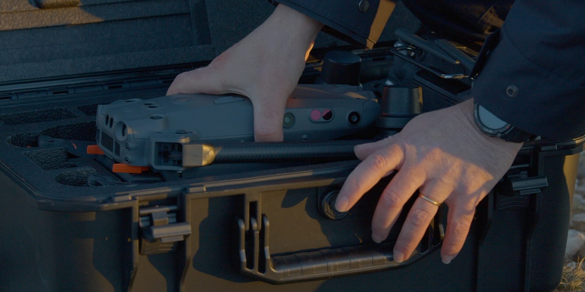
Lightweight and Portable
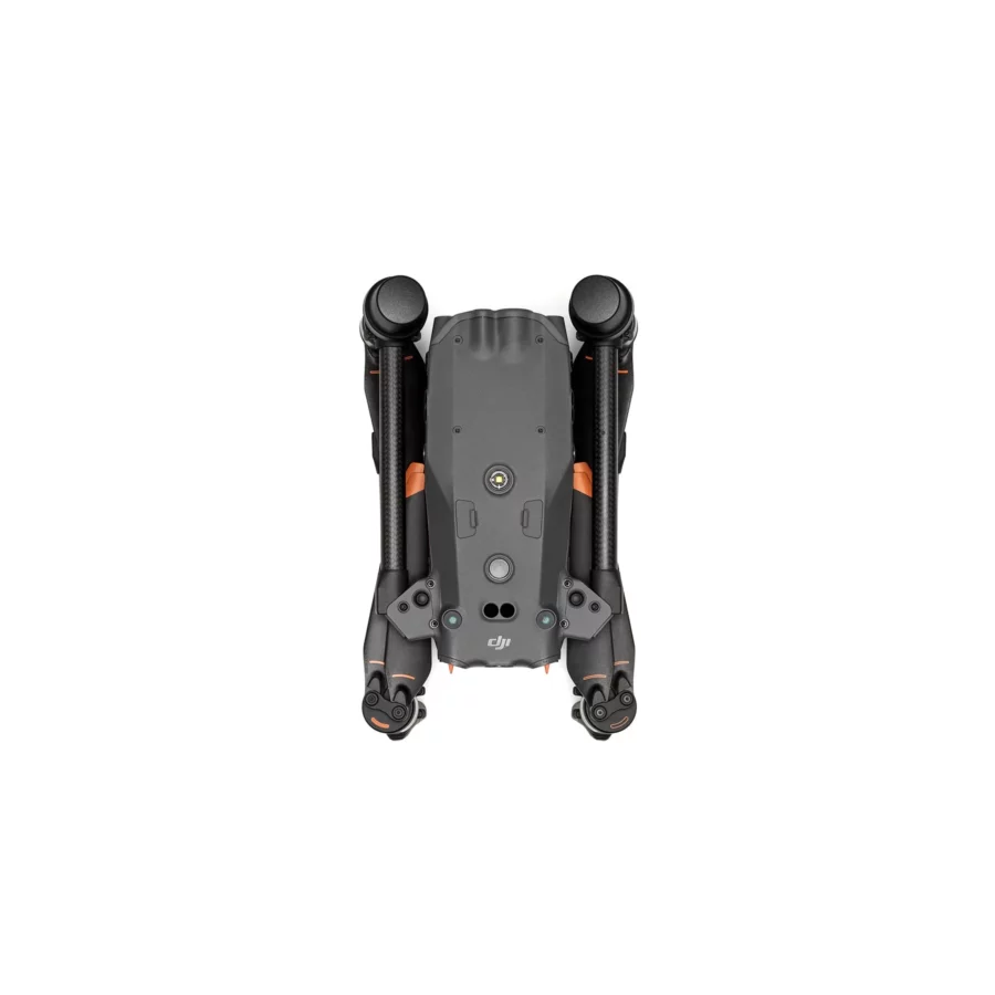
The DJI Matrice M30 epitomizes portability and ease of use in a compact design, weighing in under the threshold for easy transport. This lightweight drone is engineered for quick deployment and flexibility, allowing professionals to effortlessly carry and set it up wherever their missions take them. Its portability ensures that high-quality aerial capabilities are always within reach, ready to be unleashed at a moment’s notice for any critical operation.
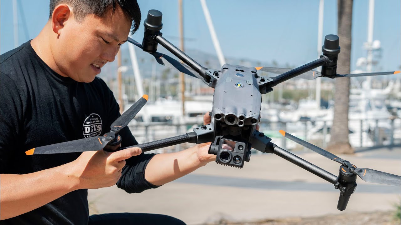
- Built For Commercial Drone Pilots: Crafted specifically for the demands of enterprise users, the DJI RC Plus stands out with its expansive 7-inch widescreen display, providing a clear, detailed view crucial for precise drone control. This controller introduces a dual control mode, enhancing collaboration and operational flexibility in the field. The DJI RC Plus is an essential tool for professionals seeking advanced control features and increased efficiency in their aerial missions, ensuring seamless, effective drone operations.
- Enterprise Environmental Adaptability: Boasting an IP54 rating, this device offers robust protection against water and dust, ensuring durability in challenging environments. Designed to operate seamlessly across a wide temperature range, from -20°C to 50°C, it’s equally adept in both scorching heat and freezing cold conditions. This resilience makes it an ideal choice for deployment in diverse climates, guaranteeing reliable performance whether in the dusty heat of a desert or the icy chill of a snow-covered landscape.
- Improved Stability and Battery Life: Designed specifically for enterprise users, the DJI RC Plus features a 7-inch widescreen, offering an expansive view for precise control. Its dual control mode enhances collaborative operations, allowing for seamless teamwork during critical missions. This tailor-made remote controller is an essential tool for professionals demanding high-level functionality and reliability in their operations.
- Extended Battery Life: The innovative internal and external battery configurations of the device ensure an impressive 6 hours of battery life, supporting prolonged use. Additionally, the capability to hot-swap batteries facilitates continuous, seamless flight operations, eliminating downtime and enhancing efficiency during extended missions or when maintaining consistent aerial coverage is crucial.
- Introducing the All-new DJI Pilot 2: The redesigned Enterprise flight interface significantly enhances piloting efficiency and flight safety. This intuitive upgrade streamlines navigation and control, providing pilots with a more responsive and user-friendly experience. The focus on improving operational efficiency and safety protocols ensures more reliable and secure flight missions, tailored to meet professional demands.
Ergonomic Design For Safety and Efficiency
Pilot 2 works seamlessly with the DJI RC Plus. Screenside and customizable buttons are all within reach and enable quick operations, such as adjusting camera views and dropping PinPoints.
DJI FlightHub 2
Ground-to-Cloud Synergy | Master Your Mission Environment
Mission Live Streaming: Connect multiple users to one or many drone operations simultaneously, and keep teams updated with the latest developments thanks to low latency, high-resolution live streaming.
FlightHub 2 offers a 2.5D Base Map for quick terrain awareness, One-Tap Panorama Sync for rapid site overviews, and Cloud Mapping for fast mapping in RGB or infrared.
Live Annotations: Highlight objects or areas of interest for efficient mission management and resource distribution. Annotations are visible to ground teams, pilots, or any team member for timely project alignment and task distribution
Streamlined Team Communication: Synchronize valuable information such as team position, drone status, mission details, and more, in real-time and across multiple device types, making team collaboration easier than ever.
BS30 Intelligent Battery Station: A smart, portable solution with multiple charging modes to meet your mission needs. Capable of charging four pairs of TB30 Intelligent Flight Batteries and one pair of RC Plus batteries, pairs are charged one at a time, with one pair taking just 30 minutes to charge from 20-90%.
TB30 Intelligent Flight Battery: Each battery supports self-heating for cold environments, hot-swapping for fast turnarounds, and 400 charge cycles for increased operational efficiency.
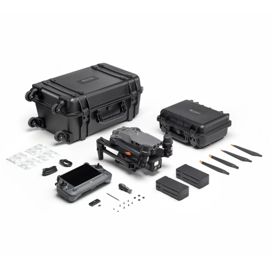
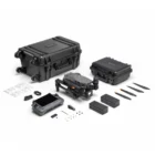
DJI Matrice M30T – In the Box
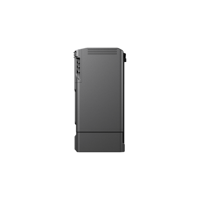
TB30 Battery
× 2
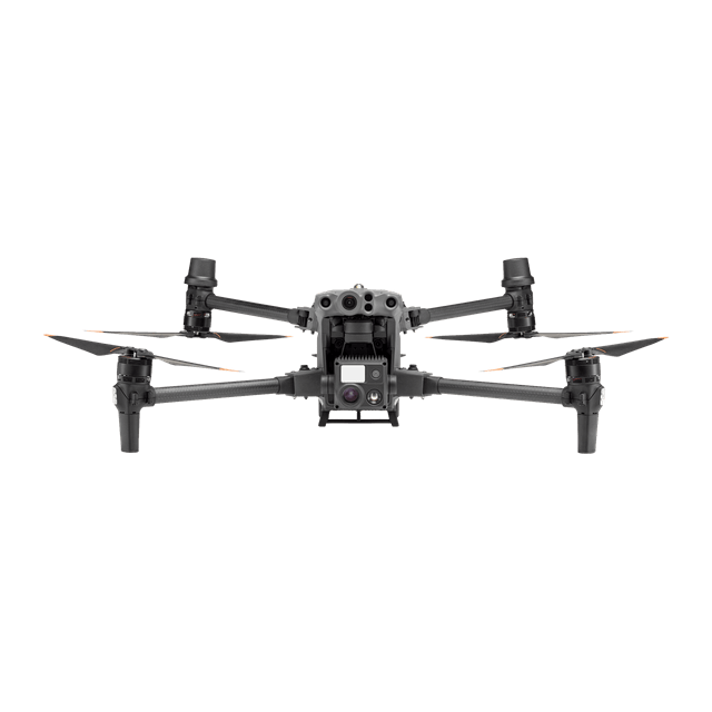
Aircraft Body
× 1
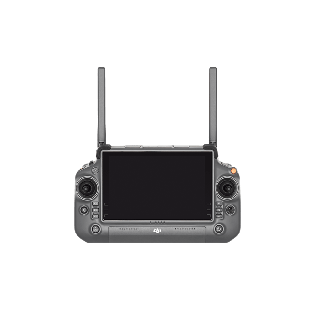
DJI RC Plus Remote Controller
× 1
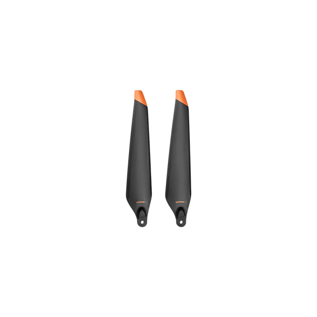
1671 Propeller (CW)
× 1
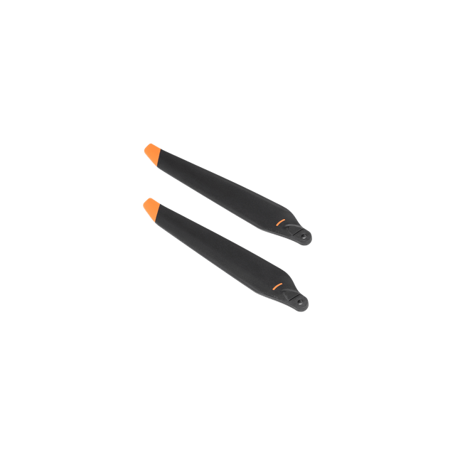
1671 Propeller (CCW)
× 1
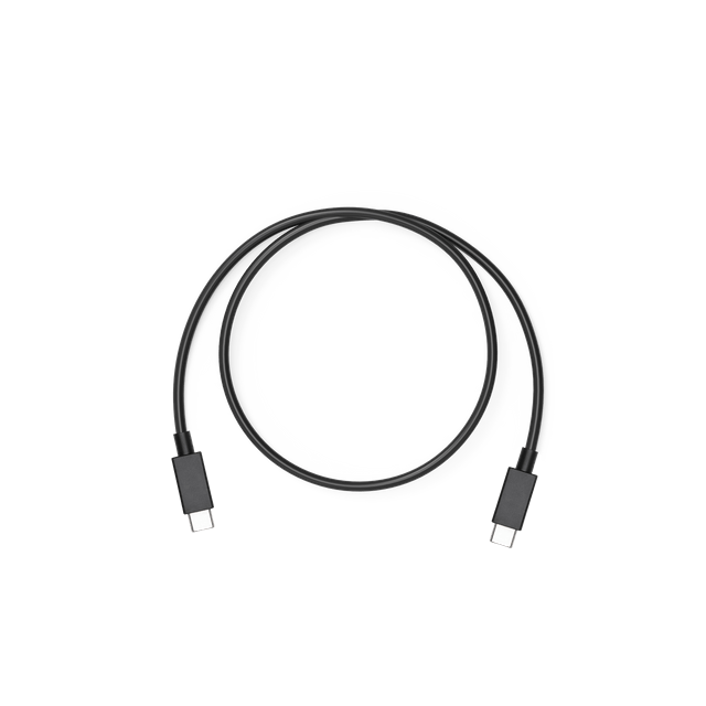
USB-C to USB-C Cable
× 1
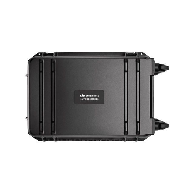
Carrying Case
× 1
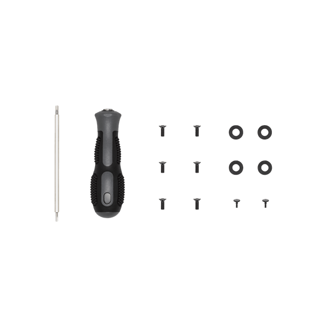
Screws and Tools
× 1
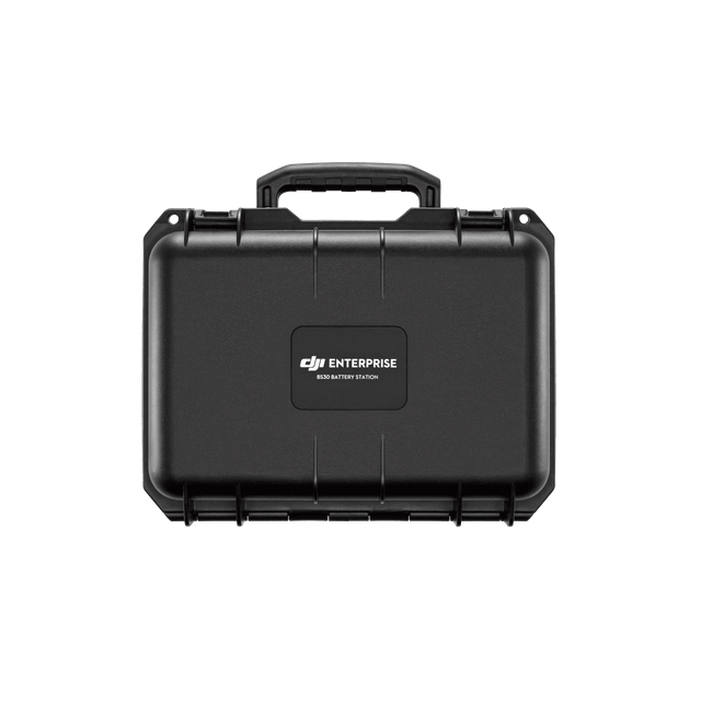
BS30 Battery station
× 1
Specifications of DJI Matrice M30T
General
| Feature | Specification |
|---|---|
| Dimensions (folded) | Measuring 365 × 215 × 195 mm (Length × Width × Height), the compact folded size facilitates easy transport and storage. |
| Diagonal Wheelbase | With a diagonal wheelbase of 668 mm, the design balances stability and maneuverability. |
| Weight (including two batteries) | Weighing approximately 3770 ± 10 g, it offers a lightweight yet robust build suitable for various operational demands. |
| Max Takeoff Weight | The maximum takeoff weight is 4000 g, enabling it to carry essential payloads without compromising performance. |
| Operation Frequency | Operating across frequencies 2.4000–2.4835 GHz and 5.725–5.850 GHz, it ensures reliable communication and control within regulated bands. |
| Transmitter Power (EIRP) | At 2.4 GHz, it transmits at less than 33 dBm (FCC) and less than 20 dBm (CE/SRRC/MIC); at 5.8 GHz, power is under 33 dBm (FCC/SRRC) and below 14 dBm (CE), optimizing signal strength according to regional standards. |
| Hovering Accuracy (windless or breezy) | Notably, the vertical hovering accuracy reaches ±0.1 m with Vision System enabled, ±0.5 m in N-mode with GPS, and ±0.1 m with RTK. Meanwhile, horizontal accuracy is ±0.3 m (Vision System), ±1.5 m (N-mode with GPS), and ±0.1 m (RTK), allowing precise positioning. |
| RTK Positioning Accuracy (fixed RTK enabled) | When fixed RTK is enabled, it achieves exceptional accuracy of 1 cm + 1 ppm horizontally and 1.5 cm + 1 ppm vertically, critical for precision tasks. |
| Max Angular Velocity | The drone can pitch up to 150° per second and yaw at 100° per second, enabling agile maneuvering during complex operations. |
| Max Tilt Angle | It can tilt up to 35°, though with N-mode and Forward Vision System enabled, this is limited to 25°, balancing speed and obstacle awareness. |
| Max Ascent/Descent Speed | Its maximum ascent speed is 6 m/s, while descent speed reaches 5 m/s, facilitating rapid altitude changes. |
| Max Tilt Descent Speed | Additionally, the maximum tilt descent speed is 7 m/s, supporting quick and controlled descents. |
| Max Horizontal Speed | The drone can reach speeds up to 23 m/s, ideal for covering large areas swiftly. |
| Max Service Ceiling Above Sea Level | Depending on the propellers used, the maximum service ceiling is 5,000 m with 1671 propellers, or 7,000 m with 1676 propellers, enabling high-altitude operations. |
| Max Wind Resistance | It withstands winds up to 15 m/s generally, and up to 12 m/s during takeoff and landing, maintaining stability in challenging conditions. |
| Max Hover Time | The drone offers a maximum hover time of 36 minutes, providing sufficient duration for stationary tasks. |
| Max Flight Time | With optimal conditions, the maximum flight time can reach 41 minutes, maximizing mission efficiency. |
| Motor Model | Equipped with the 3511 motor model, the drone ensures powerful and reliable propulsion. |
| Propeller Model | Compatible with 1671 and 1676 High Altitude propellers (the latter not included), allowing adaptability for different altitude requirements. |
| Ingress Protection Rating | Rated IP55, it resists dust and water splashes, enhancing durability in harsh environments. |
| GNSS | Supports multiple satellite systems including GPS, Galileo, BeiDou, and GLONASS (the latter only enabled with RTK module), ensuring reliable and accurate positioning worldwide. |
| Operating Temperature | Designed to function reliably in temperatures ranging from -20° to 50° C (-4° to 122° F), making it suitable for a wide variety of climates and weather conditions. |
Get the best deals on DJI Matrice M30T Enterprise Drone Camera at XBOOM.
Gimbal
| Angular Vibration Range | ±0.01° |
| Controllable Range | Pan: ±90°Tilt: -120° to +45° |
| Mechanical Range | Pan: ±105°Tilt: -135° to +60°
Roll: ±45° |
Zoom Camera
| Sensor | 1/2 CMOS |
| Lens | Focal length: 21-75 mm (equivalent: 113-405 mm)Aperture: f/2.8-f/4.2
Focus: 5 m to ∞ |
Wide Camera
| Sensor | 1/2 CMOS |
| Lens | DFOV: 84°Focal length: 4.5 mm (equivalent: 24 mm)
Aperture: f/2.8 Focus: 1 m to ∞ |
Thermal Camera
| Thermal Imager | Uncooled VOx Microbolometer |
| Lens | DFOV: 64°Focal length: 9.1 mm (equivalent: 40 mm)
Aperture: f/1.0 Focus: 5 m to ∞ |
| Infrared Temperature Measurement Accuracy[4] | ±2°C or ±2% (using the larger value) |
Wi-Fi
| Protocol | Wi-Fi 6 |
| Operating Frequency[1] | 2.4000-2.4835 GHz; 5.150-5.250 GHz; 5.725-5.850 GHz |
| Transmitter Power (EIRP) | 2.4 GHz: <26 dBm (FCC); <20 dBm (CE/ SRRC/MIC)5.1 GHz: <26 dBm (FCC); <23 dBm (CE/ SRRC/MIC)
5.8 GHz: <26 dBm (FCC/SRRC); <14 dBm(CE) |
FPV Camera
| Resolution | 1920×1080 |
| DFOV | 161° |
| Frame Rate | 30 fps |
| Laser Module | |
| Wavelength | 905 nm |
| Max Laser Power | 3.5 mW |
| Single Pulse Width | 6 ns |
| Measurement Accuracy | ± (0.2 m + D×0.15%)D is the distance to a vertical surface |
| Measuring Range | 3-1,200 m (0.5×12 m vertical surface with 20% reflectivity) |
Get the best deals on DJI Matrice M30T Enterprise Drone Camera at XBOOM.
Vision Systems
| Obstacle Sensing Range | Forward: 0.6-38 mUpward/Downward/Backward/Sideward: 0.5-33 m |
| FOV | 65° (H), 50° (V) |
| Operating Environment | Surfaces with clear patterns and adequate lighting (> 15 lux) |
| Infrared Sensing Systems | |
| Obstacle Sensing Range | 0.1 to 10 m |
| FOV | 30° |
| Operating Environment | Large, diffuse, and reflective obstacles (reflectivity >10%) |
TB30 Intelligent Flight Battery
| Category | Specification |
|---|---|
| Dimensions (folded) | 365 × 215 × 195 mm (L × W × H) |
| Diagonal Wheelbase | 668 mm |
| Weight (incl. two batteries) | 3770 ± 10 g |
| Max Takeoff Weight | 4000 g |
| Operation Frequency | 2.4000–2.4835 GHz; 5.725–5.850 GHz |
| Transmitter Power (EIRP) | 2.4 GHz: <33 dBm (FCC); <20 dBm (CE/SRRC/MIC) 5.8 GHz: <33 dBm (FCC/SRRC); <14 dBm (CE) |
| Hovering Accuracy | Vertical: ±0.1 m (Vision System), ±0.5 m (N-mode GPS), ±0.1 m (RTK) Horizontal: ±0.3 m (Vision System), ±1.5 m (N-mode GPS), ±0.1 m (RTK) |
| RTK Positioning Accuracy | Horizontal: 1 cm + 1 ppm Vertical: 1.5 cm + 1 ppm |
| Max Angular Velocity | Pitch: 150°/sec Yaw: 100°/sec |
| Max Tilt Angle | 35° (N-mode & Forward Vision enabled: 25°) |
| Max Ascent Speed | 6 m/s |
| Max Descent Speed | 5 m/s |
| Max Tilt Descent Speed | 7 m/s |
| Max Horizontal Speed | 23 m/s |
| Max Service Ceiling | 5,000 m (with 1671 props) 7,000 m (with 1676 props) |
| Max Wind Resistance | 15 m/s (general) 12 m/s (takeoff & landing) |
| Max Hover Time | 36 min |
| Max Flight Time | 41 min |
| Motor Model | 3511 |
| Propeller Model | 1671 (standard), 1676 High Altitude (not included) |
| Ingress Protection | IP55 |
| GNSS | GPS + Galileo + BeiDou + GLONASS (GLONASS only with RTK) |
| Operating Temperature | -20° to 50° C (-4° to 122° F) |
| Gimbal | |
|---|---|
| Angular Vibration Range | ±0.01° |
| Controllable Range | Pan: ±90° Tilt: -120° to +45° |
| Mechanical Range | Pan: ±105° Tilt: -135° to +60° Roll: ±45° |
| Zoom Camera | |
|---|---|
| Sensor | 1/2″ CMOS |
| Lens | Focal Length: 21–75 mm (equiv. 113–405 mm) Aperture: f/2.8–f/4.2 |
| Focus Range | 5 m to ∞ |
| Wide Camera | |
|---|---|
| Sensor | 1/2″ CMOS |
| Lens | DFOV: 84° Focal Length: 4.5 mm (equiv. 24 mm) Aperture: f/2.8 |
| Focus Range | 1 m to ∞ |
| Thermal Camera | |
|---|---|
| Thermal Imager | Uncooled VOx Microbolometer |
| Lens | DFOV: 64° Focal Length: 9.1 mm (equiv. 40 mm) Aperture: f/1.0 |
| Focus Range | 5 m to ∞ |
| Infrared Temp. Accuracy | ±2°C or ±2% (whichever is larger) |
| FPV Camera | |
|---|---|
| Resolution | 1920 × 1080 |
| DFOV | 161° |
| Frame Rate | 30 fps |
| Laser Module | |
|---|---|
| Wavelength | 905 nm |
| Max Laser Power | 3.5 mW |
| Single Pulse Width | 6 ns |
| Measurement Accuracy | ± (0.2 m + D × 0.15%), where D = distance to vertical surface |
| Measuring Range | 3–1,200 m (0.5 × 12 m vertical surface with 20% reflectivity) |
| Vision Systems | |
|---|---|
| Obstacle Sensing Range | Forward: 0.6–38 m Upward/Downward/Backward/Sideward: 0.5–33 m |
| FOV | 65° (H), 50° (V) |
| Operating Environment | Surfaces with clear patterns & adequate lighting (> 15 lux) |
| Infrared Sensing Systems | |
|---|---|
| Obstacle Sensing Range | 0.1 to 10 m |
| FOV | 30° |
| Operating Environment | Large, diffuse, reflective obstacles (reflectivity > 10%) |
| TB30 Intelligent Flight Battery | |
|---|---|
| Capacity | 5880 mAh |
| Voltage | 26.1 V |
| Battery Type | LiPo 6S |
| Energy | 131.6 Wh |
| Net Weight | Approx. 685 g |
| Operating Temperature | -20° to 50° C (-4° to 122° F) |
| Storage Temperature | 20° to 30° C (68° to 86° F) |
| Charging Temperature | -20° to 40° C (-4° to 104° F) Self-heating enabled below 10°C |
| Chemical System | LiNiMnCoO2 |
Get the best deals on DJI Matrice M30T Enterprise Drone Camera at XBOOM.
Auxiliary Lights
| Effective Illumination Distance | 5 m |
| Illumination Type | 60 Hz, solid glow |
| Remote Controller | |
| Screen | 7.02 inch LCD touchscreen, with a resolution of 1920×1200 pixels, and high brightness of 1200 cd/m2 |
| Internal Battery | Type: Li-ion (6500 mAh @ 7.2 V)Charge Type: Supports battery station or USB-C charger maximum rated power 65W (max voltage of 20V)
Charge Time: 2 hours Chemical System: LiNiCoAIO2 |
| External Battery(WB37 Intelligent Battery) | Capacity: 4920 mAhVoltage: 7.6 V
Battery Type: Li-ion Energy: 37.39 Wh Chemical System: LiCoO2 |
| Operating Time[5] | Internal Battery: Approx. 3 hours 18 minInternal Battery + External Battery: Approx. 6 hours |
| Ingress Protection Rating[3] | IP54 |
| GNSS | GPS+Galileo+BeiDou |
| Operating Temperature | -20° to 50° C (-4° to 122° F) |
O3 Enterprise
| Operating Frequency[1] | 2.4000-2.4835 GHz, 5.725-5.850 GHz |
| Max Transmission Distance (unobstructed, free of interference) | 2.4000-2.4835 GHz: 15 km (FCC); 8 km (CE/SRRC/MIC) |
| Max Transmission Distance (with interference) | Strong Interference (urban landscape, limited line of sight, many competing signals): 1.5-3 km (FCC/CE/SRRC/MIC)Medium Interference (suburban landscape, open line of sight, some competing signals): 3-9 km (FCC); 3-6 km (CE/SRRC/ MIC)
Weak Interference (open landscape abundant line of sight, few competing signals): 9-15 km (FCC); 6-8 km (CE/ SRRC/MIC) |
| Transmitter Power (EIRP) | 2.4 GHz: <33 dBm (FCC); <20 dBm (CE/ SRRC/MIC)5.8 GHz: <33 dBm (FCC); <14 dBm (CE); <23 dBm (SRRC) |
Bluetooth
| Protocol | Bluetooth 5.1 |
| Operating Frequency | 2.4000-2.4835 GHz |
| Transmitter Power (EIRP) | <10 dBm |
| BS30 Intelligent Battery Station | |
| Dimensions | 353×267×148 mm |
| Net Weight | 3.95 kg |
| Compatible Battery Type | TB30 Intelligent Flight BatteryWB37 Intelligent Battery |
| Input | 100-240 VAC, 50/60 Hz |
| Output | TB30 Battery Port: 26.1 V, 8.9 A (supported up to two outputs simultaneously)WB37 Intelligent Battery: 8.7 V, 6 A |
| Output Power | 525 W |
| USB-C port | Max. output power of 65 W |
| USB-A port | Max. output power of 10 W (5 V, 2 A) |
| Power Consumption (when not charging battery) | < 8 W |
| Output Power (when warming up battery) | Approx. 30 W |
| Operating Temperature | -20° to 40° C (-4° to 104° F) |
| Ingress Protection Rating[3] | IP55 (with the cover closed properly) |
| Charging Time[6] | Approx. 30 min (charging two TB30 batteries from 20%-90%)Approx. 50 min (charging two TB30 batteries from 0%-100%) |
| Protection Features | Anti-Backflow ProtectionShort Circuit Protection
Over Voltage Protection Over Current Protection Temperature Protection |
Other
| Footnotes | [1] 5.8 and 5.1GHz frequencies are prohibited in some countries. In some countries, the 5.1GHz frequency is only allowed for use indoors.[2] The maximum flight time and the hover time were tested in a lab environment and is for reference only.
[3] This protection rating is not permanent and may reduce over time after long-term use. [4] Infrared temperature measurement accuracy was tested in a lab environment and is for reference only. [5] The maximum operating time was tested in a lab environment and is for reference only. [6] The charging time was tested in a lab environment at room temperature. The value provided should be used for reference only. |
Read More
In the rapidly evolving landscape of drone technology, the DJI Matrice M30T emerges as a beacon of innovation, reliability, and performance. Designed to meet the rigorous demands of modern enterprises, this advanced drone camera available on xboom.in, sets a new standard for aerial operations across various industries, including public safety, inspection, and environmental monitoring. The DJI Matrice M30T is not just a drone; it’s a comprehensive solution that ensures mission success through its unparalleled capabilities and versatility.
Unmatched Aerial Capabilities with DJI Matrice M30T
The DJI Matrice M30T stands out in the world of enterprise drones, offering a unique combination of advanced imaging technology and robust flight performance. Equipped with a multi-sensor payload that includes thermal imaging, zoom, and wide-angle cameras, the M30T provides operators with critical insights in real-time, making it an invaluable tool for a wide range of applications.
Why the DJI Matrice M30T?
Choosing the DJI Matrice M30T means selecting a drone that is at the forefront of aerial innovation. Its integrated high-resolution thermal sensor and powerful zoom capabilities allow users to conduct detailed inspections and operations from a safe distance, minimizing risk while maximizing efficiency. Whether it’s monitoring critical infrastructure, responding to emergencies, or conducting environmental assessments, the M30T delivers unparalleled aerial intelligence.
Advanced Imaging for Enhanced Decision Making
The core of the DJI Matrice M30T’s excellence lies in its advanced imaging system. The drone’s thermal imaging capabilities are essential for operations in challenging conditions, offering the ability to detect heat signatures in complete darkness or through obstructions such as smoke. Coupled with its high-zoom and wide-angle visual sensors, the M30T provides a comprehensive view of the operational environment, enhancing decision-making and operational outcomes.
Rugged Design for Demanding Environments
Designed to withstand the rigors of demanding environments, the DJI Matrice M30T features a rugged build that ensures reliability in a variety of conditions. Its weather-resistant design allows for operations in adverse weather, including rain and high winds, ensuring that your missions can proceed without interruption, regardless of the external conditions.
Seamless Integration and Operational Efficiency
The DJI Matrice M30T is engineered for seamless integration into professional workflows. With DJI’s advanced flight control and data management software, operators can plan missions, execute complex flight patterns, and manage the collected data with efficiency and ease. This streamlined workflow significantly reduces operational times and enhances the overall efficiency of aerial operations.
Elevating Safety and Public Service Operations
The DJI Matrice M30T excels in applications focused on safety and public service. For search and rescue operations, disaster response, or law enforcement activities, the M30T provides critical aerial insights that can save lives and protect property. Its ability to quickly assess situations and provide real-time data to decision-makers is unmatched, making it an essential asset for any public safety organization.
Why xboom.in is Your Go-To Source for DJI Matrice M30T
Opting for xboom.in for your DJI Matrice M30T purchase not only guarantees access to genuine DJI products but also ensures comprehensive support and service. xboom.in is committed to equipping professionals with the tools they need to succeed, offering expert advice, competitive pricing, and after-sales support tailored to the unique needs of enterprise drone operations.
Future-Proofing Your Aerial Operations
Investing in the DJI Matrice M30T is an investment in the future of your aerial operations. As industries continue to recognize the value of drone technology, the M30T stands ready to meet the evolving demands with its advanced capabilities, reliability, and ease of use. Its versatility makes it a valuable asset for any organization looking to enhance operational efficiency, safety, and decision-making through aerial intelligence.
Conclusion: A New Era of Enterprise Drone Operations with DJI Matrice M30T
The DJI Matrice M30T, available on xboom.in, signifies a new era in enterprise drone operations. With its advanced imaging technology, rugged design, and operational efficiency, the M30T is the ultimate tool for professionals across a variety of industries. Whether for critical missions or routine inspections, the DJI Matrice M30T offers the performance, reliability, and versatility needed to achieve mission success.
Embrace the future of enterprise drone technology with the DJI Matrice M30T. Visit xboom.in today and discover how this innovative drone camera can transform your operations and elevate your capabilities to new heights.
FAQ's on DJI Matrice M30T
What unique capabilities does the DJI Matrice M30T offer for enterprise operations?
The DJI Matrice M30T is specifically designed with enterprise operations in mind. Moreover, it features integrated thermal and visual cameras for comprehensive data capture. In addition, it boasts advanced obstacle avoidance, which ensures safer flight in complex environments.
- Furthermore, its IP55 weather resistance guarantees reliability even in adverse weather conditions. Consequently, its versatility makes it suitable for a wide range of applications, including search and rescue, infrastructure inspection, and environmental monitoring.
Can the DJI Matrice M30T operate in extreme weather conditions?
Yes, the DJI Matrice M30T is indeed built to withstand extreme weather. For instance, its IP55 rating ensures water and dust resistance, making it highly durable.
- Additionally, it can operate in temperatures ranging from -20°C to 50°C, thus making it capable of flying in both hot and cold climates without compromising performance.
What is the flight time of the DJI Matrice M30T?
The DJI Matrice M30T offers an extended flight time, which allows operators to conduct longer missions with fewer interruptions
- . Although specific flight times may vary based on conditions and payload, the M30T’s efficient design and advanced battery system ensure substantial operational duration. Therefore, users can rely on it for comprehensive data collection during extended missions.
How does the dual control mode enhance the DJI Matrice M30T’s usability?
The dual control mode on the DJI Matrice M30T permits two operators to control the drone simultaneously. Specifically, one pilot manages the drone’s flight, while the other operates the camera and sensors.
- As a result, this feature significantly enhances mission efficiency and safety by providing greater precision in data capture and maneuverability during complex operations.
What kind of data can the DJI Matrice M30T capture?
Equipped with a quad-sensor payload, the DJI Matrice M30T includes thermal and high-resolution visual cameras, along with a laser rangefinder.
- Consequently, it can capture a wide range of data types, such as thermal imagery, detailed photographic and video recordings, and precise distance measurements. Thus, it supports diverse analytical needs across various industries.
Is the DJI Matrice M30T easy to transport and deploy?
Yes, the DJI Matrice M30T is designed for portability and quick deployment. For example, its compact size, lightweight design, and quick-release propellers make it easy to transport and set up.
- Therefore, operators can respond quickly to mission requirements without extensive preparation or delay.
What makes the DJI Matrice M30T suitable for search and rescue missions?
The DJI Matrice M30T’s thermal imaging capabilities, combined with its extended flight time and advanced navigation systems, make it an invaluable tool for search and rescue operations. Moreover,
- It can quickly cover large areas and identify heat signatures indicative of human presence. Additionally, it is capable of operating in challenging weather conditions, which ultimately enhances the effectiveness of search and rescue efforts.
















There are no reviews yet.