What is LIDAR?
Light Detection and Ranging
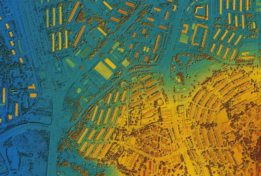
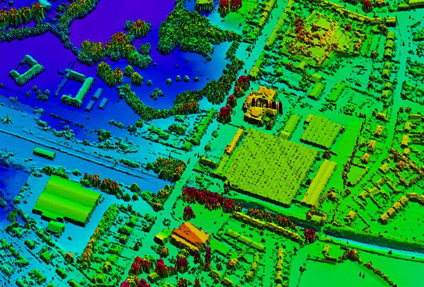
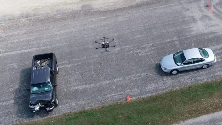
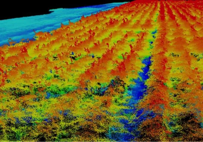
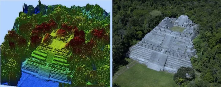
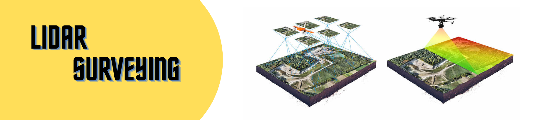
LIDAR surveying (Light Detection and Ranging) is a technology that uses lasers to measure distance to objects or surfaces. Typically, LIDAR sensors mount on platforms such as drones or cars. These sensors emit lasers that bounce off objects and return to the sensor. By measuring the time it takes for the lasers to return, the sensor calculates the distance. As a result, it creates a detailed 3D map of the surrounding area.
LIDAR serves various applications, including mapping, surveying, self-driving cars, and robotics. In particular, it excels where high accuracy and precision matter. This is because LIDAR sensors capture detailed 3D data with millimetre-level accuracy.
Often, LIDAR works alongside other sensors, such as cameras and radar, to provide a more comprehensive view. Additionally, it supplements GPS data, which can suffer errors in some environments.