
Read More
Revolutionizing Precision: Explore Lidar & Multispectral Solutions at Xboom
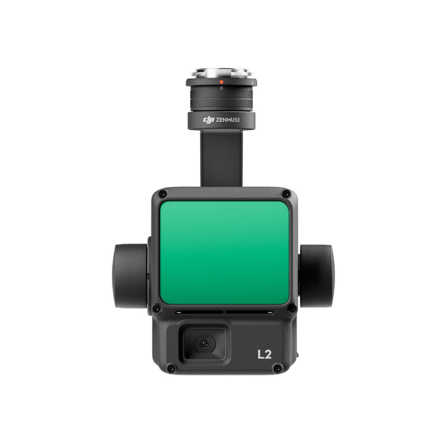
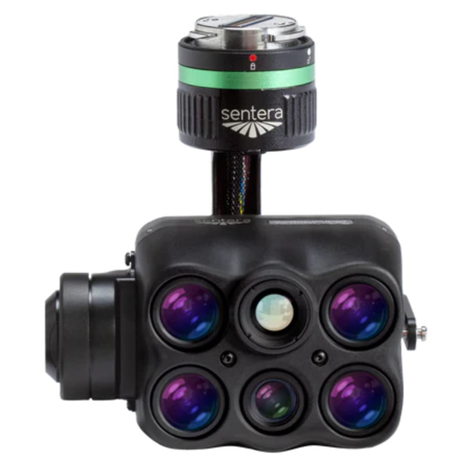
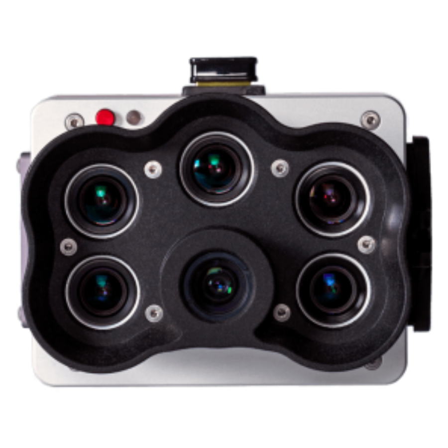
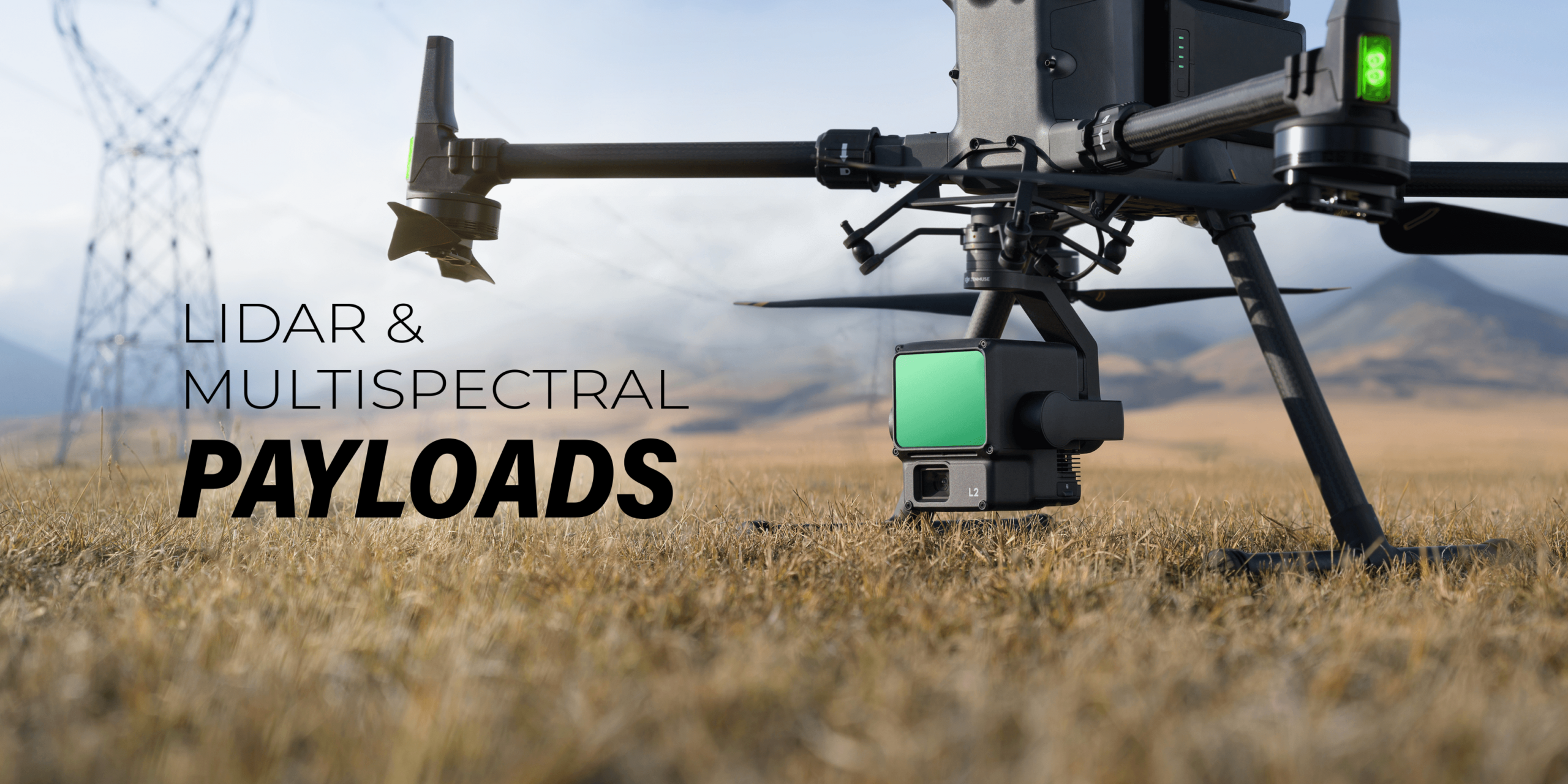
In the world of advanced aerial surveying and mapping technologies, “Lidar & Multispectral” systems stand out for their unparalleled precision and versatility. At Xboom, we take pride in offering an elite range of Lidar & Multispectral payloads, designed to cater to the evolving needs of geospatial professionals, environmental researchers, and agricultural innovators across India. Discover how our cutting-edge solutions are setting new standards in data accuracy and analysis efficiency.
Unveiling the Power of Lidar & Multispectral Technology
Lidar & Multispectral technologies are at the forefront of revolutionizing data collection and analysis across numerous sectors. By combining the high-resolution terrain mapping capabilities of Lidar (Light Detection and Ranging) with the detailed environmental monitoring afforded by multispectral imaging, these systems offer a comprehensive view of the physical and biological landscape.
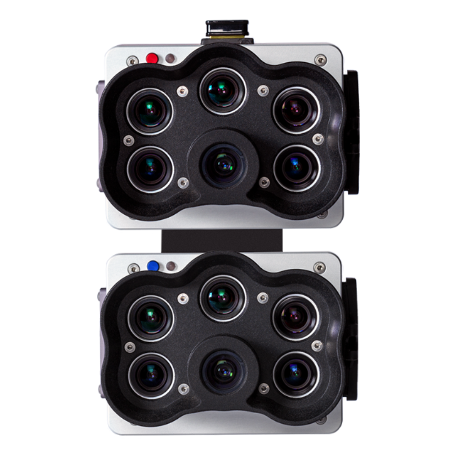
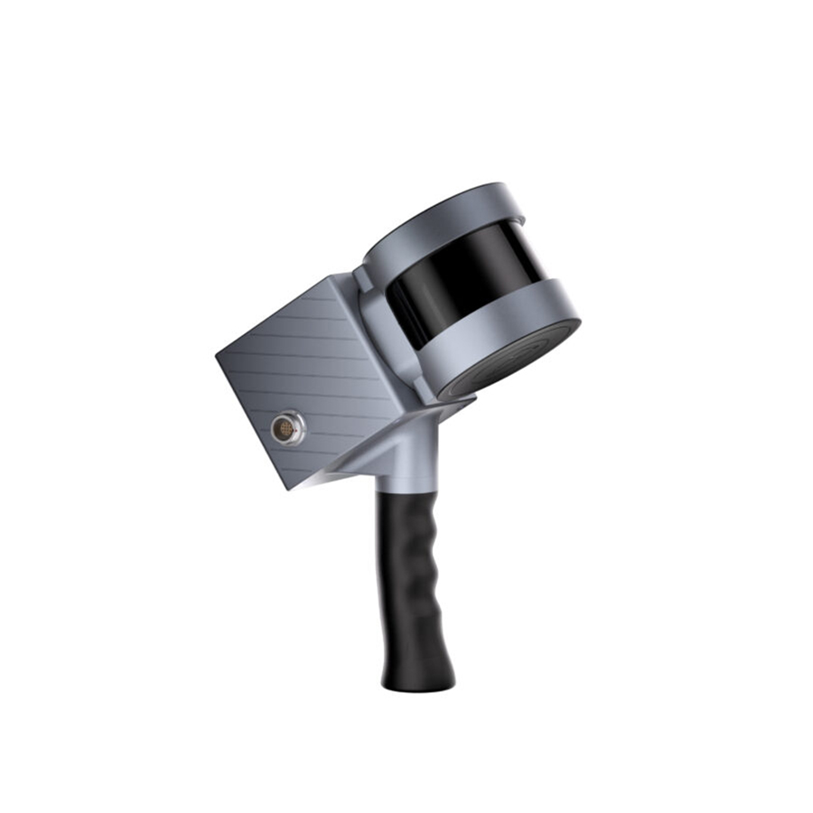
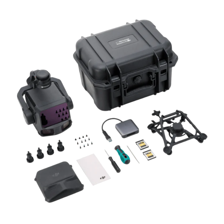
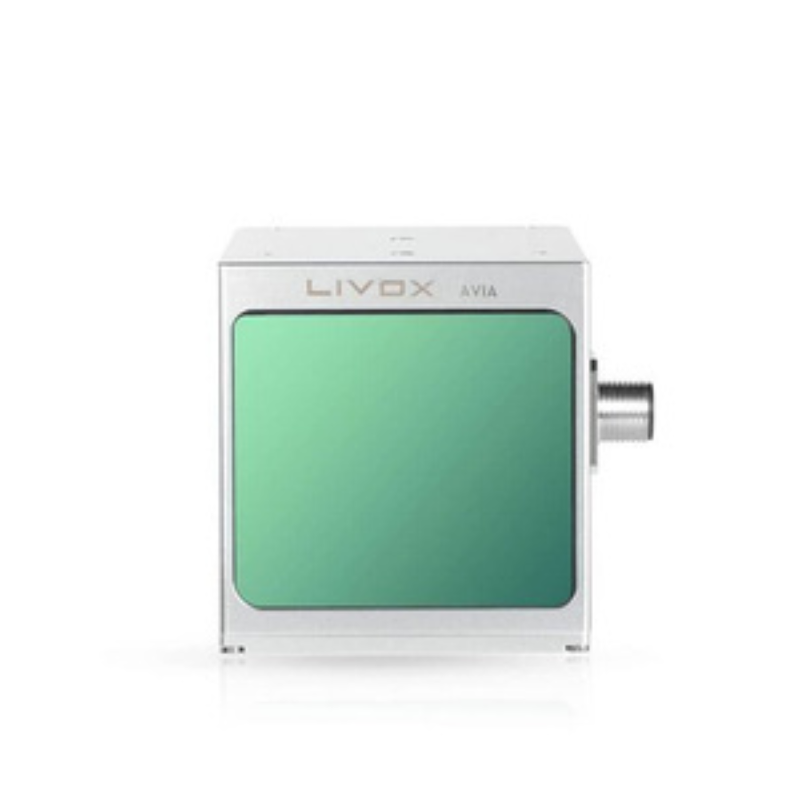
Whether it’s for managing natural resources, enhancing agricultural productivity, or conducting urban planning, our Lidar & Multispectral drone cameras provide insights that go beyond what the eye can see. They enable precise measurement of distances, analysis of plant health, and the creation of detailed 3D models of the terrain.
Why Choose Lidar & Multispectral Payloads from Xboom?
At Xboom, we understand the critical role that accurate and reliable data plays in making informed decisions. That’s why our Lidar & Multispectral payloads are carefully selected to meet the highest standards of quality and performance.
- Versatility: Our range includes models that are perfect for various applications, from agriculture and forestry to mining and construction.
- Precision: With state-of-the-art Lidar & Multispectral drone cameras, you can expect unparalleled accuracy in every scan and image captured.
- Ease of Integration: Designed to be compatible with a wide range of drones, our payloads ensure a seamless setup process, allowing you to start your projects without delay.
- Support and Service: When you choose Xboom, you’re not just buying a product; you’re gaining a partner. Our team of experts is always ready to provide support and advice, ensuring you get the most out of your Lidar & Multispectral technology.
Lidar & Multispectral Payload: Buy in India with Confidence
As the demand for advanced aerial surveying and mapping solutions grows in India, Xboom remains committed to making top-tier Lidar & Multispectral technology accessible. We offer competitive Lidar & Multispectral Payload prices, ensuring that you can equip your operations with the best tools without exceeding your budget.
Our commitment to bringing the latest advancements in Lidar & Multispectral payloads to the Indian market means you have access to global technology right at your doorstep. With detailed product descriptions, specifications, and customer reviews, making an informed purchase decision has never been easier.
Maximizing Value: Lidar & Multispectral Payload Price India
Investing in a Lidar & Multispectral payload is investing in the future of your projects. While the upfront cost might be a consideration, the value it adds in terms of data accuracy, time savings, and comprehensive analysis capabilities is unparalleled. At Xboom, we offer transparent pricing, detailed breakdowns, and options for every budget, ensuring that the Lidar & Multispectral Payload price in India reflects both quality and accessibility.
Enhancing Your Projects with Lidar & Multispectral Drone Camera
Integrating a Lidar & Multispectral drone camera into your operations can transform the way you collect and analyze data. From detailed vegetation indices to precise topographical maps, the depth of information available supports a range of applications:
- Agriculture: Monitor crop health, optimize water usage, and improve yield predictions.
- Environmental Conservation: Track changes in ecosystems, measure biomass, and manage natural resources effectively.
- Urban Planning: Plan infrastructure projects with detailed 3D models and minimize environmental impact.
The Future is Bright with Lidar & Multispectral at Xboom
As we continue to explore the possibilities of Lidar & Multispectral technology, Xboom remains at the forefront of innovation. Our commitment to quality, affordability, and customer satisfaction ensures that when you search for Lidar & Multispectral Payload buy in India, you’re met with solutions that exceed expectations.
Ready to Transform Your Data Collection with Lidar & Multispectral?
Discover the difference precision makes with Xboom’s range of Lidar & Multispectral payloads. Whether you’re looking to enhance agricultural efficiency, conduct in-depth environmental research, or embark on complex urban planning projects, our technology is designed to propel your endeavors into a new era of accuracy and insight.
Experience the future of aerial surveying and mapping with Xboom. Explore our selection today and take the first step towards transforming your projects with the power of Lidar & Multispectral technology.
FAQs
1. What is Lidar & Multispectral technology?
Lidar & Multispectral technology combines the depth-sensing capabilities of Light Detection and Ranging (Lidar) with the detailed environmental analysis of multispectral imaging. This powerful duo provides unprecedented accuracy in mapping and analyzing physical and biological landscapes.
2. How can Lidar & Multispectral payloads benefit my project?
Lidar & Multispectral payloads can revolutionize your project by offering high-precision data collection. This technology is invaluable for applications in agriculture, environmental conservation, urban planning, and more, providing detailed insights that drive informed decision-making.
3. Are there different types of Lidar & Multispectral drone cameras?
Yes, there are various types of Lidar & Multispectral drone cameras designed to cater to different applications. From lightweight models for agile drones to more robust systems for detailed mapping, our range at Xboom ensures you’ll find the perfect fit for your needs.
4. Can I integrate a Lidar & Multispectral payload with any drone?
While Lidar & Multispectral payloads are designed with versatility in mind, compatibility depends on the specific drone model and payload capacity. Our experts at Xboom can help you choose a compatible drone for your chosen payload, ensuring seamless integration.
5. What is the price range for Lidar & Multispectral Payloads in India?
The price for Lidar & Multispectral Payloads in India varies depending on the model and its capabilities. At Xboom, we offer a range of options to fit various budgets, ensuring you can access top-tier technology without compromising on quality.
6. How do I purchase a Lidar & Multispectral Payload in India?
Purchasing a Lidar & Multispectral Payload in India is easy with Xboom. Visit our website, explore our selection, and place your order directly online. If you need assistance, our customer service team is ready to help guide you through the process.
7. Are Lidar & Multispectral Payloads difficult to operate?
Lidar & Multispectral Payloads are designed for ease of use, with many models offering plug-and-play functionality. However, operating these systems to their fullest potential may require some technical knowledge, which is why we provide comprehensive guides and customer support at Xboom.
8. What kind of support does Xboom offer for Lidar & Multispectral Payloads?
At Xboom, we pride ourselves on exceptional customer support. From pre-purchase consultations to post-sale technical assistance, our team of experts is here to ensure you get the most out of your Lidar & Multispectral technology.
9. Can Lidar & Multispectral technology be used for indoor mapping?
While primarily used for outdoor applications, certain Lidar & Multispectral systems can be adapted for indoor mapping projects. The suitability depends on the specific requirements of the project and the capabilities of the payload.
10. How does Lidar & Multispectral technology contribute to sustainable practices?
Lidar & Multispectral technology plays a crucial role in promoting sustainability by enabling precise monitoring of environmental changes, optimizing agricultural practices for better resource use, and planning infrastructure projects with minimal environmental impact.


