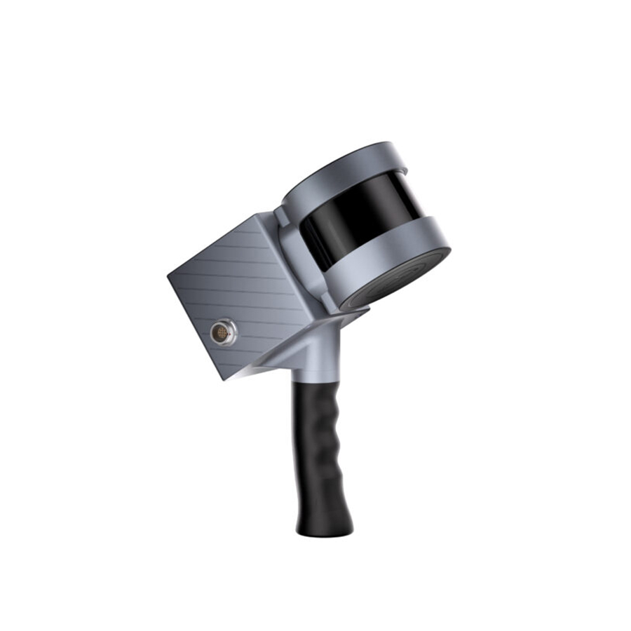
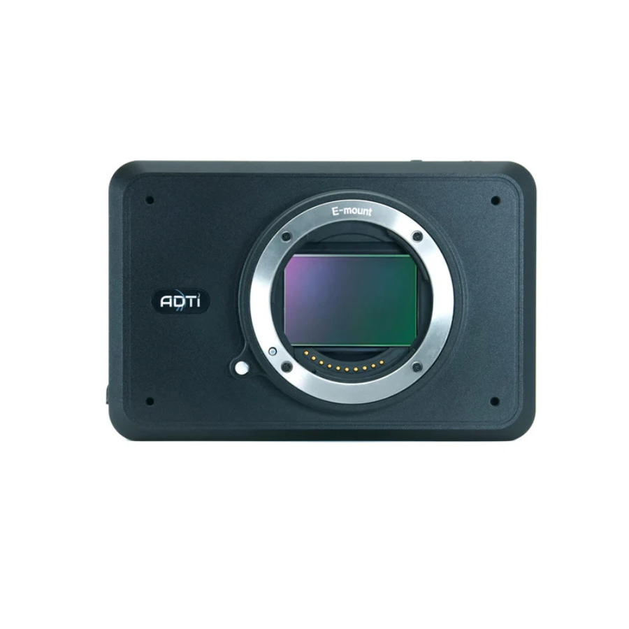
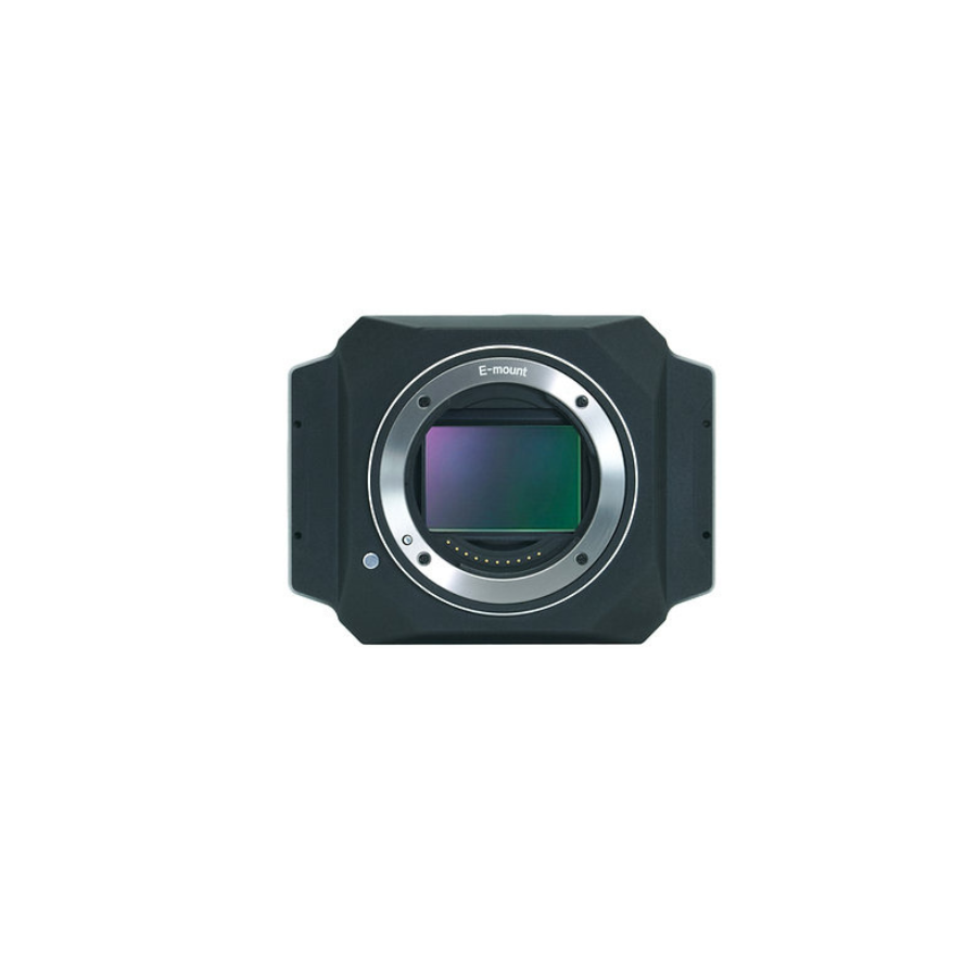
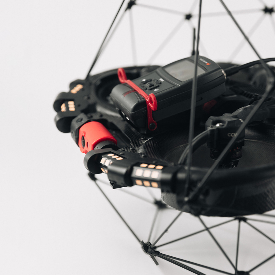
At Xboom, we offer cutting-edge Land Survey and LiDAR solutions designed for precision, speed, and efficiency. Our range of drones and equipment helps professionals capture accurate topographic data, create detailed 3D maps, and streamline planning processes. Whether you’re surveying construction sites, agricultural fields, or large landscapes, our LiDAR technology ensures reliable results even in challenging environments. With easy integration, real-time data processing, and expert support, Xboom’s solutions are perfect for engineers, planners, and surveyors. Upgrade your workflow with advanced surveying tools that save time, reduce manual effort, and boost accuracy. Explore our Land Survey and LiDAR products today!


FAQ’s on Land Survey & Lidar
What is LiDAR technology?
LiDAR (Light Detection and Ranging) uses laser pulses to measure distances and create detailed 3D maps of terrain and objects.
How is LiDAR used in land surveying?
LiDAR captures precise topographic data quickly, helping surveyors map large areas, detect features, and analyze landforms accurately.
What are the benefits of using LiDAR over traditional surveying?
LiDAR is faster, more accurate, works in difficult terrains, and can collect data even under dense vegetation or low light.
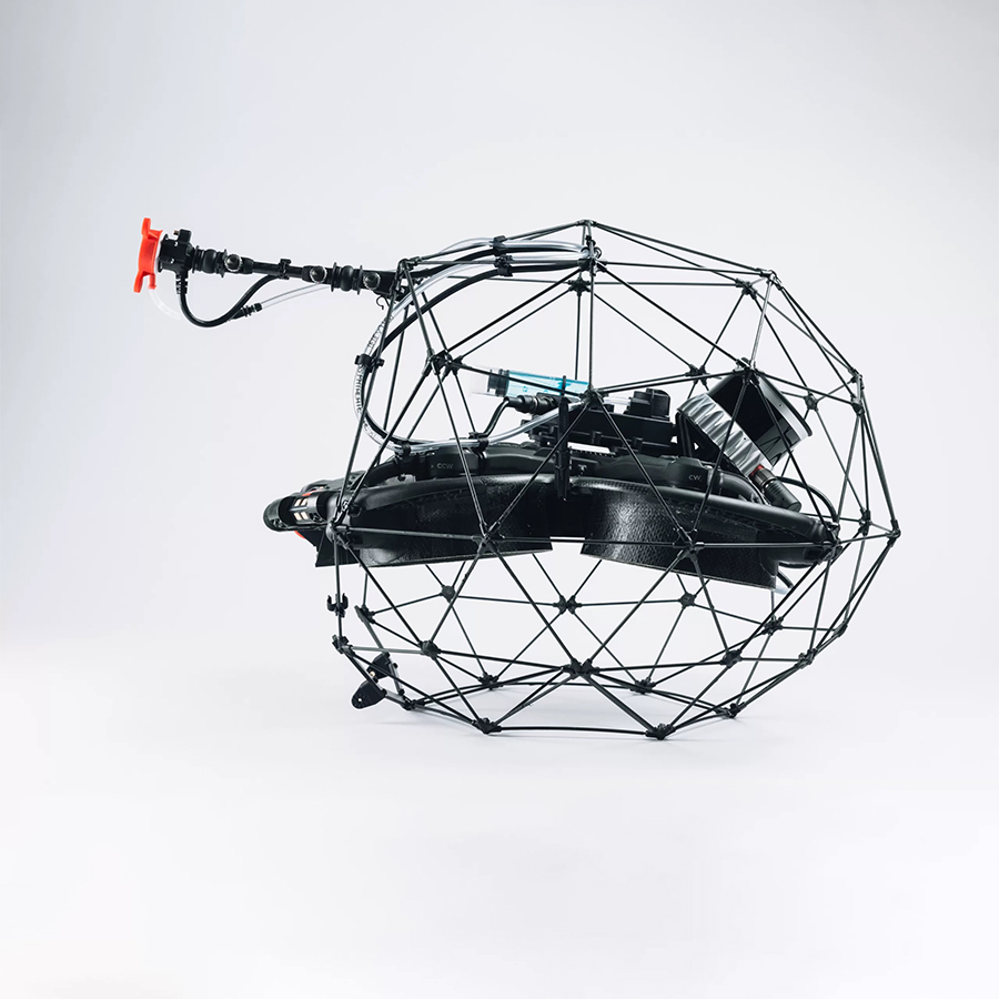
Can LiDAR be used with drones?
Yes, LiDAR sensors can be mounted on drones for efficient aerial surveying and mapping.
Who can benefit from Xboom’s Land Survey & LiDAR solutions?
Engineers, surveyors, architects, construction planners, and agricultural professionals can all benefit from our products.
Does Xboom provide support and training for LiDAR equipment?
Yes, we offer expert support and guidance to help users get the most from their LiDAR tools.
Conclusion
Xboom’s Land Survey and LiDAR solutions bring the future of surveying technology right to your fingertips. Designed for accuracy, speed, and ease of use, our advanced LiDAR systems capture highly detailed 3D data, allowing professionals to create precise maps and models quickly. Whether you work in construction, agriculture, environmental planning, or engineering, our tools simplify complex surveying tasks and improve decision-making. Using drones equipped with LiDAR sensors, you can cover large areas efficiently, even in challenging terrains or dense vegetation, saving time and reducing manual effort.
Our solutions integrate seamlessly with existing workflows, providing real-time data processing and reliable results that meet industry standards. At Xboom, we understand that technology alone is not enough, so we back our products with expert support and training to help you maximize your investment. With our cutting-edge equipment and dedicated customer service, you can enhance your project accuracy, minimize risks, and boost productivity.
Explore Xboom’s Land Survey and LiDAR product range today to upgrade your surveying capabilities. Trust Xboom to deliver the precision and efficiency your projects demand—empowering you to work smarter, faster, and with confidence.
