Introduction
The DJI Zenmuse L2 stands at the forefront of sensor technology, combining advanced lidar with high-definition RGB imaging to deliver unprecedented data quality and precision. This hybrid sensor system is designed to enhance a variety of applications across multiple industries, revolutionizing how professionals capture, analyze, and interpret environmental data.
Technical Specifications of the Zenmuse L2
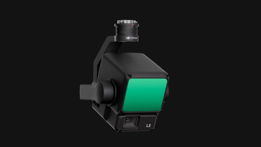
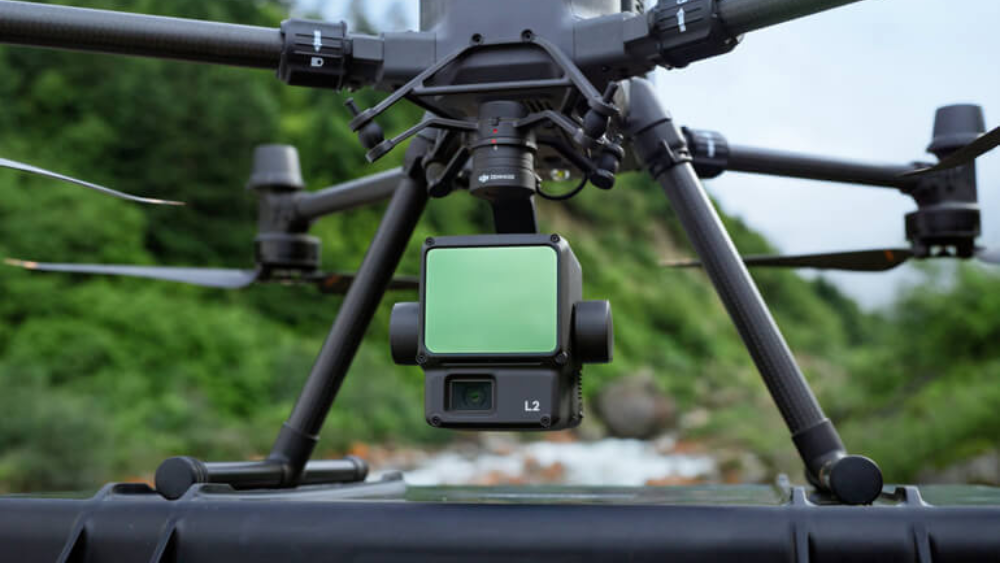
At its core, the Zenmuse L2 features a powerful lidar sensor that can measure distances up to 1,000 meters with an impressive point rate. Accompanied by a high-resolution camera, it captures detailed color images, enhancing the depth of data collected. This integration not only ensures accurate surface details but also facilitates a seamless workflow in harsh and demanding environments due to its rugged design and weather resistance.
Use Cases Across Various Industries
Geospatial Mapping: For professionals in construction and urban planning, the Zenmuse L2 is indispensable for creating detailed 3D representations of land surfaces, helping to plan projects with greater accuracy and efficiency.
Forestry and Agriculture: In forestry, the Zen L2 assists in managing forest health and biomass estimation. For agriculture, it aids in precision farming techniques, monitoring crop health, and optimizing resource distribution.
Infrastructure Inspection: The ability to capture detailed structural data makes the Zenmuse L2 perfect for inspecting bridges, towers, and energy facilities, ensuring maintenance and safety with less human risk.
Archaeology and Conservation: Archaeologists use the L2 to map and explore historical sites without disturbing them, while conservationists monitor changes in protected areas to aid in environmental preservation.
Public Safety and Emergency Response: During emergencies, rapid deployment with the Zenmuse L2 helps in search and rescue operations and disaster assessment, providing crucial information to responders on the ground.
Benefits of Using the Zenmuse L2
The combination of lidar and RGB imaging allows the Zenmuse L2 to produce highly accurate, georeferenced data layers that are immediately available for analysis. This capability is pivotal for industries where time and accuracy are critical, reducing operational costs and enhancing the effectiveness of the data gathered.
Looking Ahead: Future Implications
As sensor technology evolves, the potential applications for the Zen L2 are vast. Future enhancements might include greater integration with AI and machine learning, offering even smarter data processing capabilities. Such advancements will undoubtedly expand the scope of what’s possible, from automated data analysis to predictive modeling across various sectors.