
Description
SkyHub Software Package is a cutting-edge solution designed to seamlessly integrate with methane detection sensors and UAVs for real-time gas leak monitoring, environmental assessments, and industrial safety inspections. SkyHub provides precise methane concentration data, automated flight path planning, and live data visualization, making it an essential tool for oil & gas industries, environmental agencies, and infrastructure monitoring.
Real-Time Methane Detection & Mapping – Captures and processes methane concentration levels with high accuracy.
Automated Flight Path Optimization – AI-driven algorithms ensure efficient and thorough gas leak inspections.
Live Data Visualization & Reporting – Displays methane concentration levels on interactive 3D maps for in-depth analysis.
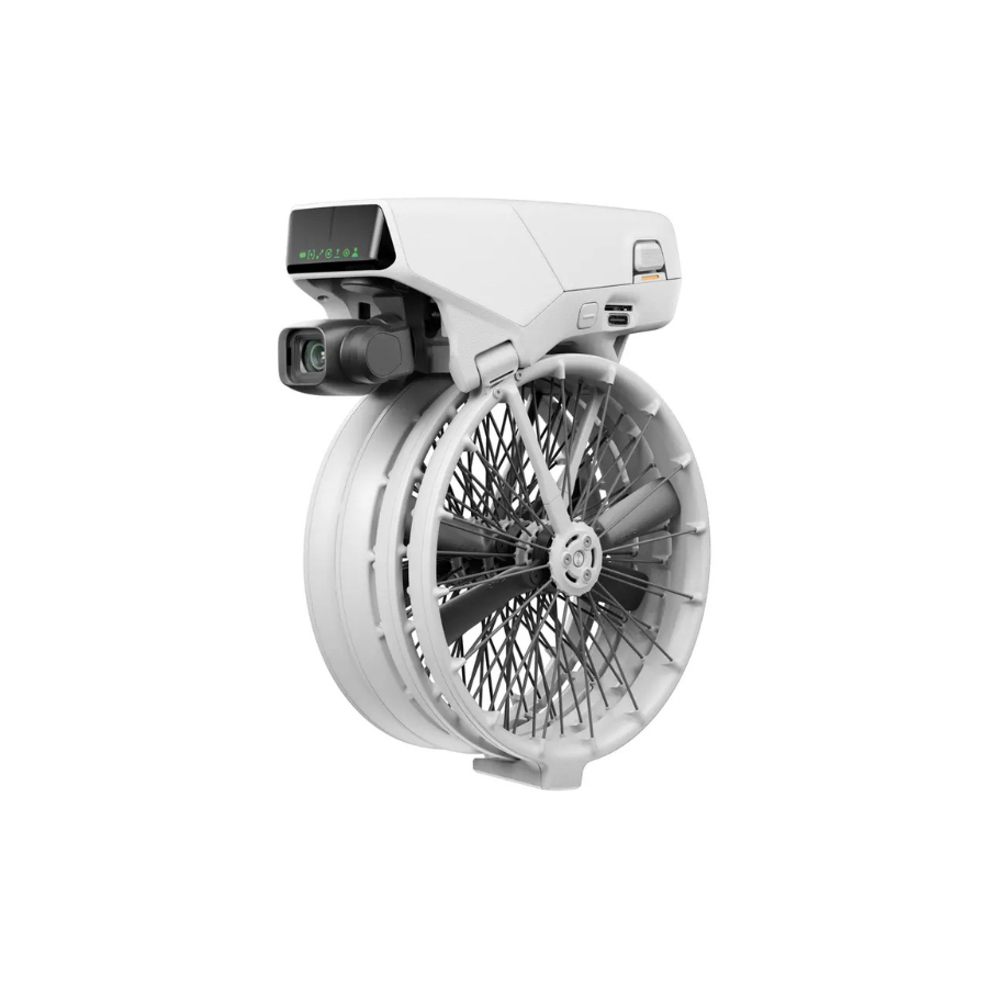
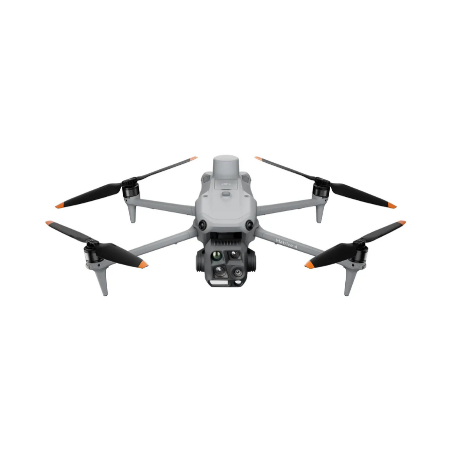
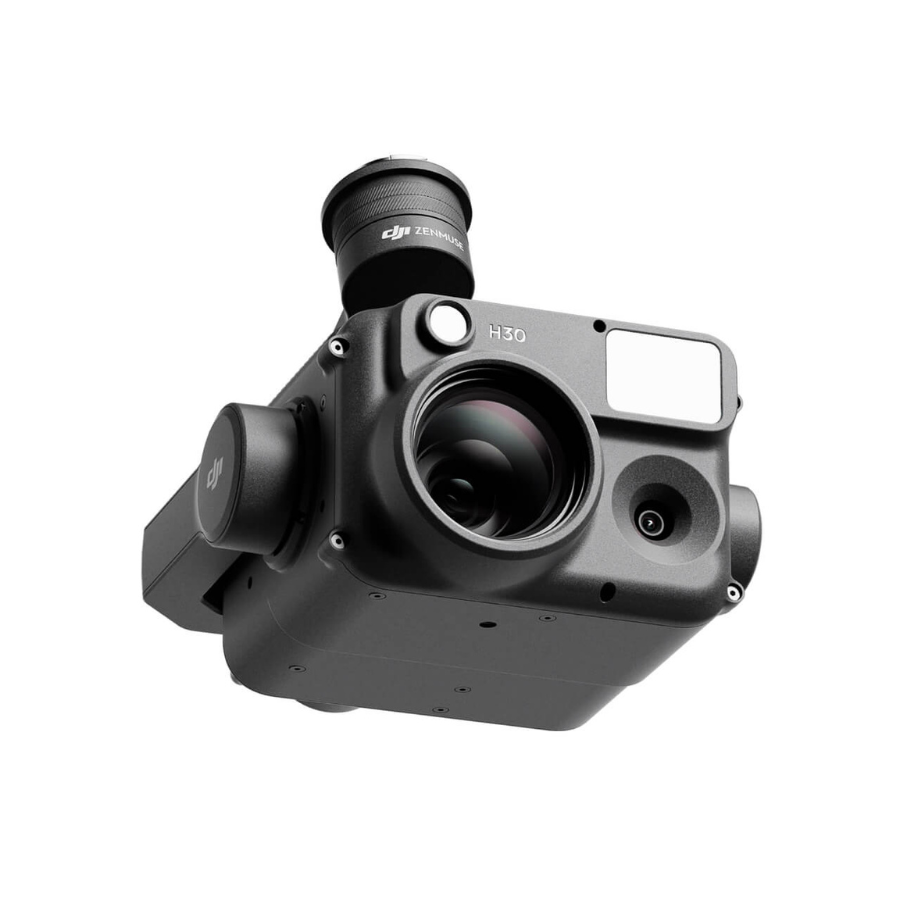
Seamless UAV Integration – Compatible with a range of methane detection drones and sensors.
Specifications
General
| Specification | Details |
|---|---|
| Methane Detection Capability | Real-time monitoring & high-precision gas concentration analysis |
| Flight Path Optimization | Automated and AI-driven route planning for efficient gas leak inspections |
| Live Data Visualization | Interactive 3D maps & real-time methane concentration overlays |
| Drone & Sensor Compatibility | Seamlessly integrates with various UAV platforms and methane detection sensors |
| Alert & Notification System | Instant safety alerts when methane levels exceed set thresholds |
| Cloud & Offline Functionality | Supports cloud-based data storage & offline operation in remote areas |
| Regulatory Compliance | Generates detailed reports aligning with environmental safety standards |
| Multi-Sensor Support | Compatible with LiDAR, infrared, and other environmental sensors |
| Data Export & Reporting | Exports data in multiple formats (CSV, PDF, GIS-compatible formats) |
FAQs
1. What industries benefit from the SkyHub software package?
SkyHub is ideal for industries such as oil & gas, environmental research, industrial safety, waste management, and agriculture. It helps detect methane leaks in pipelines, refineries, landfills, and livestock farms.
2. Which drones and sensors are compatible with SkyHub?
SkyHub supports a wide range of UAV platforms and methane detection sensors. It can also integrate with LiDAR, infrared, and additional environmental monitoring tools for enhanced inspection accuracy.
3. Can SkyHub operate in remote areas without internet connectivity?
Yes! SkyHub features an offline mode, allowing operators to collect and analyze methane data in remote locations, with the ability to sync data once an internet connection is available.
4. Does SkyHub provide automated flight path planning?
Absolutely! SkyHub offers AI-powered flight path optimization, ensuring efficient coverage of target areas while avoiding unnecessary drone battery consumption.
5. How does the software alert users about high methane concentrations?
SkyHub features a customizable alert system that sends instant notifications via the software interface, email, or SMS when methane levels exceed predefined safety thresholds.


There are no reviews yet.