Description
Introducing Avia LiDAR sensor
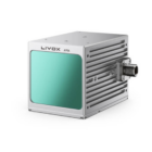
The Livox Avia is a high-performance LiDAR sensor designed for diverse applications, including robotics, autonomous vehicles, and mapping. It features cutting-edge technology for precision and efficiency, offering compact size, high resolution, and extensive detection range. With advanced algorithms for seamless integration and enhanced environmental adaptability, Avia delivers reliable performance for various industrial and research scenarios.
Features
| Feature | Details |
|---|---|
| Detection Range | Up to 450 meters in optimal conditions. |
| Field of View | Horizontal: 70.4°; Vertical: 4.5°. |
| Point Density | High point density for detailed mapping. |
| Weight | Compact and lightweight at 498 grams. |
| Power Consumption | Low power usage for prolonged operations. |
| Scanning Patterns | Versatile patterns for application-specific needs. |
| Weather Resistance | Reliable in various weather conditions. |
| Integration | Compatible with multiple platforms and systems. |
| Data Output | High-speed and reliable data transmission. |
| Applications | Ideal for mapping, navigation, and surveillance. |
Long Detection Range
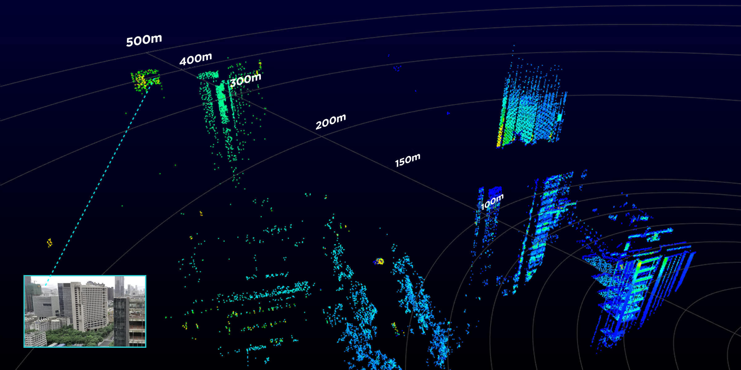
The Livox Avia dynamically adjusts its detection range based on ambient light intensity while effectively minimizing noise. Under low-light conditions, such as at night, indoors, or on overcast days, its range extends up to 450 meters, enabling precise capture of distant objects in great detail.
Dual-Scanning Mode
The Livox Avia leverages multi-line lasers and high-speed scanning to deliver a point cloud data rate of up to 240,000 points per second. It supports both repetitive and non-repetitive scanning modes, offering versatility to suit diverse application scenarios.
Non-repetitive Circular Scanning
In non-repetitive scanning mode, the system increases its coverage area over time, enhancing the detection of objects and fine details within the field of view. This mode is particularly effective for applications like traditional mapping and low-speed autonomous driving, where comprehensive area coverage is crucial.
Repetitive Line Scanning
The repetitive scanning mode of the Livox Avia is optimized for applications demanding high precision and uniform point cloud distribution. It excels in scenarios such as mapping agricultural fields, forests, and hill slopes, as well as inspecting construction sites where consistent and accurate data collection is crucial.
Light, Compact, and Easily Integrated
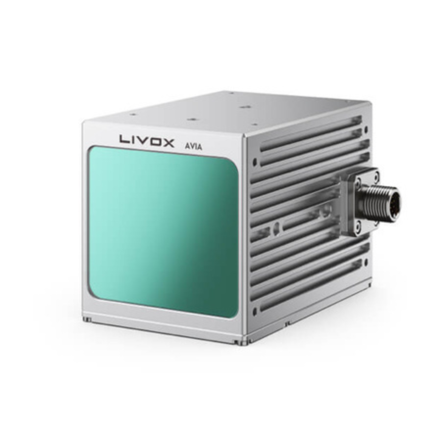
The Livox Avia is designed for effortless connectivity using a standard conversion cable, ensuring quick setup. Its inclusion of M12 circular connectors makes it ideal for installations in confined spaces, enhancing its adaptability across various integration scenarios.
Diverse Application Scenarios
Power Line Surveying and Mapping
Avia’s long-range capability enables mapping at higher altitudes with improved efficiency. Its specialized spot shape offers enhanced resolution and range for thin structures like power lines, while the repetitive scanning mode ensures precise surveying and mapping.
Forestry Surveying and Mapping
In terrain-focused scenarios, Avia’s triple-return feature captures extensive point clouds from canopies and terrains, ensuring detailed data collection for critical natural environment surveys and mapping.
Mobile Surveying and Mapping
Weighing under 500g, Avia is optimized for mobile applications where space and weight constraints are critical. Its built-in inertial measurement unit (IMU) provides spatial posture and acceleration data, enhancing system design flexibility.
Smart Cities
With a 70°+ field of view, Avia captures large-scale point clouds in a single scan. Its long-range capabilities and non-repetitive scanning mode generate high-density, high-resolution point cloud models over time, ideal for urban mapping need
Specifications












There are no reviews yet.