
Read More
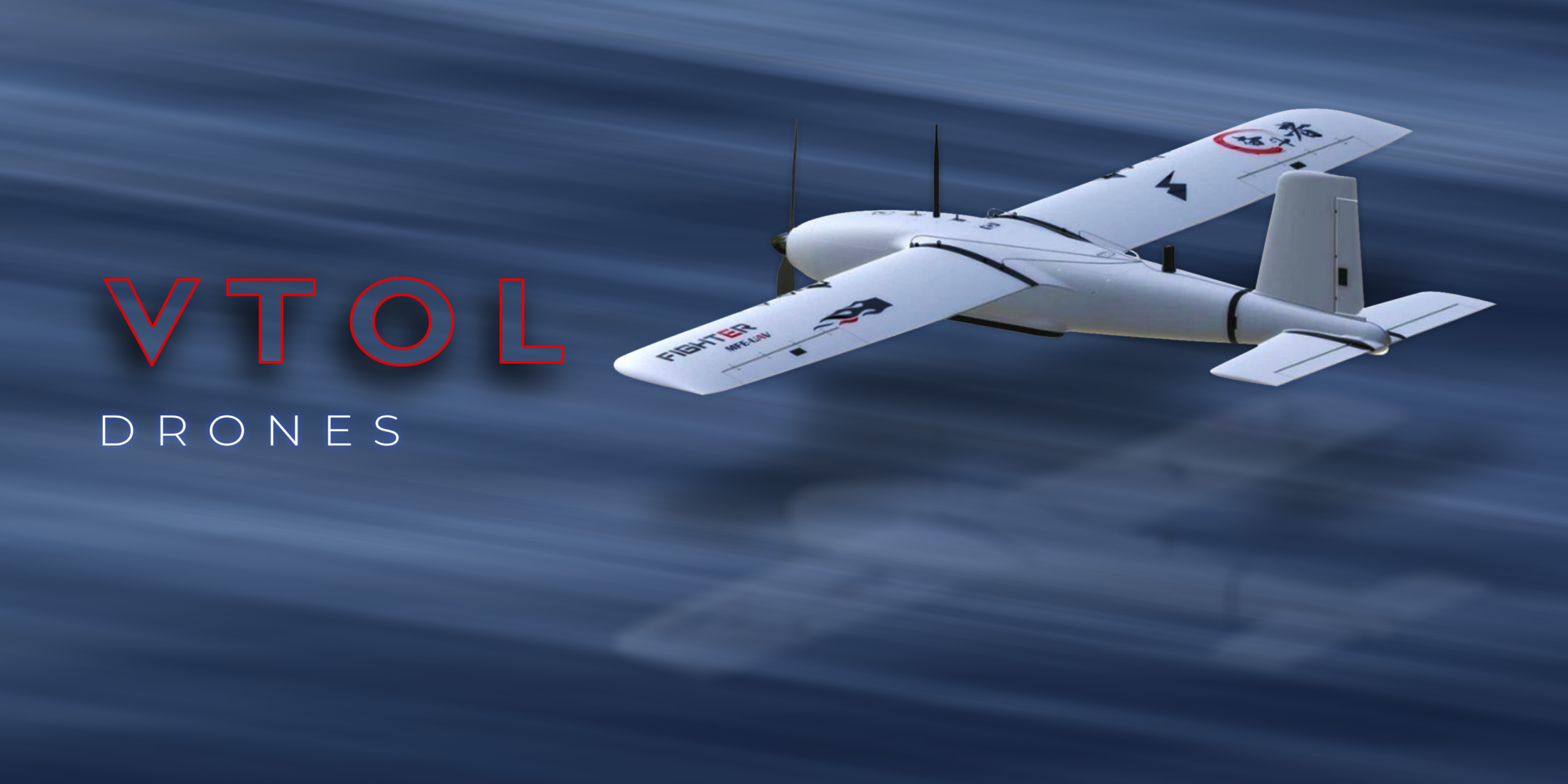
VTOL Drones: Revolutionizing Aerial Surveying and Mapping
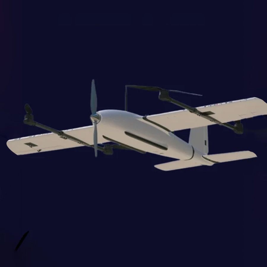
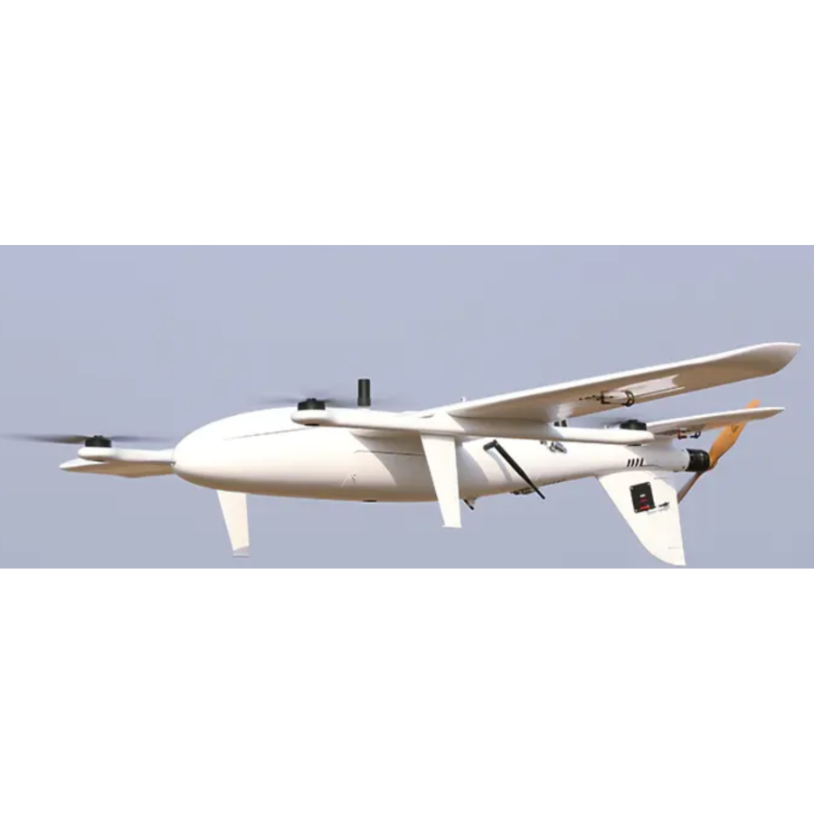
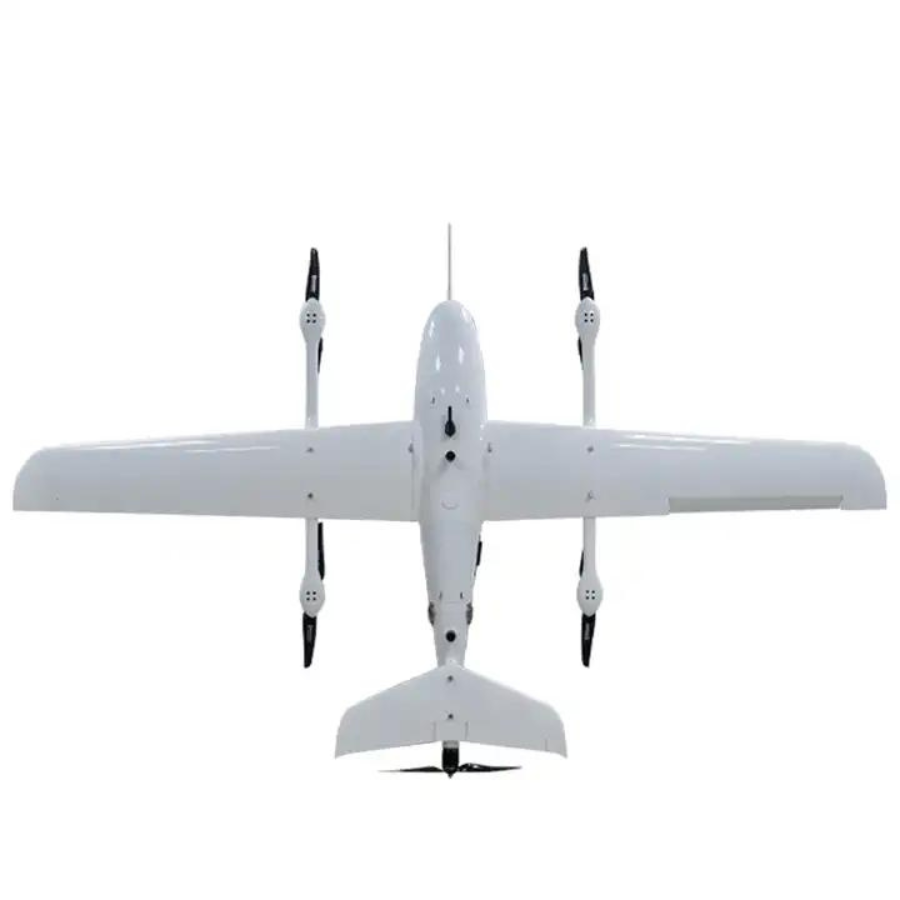
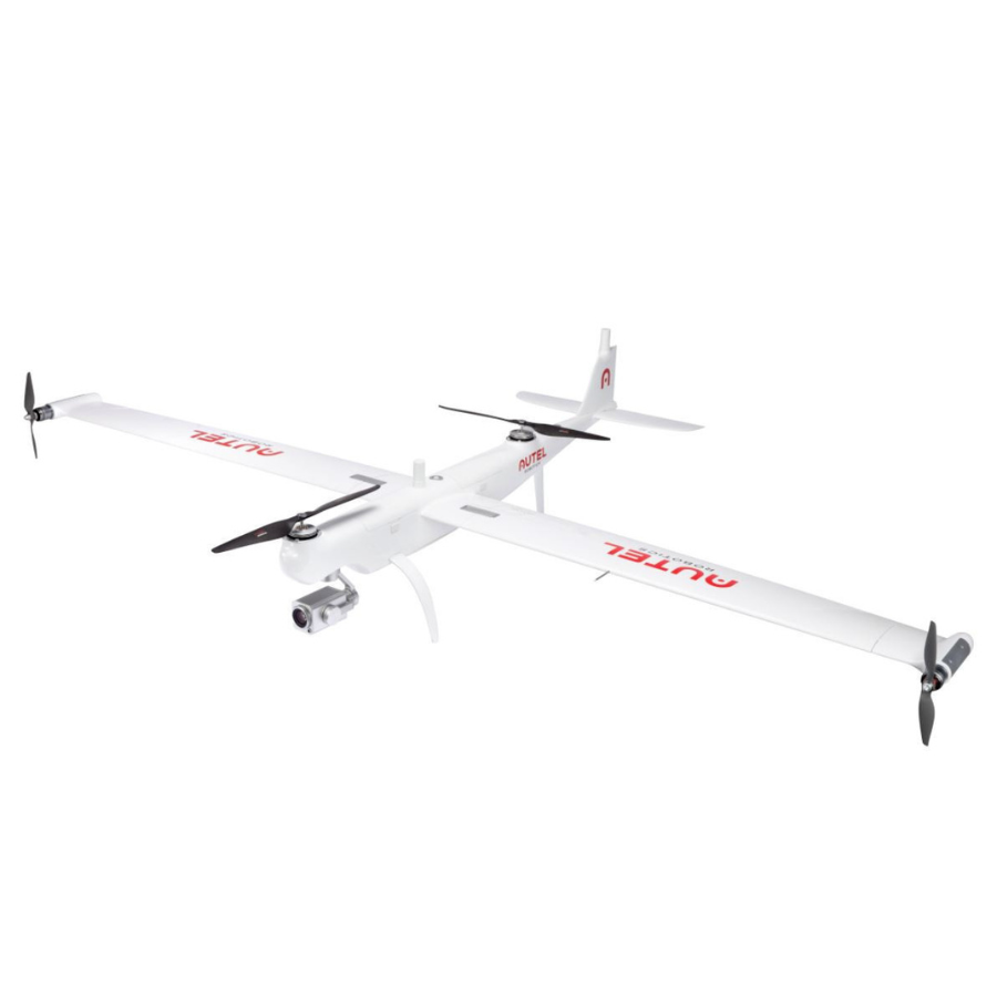
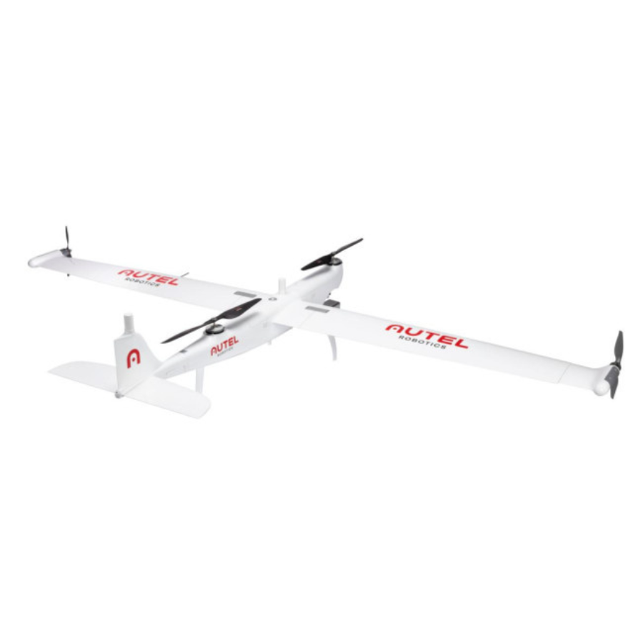
In the dynamic world of aerial technology, VTOL (Vertical Take-Off and Landing) drones are emerging as game-changers, especially in fields requiring precision, efficiency, and flexibility. These drones combine the agility of helicopters with the endurance and speed of fixed-wing aircraft, making them highly sought after for a variety of applications. At xboom.in, we’re excited to explore the capabilities, applications, and benefits of VTOL drones, offering insights into why they’re becoming indispensable tools for professionals across industries.
The Rise of VTOL Drones in Professional Use
VTOL drones are not just technological marvels; they’re practical solutions to real-world challenges. Their unique design allows them to hover, take off, and land vertically in confined spaces, while also covering large distances quickly and efficiently when in flight. This dual capability makes VTOL drones ideal for detailed surveying and mapping tasks, where precision and versatility are paramount.
Why Choose a VTOL Drone for Surveying?
Survey Drone technology, particularly VTOL Survey Drones, is revolutionizing the way data is collected and analyzed. These drones provide unparalleled accuracy in capturing topographic data for construction, agriculture, and environmental monitoring. With the ability to deploy quickly and navigate challenging terrains without the need for a runway, VTOL drones streamline the surveying process, saving time and resources while delivering high-quality data.
VTOL Drone Buy in India
The market for VTOL drones is expanding globally, with India emerging as a significant player. At xboom.in, enthusiasts and professionals looking to embrace VTOL technology can find an extensive selection of VTOL drones. Whether for surveying, mapping, or other professional applications, our platform ensures that you have access to the latest and most advanced VTOL drones.
Understanding VTOL Drone Price and Value
When considering a VTOL drone, price is an important factor. The VTOL drone price in India varies based on features, capabilities, and specifications. At xboom.in, we provide a range of options to fit different budgets and requirements. Investing in a VTOL professional drone is not just about the initial cost; it’s about understanding the value it brings to your operations. Enhanced efficiency, precise data collection, and the ability to tackle diverse projects make the investment worthwhile.
VTOL Drone Price India: What to Expect
The VTOL drone price in India reflects the advanced technology and versatility these drones offer. Prices can range based on the model, payload capacity, and additional features. However, considering the long-term benefits and potential ROI, a VTOL drone is a smart investment for professionals looking to leverage cutting-edge aerial technology.
Choosing the Right VTOL Professional Drone
Selecting the right VTOL professional drone involves considering several factors, including flight time, payload capacity, ease of use, and the specific needs of your projects. At xboom.in, we’re committed to helping you find the perfect match for your professional requirements, ensuring that you get a drone that not only fits your budget but also enhances your operational capabilities.
VTOL Drones: A Smart Investment for the Future
As the demand for accurate and efficient surveying and mapping solutions grows, VTOL drones are set to play a pivotal role in meeting these needs. Their ability to take off and land vertically, combined with the capacity to cover large areas quickly, makes them an invaluable asset in any professional’s toolkit.
Conclusion
VTOL drones represent the forefront of aerial surveying technology, offering a blend of versatility, efficiency, and precision unmatched by traditional drones. Whether you’re looking to buy a VTOL drone in India or seeking to understand the VTOL drone price, xboom.in is your premier destination for all things VTOL. Embrace the future of aerial surveying and mapping with a VTOL drone, and unlock new possibilities in accuracy and efficiency.
FAQs
1. What is a VTOL Drone?
A VTOL (Vertical Take-Off and Landing) Drone is an advanced aerial vehicle that combines the capabilities of helicopters and airplanes, allowing it to lift off, hover, and land vertically while being able to cover long distances efficiently.
2. How does a VTOL Survey Drone enhance surveying tasks?
VTOL Survey Drones offer precise, efficient, and flexible surveying capabilities. They can quickly cover large areas, provide high-resolution images, and access difficult terrains, making them ideal for accurate topographic surveys, construction planning, and environmental monitoring.
3. Where can I VTOL drone buy in India?
You can purchase VTOL drones in India through specialized retailers and online platforms like xboom.in, which offers a curated selection of VTOL drones suitable for various professional and recreational applications.
4. What factors influence the VTOL drone price?
The VTOL drone price is determined by several factors, including its design, flight capabilities, camera quality, battery life, and additional features such as GPS and sensor technology. Higher-end models with advanced features will generally be more expensive.
5. How do VTOL drone prices in India compare to other countries?
VTOL drone prices in India are competitive and can vary based on import duties, taxes, and availability. xboom.in strives to offer the best prices by working closely with manufacturers and suppliers.
6. What are the benefits of using a VTOL professional drone over traditional drones?
VTOL professional drones offer superior versatility in take-off and landing, greater efficiency in covering large areas, and enhanced stability and precision in data collection, making them the preferred choice for professional surveying and mapping tasks.
7. Can VTOL drones be used for agricultural purposes?
Yes, VTOL drones are increasingly used in agriculture for tasks such as crop monitoring, precision spraying of pesticides and fertilizers, and analyzing soil conditions, helping to improve crop yields and reduce waste.
8. Are VTOL drones difficult to operate?
While VTOL drones incorporate sophisticated technology, manufacturers strive to make them user-friendly with intuitive controls and automated flight modes. Training and practice are recommended to fully master their operation.
9. What is the typical flight time of a VTOL drone?
The flight time of a VTOL drone can vary widely depending on the model and its battery capacity, ranging from 30 minutes to several hours on higher-end models designed for extended missions.
10. How can I find the best VTOL drone for my needs?
To find the best VTOL drone, consider your specific requirements such as the type of surveys you’ll be conducting, desired flight time, payload capacity, and budget. xboom.in offers a range of VTOL drones and provides expert guidance to help you make the right choice.
Applications of VTOL Drones: Revolutionizing Industries with Advanced Aerial Capabilities
- Emergency Response and Search & Rescue: VTOL drones swiftly reach remote or hard-to-access locations during emergencies, providing first responders with critical information and even delivering supplies. For instance, in mountainous areas, VTOL drones can locate lost hikers by using thermal imaging cameras, significantly reducing search times and increasing survival rates.
- Precision Agriculture: In the agricultural sector, VTOL drones monitor crop health, assess soil conditions, and spray fertilizers or pesticides with pinpoint accuracy. This application allows for targeted interventions, reducing waste and environmental impact. A VTOL drone might survey a large farm to identify areas needing specific attention, optimizing resource use and boosting yields.
- Infrastructure Inspection: VTOL drones inspect infrastructure such as bridges, power lines, and wind turbines, providing detailed images that help in identifying maintenance needs without putting human lives at risk. For example, a VTOL drone could inspect a wind turbine’s blades for damage, capturing high-resolution images from angles that are difficult to reach by other means.
- Environmental Monitoring: Environmental scientists use VTOL drones for tracking changes in ecosystems, monitoring wildlife, and assessing water quality. A VTOL drone could survey a coastal area to map erosion patterns or track the movement of wildlife in a protected reserve, offering insights into environmental preservation efforts.
- Surveying and Mapping: VTOL drones equipped with high-resolution cameras and sensors generate detailed 3D maps and surveys for construction, mining, and land management. They can quickly cover large areas, providing data that’s essential for planning and development. An engineering firm might use a VTOL drone to survey a construction site, creating a detailed topographical map for project planning.
- Delivery and Logistics: VTOL drones are being tested for delivering goods, especially in remote or congested urban areas. They offer a fast, efficient solution for last-mile deliveries, reducing road traffic and emissions. For instance, a VTOL drone could deliver medical supplies to a remote village, overcoming obstacles like poor roads and challenging terrain.
- Aerial Photography and Cinematography: VTOL drones capture stunning aerial shots for film, television, and real estate marketing. Their ability to hover and maneuver in tight spaces makes them ideal for capturing high-quality footage from unique perspectives. A real estate agency might use a VTOL drone to create an engaging aerial video tour of a property.
- Telecommunications: Telecom companies use VTOL drones to inspect and maintain towers and antennas, ensuring reliable communication services. This application minimizes downtime and improves safety by reducing the need for technicians to climb towers.
- Public Safety and Law Enforcement: VTOL drones assist in crowd monitoring, crime scene analysis, and border surveillance, providing law enforcement agencies with vital information and enhancing public safety. During large public events, a VTOL drone could offer a live aerial feed to monitor crowds and manage security effectively.
- Scientific Research: Researchers deploy VTOL drones to inaccessible regions for collecting data on climate change, geological activity, and atmospheric conditions. This enables groundbreaking discoveries and advancements in our understanding of the planet. A research team might use a VTOL drone to gather air samples from an active volcano, analyzing gases and particles without risking human life.
Looking for Assistance?


